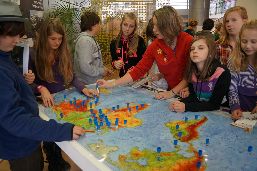
GIS Day celebrants in Liberec, Czech Republic, got a whiff of how maps can impart very interesting information, including animal scents.
Students and adults crowded around the Map of Scents at the Exploring Maps with All Senses exhibit during the 12th Annual Days of GIS for Liberec, held at the Liberec Regional Science Library. Liberec lies north of Prague and is the fifth-largest city in the Czech Republic.
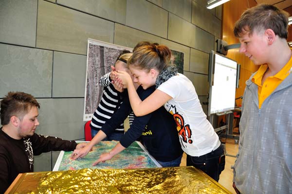
Created in cooperation with the Liberec Zoo, the Map of Scents consisted of a block of polystyrene with a painted topographic map on top of it. Visitors sniffed exotic aromas on the map such as zebra’s fur and white tiger excrement right beside more mundane scents of vanilla and lavender. The scents were in test tubes placed in holes in the polystyrene.
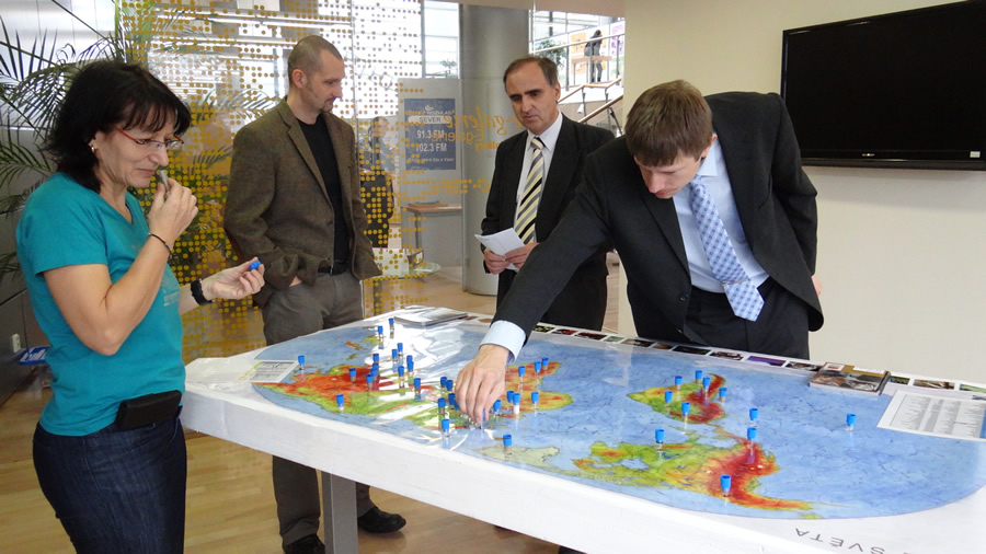
“The boys always started with animal smells,” said Irena Košková, the map’s author and a GIS specialist from the Liberec Regional Authority, one of the event’s main organizers. “Skunk was their favorite. Girls, on the other hand, preferred spices and plants. The reactions were always cheerful. In general the most popular scents were skunk, penguin, lion, and regional scents like smelly cheese, hops, and coffee.”
GIS Day celebrates geography, bringing people together to see the usefulness of maps and mapping information with geographic information system technology. More than 955 GIS Day celebrations were held worldwide, including unique events in Liberec and Huntsville, Alabama.
Nineteen organizations prepared activities for the Days of GIS in Liberec, which included a program with a lecture on digitizing of old maps created by the Liberec cartographer Josef Matouschek in the first half of the twentieth century. There was also a presentation about rain forest mapping in Cameroon.
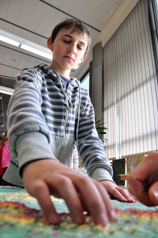
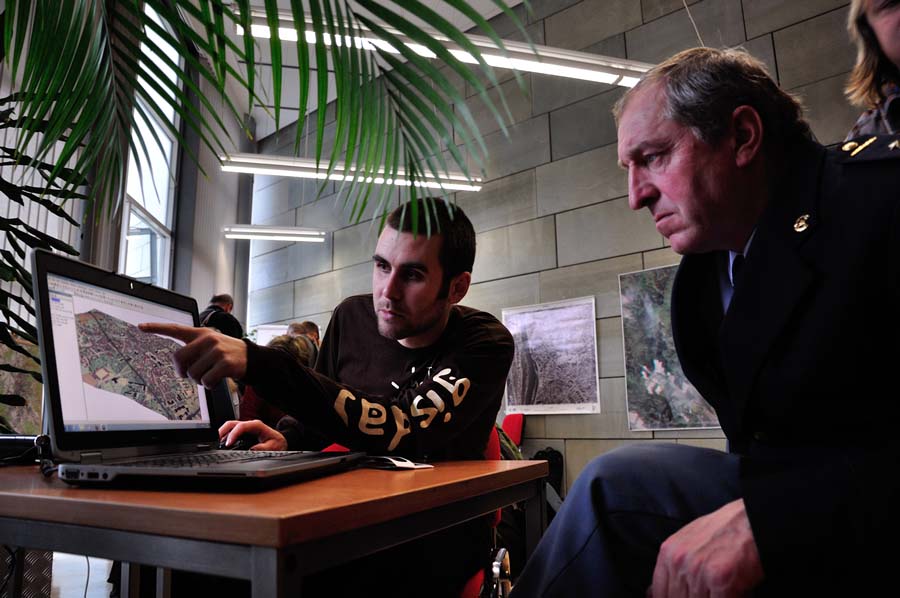
People also got a chance to work with GIS software, touch map applications on interactive boards, and see map portals focused on tourism or that showed locations of raw materials deposits. They also learned about using GIS in an integrated rescue system in crisis situations requiring a coordinated response by fire fighters, police, and medical rescuers and in cleanup operations.
More than 700 people, many of them students aged 12-18, accompanied their teachers on organized trips to the Days of GIS in Liberec, held November 20–22. Some of the children also came during their free time or attended the evening lectures. College students from the Technical University in Liberec helped with organizing the event.
“We are very pleased that the interest in Days of GIS in Liberec is still increasing,” said Košková, adding that reporters also came from national television and radio. Next year, more interactive maps will be included in the Days of GIS to spark people’s interest in geography and mapping.
“We are planning to continue with the combination of different maps—not just on the screen but maps that also allow our visitors to explore with all senses,” said Košková. “We want to introduce maps and GIS in a playful way to engage even the youngest visitors. We also would like to improve the program for the GIS specialists who work with the integrated rescue system like the firemen, police, and medical rescue [personnel].”
More than 4,866 miles away in Huntsville, Alabama, 150 sixth grade students at Ed White Middle School also were learning useful lessons on GIS Day, which they celebrated November 14.
Beverly Richey, Michele Maxson, Molly Richardson, and Kacey Tyra—representatives from the US Army Corps of Engineers’ Huntsville Engineering and Support Center—came into the classroom to explain the basics of GIS technology and how maps can tell stories.
They told the students about how they use GIS at work daily, including when they’re called to respond to natural disasters around the world.
Richey, a geographer and GIS specialist with the Corps of Engineers, led two 90-minute introductory discussions on geography that focused on the spatial perspective and how to use maps as stories.
“When you write a story, you need information,” explained Richey. “For example, your main character needs a name, or an age or a certain color hair. Well, it’s the same with maps, which need information—this is what makes GIS. G is a map front end, or the [geographic] picture, and the I-S is the information [system], which is data, whether it is a road name or name of a neighborhood.”
Christine Hunt, a sixth grade teacher at Ed White Middle School, wanted to learn ways to show her students how GIS is relevant.
“Having a geography lesson using GIS technology is important,” Hunt said, observing that students previously studied maps in textbooks but today can view them—and do research—using GIS technology. The overall goal of GIS Day, said Hunt, was to help them integrate what they learned “using a digital curriculum.”
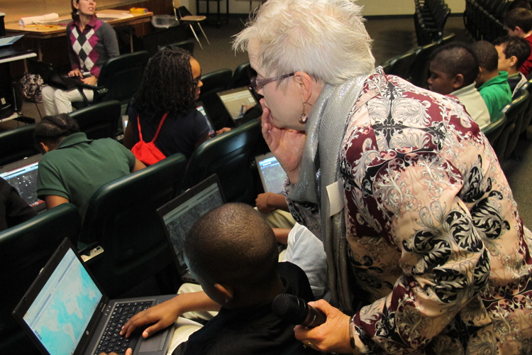
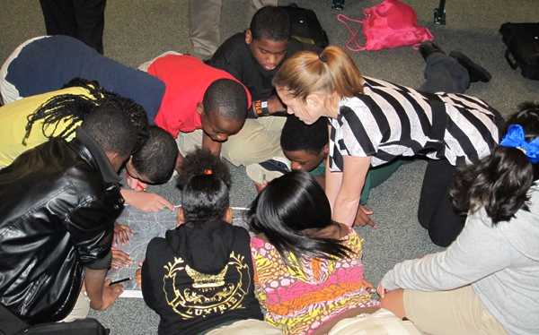
Students performed a fast-paced mapping exercise, where they got to collaborate with each other. Divided into teams, they constructed their own spatial map by finding a library, post office, hospital, movie theater, and mall. Afterward, they loaded this information onto an online map.
“The GIS people showed me how we learn different things every day that help us to make our own mind maps,” said student Kayla Black. “I didn’t know we actually store these maps in our brain and use them to get around later. I want to learn more about how GIS works.”
Assistant principal Hovet Dixon observed that middle school is the “decision point,” when students start getting involved in math or science—or get discouraged with it. This is when they decide what science, technology, engineering, or mathematics (STEM) courses they’re going to take in high school, said Dixon.
“We want our students to know about unique STEM careers like geographers, geophysicists, and GIS professionals. We include some of this into their school curriculum,” he said. “However, it’s always a plus when we can bring in outside resources to help reinforce this.”
Richey said the Huntsville Center employees were pleased to encourage the students to follow in their footsteps as GIS professionals. “I’m excited to join in on the worldwide celebration today saluting geospatial technology and its power to better our lives,” she said. “GIS is for everyone.”
