Governments
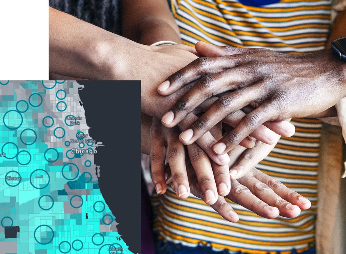
National, regional, and local governments are using GIS to better engage communities and understand the impact of historic and present-day decisions and policies on those communities. Governments use GIS to address inequities and make plans to support equitable communities.


