Sustainable Development

Build sustainable and resilient communities with GIS

Windmill; snowy mountain peak; person using a tablet in a field;  and a yellow, red, and purple shaded map

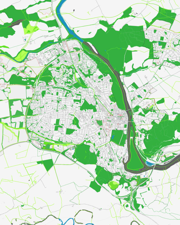
Sustainability starts with geography

Every community has a vision for a prosperous and vibrant future—one that achieves peace and prosperity for all. Use GIS technology to better understand and reduce local inequalities, implement plans that have the greatest impact, and ensure no one is left behind.

Take a geographic approach

Promoting sustainability requires a location-based understanding of the ways social, economic, and environmental factors interact in communities.

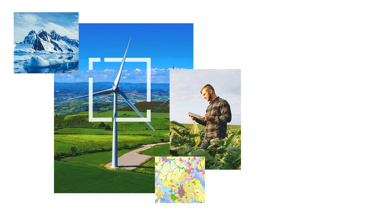
Use maps as a common language

Collect, view, and analyze data about a community with GIS. Create maps that communicate critical needs, priorities, and actions.

Create shared understanding

Connect organizations, ease collaboration, and drive collective action toward sustainable prosperity with dynamic maps and spatial analysis.

Urban highway with tree-filled median and skyscrapers in the distance
Map of sustainable infrastructure

Support sustainable growth

Maps reveal ideal places to connect green spaces for healthier ecosystems and enhanced quality of life.

Achieve sustainable development goals with GIS

Establish and measure performance baselines, monitor and account for investments, report on progress toward targets, and ensure transparency with sustainable development partners.

Connect local priorities to global goals

Sustainable development goals (SDGs) can be localized to align with a community’s vision. Use them to outline priorities and consider related targets that can increase impacts. Once you connect global goals to local priorities, use GIS to identify partners, detect gaps in services, and align communication on progress—all while guaranteeing efforts are aspirational and locally meaningful.

Aerial view of a road going through a solar farm and residential area near water.

Sustainable Development Goals

A framework for turning your vision into action

Use GIS to understand local inequalities, share SDG progress in the context of location, encourage community engagement, and combat misinformation with authoritative data and maps.

More on SDGs

Contact us

Fill out the form and an Esri expert will contact you to talk about how you can use GIS to achieve your sustainability goals.