Implementing a community service project on GIS with Esri Lebanon gave students the opportunity to think wider. It sparked their curiosity to always learn new things and use them in their schools' projects, and it challenged them to be creative and show how powerful youth are in innovating solutions."
User Story
Students Leverage GIS for Stronger Neighborhood Connections
Article Summary
- Esri Lebanon designed GIS Awareness for Schools to introduce students and teachers to ArcGIS, enabling them to implement the technology in their curriculum.
- Products used: ArcGIS Survey123, ArcGIS StoryMaps, ArcGIS Dashboards.
To compete with the demand of an increasingly technology-forward world, Esri Lebanon launched GIS Awareness for Schools, a geospatial program for students and teachers. The program enhances a school's curriculum to help students understand issues and solve problems in a deeper, more holistic way, and then communicate their findings and act.
The GIS Awareness for Schools program began in 2014 with a focus on K–10 and K–11 students.
The goal of the program is to open a range of possibilities for the students. Schools can leverage geographic information system (GIS) technologies to enhance their curriculum and give students the ability to learn more about their neighborhoods through projects that focus on using GIS to solve problems.
Esri Lebanon knows how critical GIS is in preparing students for a future in the workforce or in higher education. In the past, teaching geography meant that teachers were using outdated textbooks and paper-based maps, so students could not easily share data or information with one another.
Implementing GIS in the Curriculum
Esri Lebanon provided the schools with a free enterprise login, or single sign-on, to ArcGIS. Students and teachers were able to access a suite of Esri products to build web applications, collect data, build interactive maps, and explore topics of interest related to geography. In addition to the technology aspect of the project, students engaged in collaborative work, sharing ideas, negotiation, and presentation skills.
The program offered students and teachers at two schools, Our Lady of Mount Carmel College, Fanar, and Our Lady College, Sahel Alma, the opportunity to attend workshops where they saw firsthand how to integrate geospatial technology into their curriculum. During the two-hour in-person GIS awareness workshop, teachers and students learned how to find, explore, and create GIS maps using ArcGIS Dashboards, a free, web-based application viewer. Teachers also explored how to guide students through solving a problem using GIS.
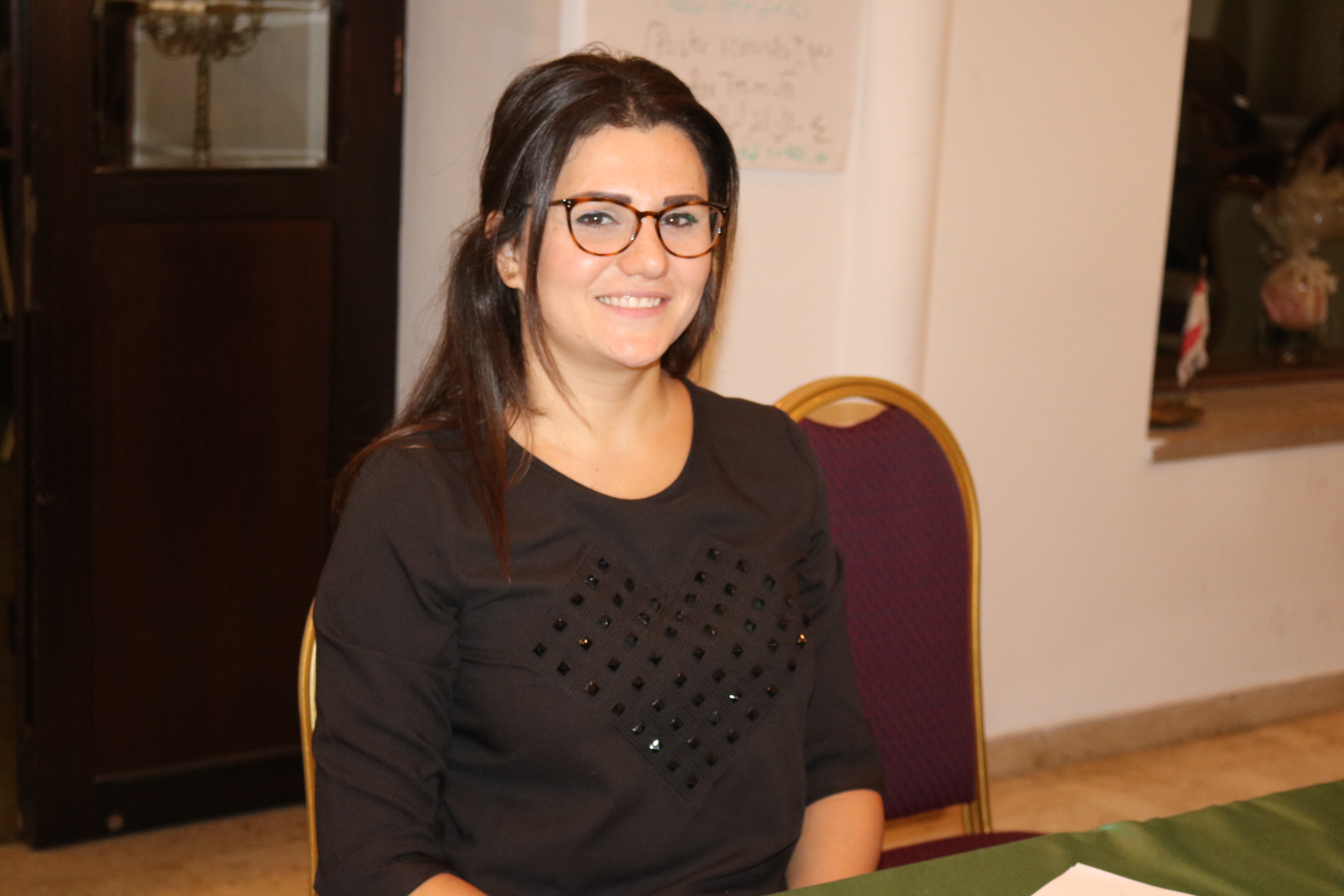
"Participating in the GIS program by Esri was like nothing I'd ever done before. With our world and its technology moving forward and upgrading every day, it helped me comprehend the complexity of [the technology] and stay up-to-date with its evolution," said Leaticia Whaibe, student at Our Lady College - Sahel Alma. After the workshop concluded, staff from Esri Lebanon assisted the schools as needed by following up on the students' progress, remotely, in many cases. |
Mapping Trees and Plants with Interactive Data
Students in the program gained valuable insight into their own neighborhoods and communities. Whaibe from Our Lady College -Sahel Alma worked on a StoryMaps story to discover plant cover in the Qannoubine region in Lebanon. This region is known for its mountains and greenery and has several names, including Wadi Qadisha, Wadi Al-Maqdis, and Wadi Qannoubine. The region's a vast natural area contains a river and various trees, some of which are thousands of years old. Many plants in the region also have medicinal properties, which help the monasteries and cultures surrounding the region. About their project, Whaibe said, "I had the chance to discover more in-depth every corner of Qannoubine, with every tree, plant, hill, cave, and church that enriches it and embellishes Lebanon's diverse culture." Because of the size of the region and its many tree species, the students' project aimed to group together common plants and trees found in the valley. The students researched what tree species and plants were in the valley and then assembled their findings into ArcGIS with ArcGIS Survey123, a simple and intuitive data collection solution. Once all the data was collected and organized into ArcGIS Survey123, the students prepared an interactive StoryMaps story to share their data through visual storytelling. The story also encourages visitors to interact with GIS technology to learn more about the trees and plants in the region by scanning a QR Code, created by the students. The QR Code leads visitors to more information about the trees in the area. "Being part of this project was a truly worthwhile experience. It pushed what was once just an idea into becoming a reality that others can benefit from. Seeing that we can make a change amid an economic crisis with our combined efforts has sparked new hope in our spirits, and we can't thank Esri enough for that," said Pierre Safadi, student at Our Lady College - Sahel Alma. |
Leveraging Dashboards for a Digital Library Collection
Students at Our Lady of Mount Carmel – Fanar College leveraged GIS to create the first digital library in Lebanon. The dashboards were created using ArcGIS Dashboards, which provides an intuitive and interactive way to present data visualizations on a single screen. Sin el-Fil's public library is an important destination for students of science and culture, with reliable access to the internet and free research support available to students. The newly created digital library allows users to browse the nearly 4,000 available books and view and manage the book-borrowing process through dashboards.
|
Future Uses of GIS in the Classroom
Since the launch of GIS Awareness for Schools, Esri Lebanon has assisted 20 teachers with developing their skills in teaching GIS technology and 2,000 students in using GIS to learn more about their environments. One key component of the program is that students have an opportunity to explore additional career fields and make advancements to other lessons. "Updating and maintaining our program is one of our daily duties. We are doing our best to make GIS up-to-date and a good fit for the schools' curriculum. Youth empowerment is incredibly important— [the GIS program] gives kids and teens the courage to believe in themselves, not be swayed by the opinions of others, and go after their dreams," said Gretta Kelzi, senior operation manager, Esri Lebanon. |