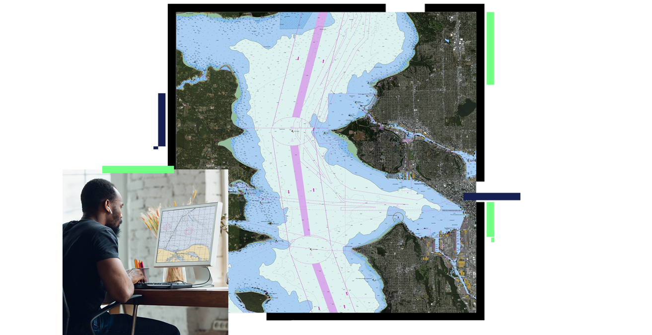
More than navigational charts
Enable highly automated workflows supporting international digital and paper chart standards as well as fully customized products. Effectively use and analyze your spatial data to make better decisions about protected areas, border protections, coastal management, infrastructure investment, and emergency planning with ArcGIS Maritime. It also supports the following:
- Accelerated nautical chart production
- Easy incorporation of S-57 data
- Optimized chart production workflows
- Data sharing services


