What you get
Online and desktop mapping and analysis software with secure accounts and data, along with access to online training, Esri partners, and professional services

GIS for school and district mapping and operations
The business of a school requires managing a complex operation. GIS boosts demographic analysis, facilities management, campus health and safety, and other operations. ArcGIS, the industry-leading GIS software, enables analysts, data creators, and policy makers to see patterns and make informed decisions.
Every dollar saved in administration is another dollar to put toward instruction. Use ArcGIS for school administration to understand and implement new strategies for a stronger school or district.
Online and desktop mapping and analysis software with secure accounts and data, along with access to online training, Esri partners, and professional services
Administrators, analysts, researchers, interns, and contractors working with a school or district
Protect your school community from threats large and small. Situational awareness is valuable under normal conditions and priceless when problems arise. Get to know the health of your people and of mission-critical resources that keep everyone safe.

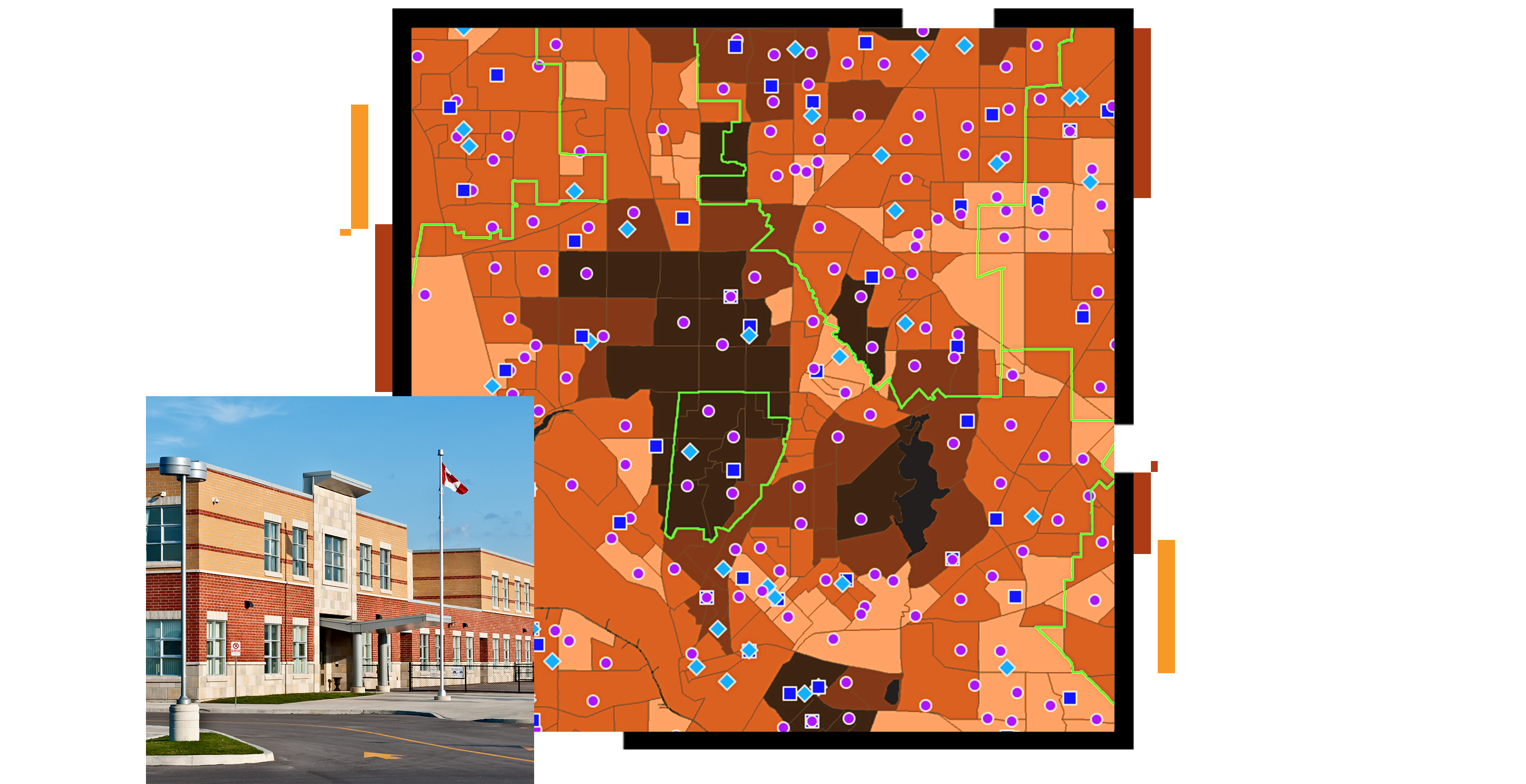
Better understand the character of your community and how it's changing. Improve resource allocation to meet needs. Define the attendance zones that best serve your residents.

Improve routing efficiency, from bus schedules and student drop-off zones to delivery of meals and classroom necessities.

Know the status of your facilities to best support student learning. Be prepared to handle new challenges outside your control.

Use The Science of Where to analyze how your district is working. Look inside the standards and assessments to find the patterns. Measure, document, and share performance across a variety of metrics.

Case study
San Bernadino County Superintendent of Schools launched the Cradle-to-Career Roadmap, spurring the creation of a singular, GIS-based open data portal.
Esri Blog
Two major cities cope with the challenges of switching to remote learning by mapping the digital divide and addressing equity gaps.
ArcNews
Examining the conditions challenging attendance helped Oakland Unified School District (USD) reduce absenteeism by engaging the local communities.
Esri Blog
Two of the largest school districts in the US used spatial analysis to provide resources to low-income students who were studying from home.
User story
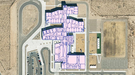
Bringing CAD data into GIS creates a model for optimizing space, addressing facilities challenges, and planning for the future.

Partner solutions
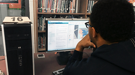
Online training
Facilities management webinars

Understand smart campuses
An Administrative Use Department License provides core components of the ArcGIS platform for research, operations, transportation, facilities management, and other tasks.