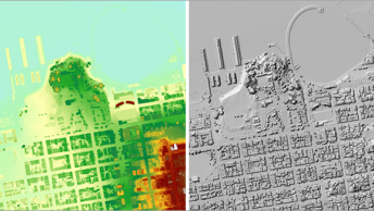
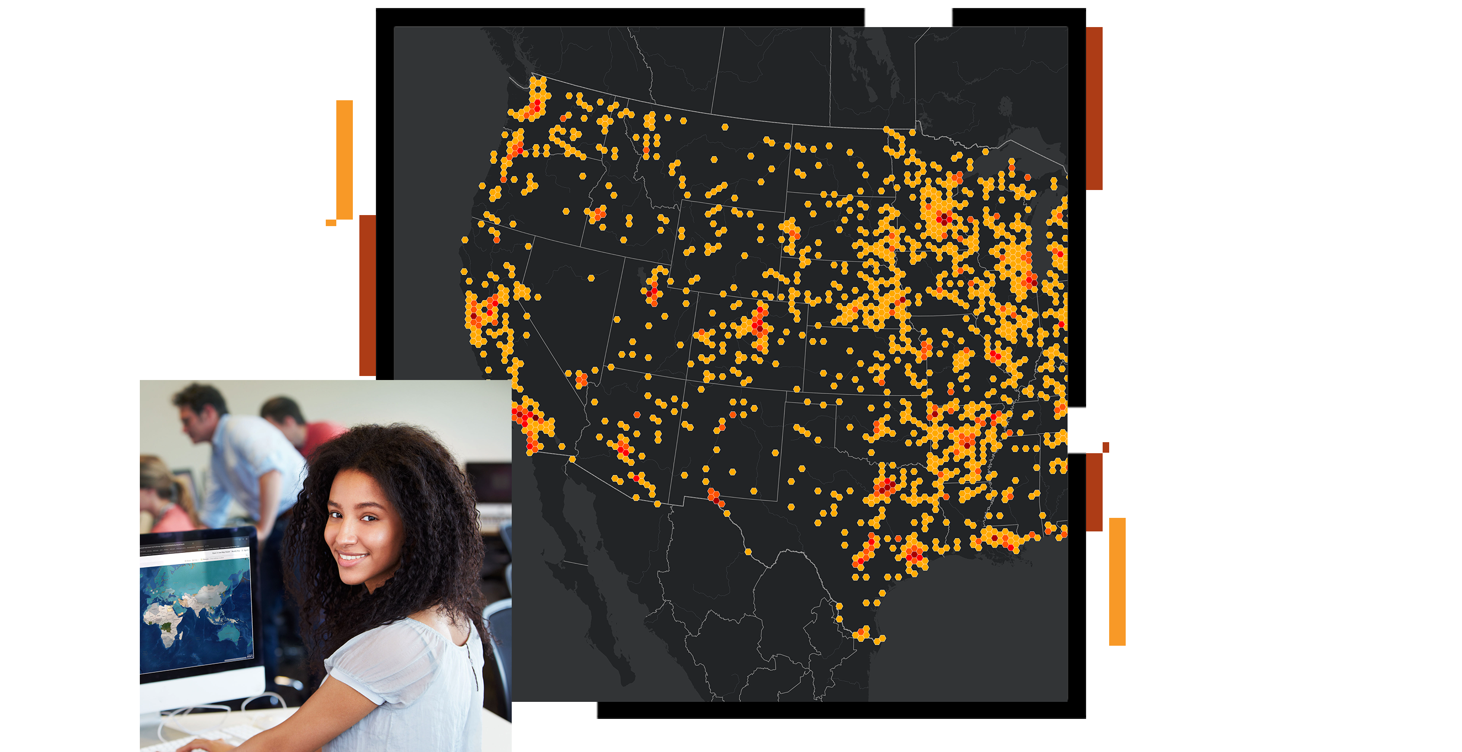
Career and Technical Education Instructors

Increase students’ job readiness by building their professional GIS skills.

A concentration map of the United States with clustered points in yellow and red on a dark gray background, and a small photo of a smiling student sitting in at a classroom computer station

Professionals in many industries use ArcGIS to integrate geographic data from drones, GPS, satellites, CAD/BIM, and other sources. Students preparing for the workforce use the same software as professionals to understand complex situations and solve problems. Build student skills for college, career, and civic engagement through a geographic approach.

What do you want to do?

Explore GIS in CTE

GIS is taught in career and technical education (CTE) as a component of many different clusters, pathways, courses, and units. Data analysis is a key skill in many fields, including agriculture and natural resources, computer science, engineering, public safety, health care, and biomedical science.

Explore GIS in CTE
Three young students sitting in a computer lab while an adult leans over them and points at one of the computer screens

Get free professional GIS software

Get free, industry-standard GIS tools to solve real-world problems. Several desktop, web, and mobile software products are included. If you are new to GIS, start with ArcGIS Online—a web-based, cross-platform tool—and then move to ArcGIS Pro, which requires Microsoft Windows.

Get free software
A map of the eastern United States with pink data bursts dispersed across the region that link to multicolored data points

Learn to use ArcGIS

Esri provides free training resources along with ArcGIS, its flagship software. From online courses to books and tutorials, CTE Instructors willl find resources to build skills—and those of students.

Find CTE training resources
Two people in an office looking at a computer screen together and smiling

Earn a CTE certificate

Prove your GIS competency by earning an industry-standard technical certification. Learners with 150 hours of GIS-focused coursework (at least a year of experience) using both ArcGIS Online and ArcGIS Pro are good candidates for the Esri GIS Fundamentals Foundation exam.

Learn about certification
A person sitting at a table using a laptop and taking notes

Find GIS-enabled careers

Explore GIS-enabled careers and learn how GIS is used in engineering, computer science, natural resource management, health, agriculture and many other areas.

Discover career videos
A person wearing glasses and standing outside holding a tablet device and looking into the distance

Student maps protect the unhoused from wildfires

High school students used web maps, GIS, and infrared tech to show high-risk fires areas where homeless populations live to help wildfire response.

Read the story

Free software for instruction

Get free, industry-standard GIS tools to solve real-world problems. Complete the form to request software for your career and technical education instruction. Several desktop, web, and mobile software products are included.

Get free software
A student wearing earbuds and a red tee shirt sitting at a classroom desk accessing a digital map on a small laptop

Stay updated

Subscribe to Esri's Career and Technical Education news. The quarterly newsletter provides information on software, instructional materials, and other relevant updates.

Contact us

Outside the United States

Connect with the Esri education team