Data convergence
ArcGIS connects IT systems to the operational state of the network and integrates external information sources with location. Furthermore, it manages data transactions and enforces the integrity of network and structural data.


Make the best use of resources
Gas operations demand the best use of resources. Spare part locations, routing of vehicles and movements to job sites can be a challenge. Lack of optimization increases Op-Ex and Cap-Ex. It lengthens restoration time and response to environmental disasters. Location is key. GIS discovers patterns, makes connections and uncovers relationships. Between material, fleet and worker utilization. ArcGIS connects routing with hazards. It optimizes service center locations to better serve the business. And reveals the best despatch for field workers.
ArcGIS connects IT systems to the operational state of the network and integrates external information sources with location. Furthermore, it manages data transactions and enforces the integrity of network and structural data.
Craft a complete operational picture and analyze field activities in the context of location. Reveal relationships between planned and unplanned work, while optimizing work plans.

Present a common operational picture and communicate changes as they occur. Enable collaborative teamwork while automating notifications to external stakeholders and systems.

White paper
ArcGIS Utility Network provides gas utilities with tools to drive operational intelligence into the future.
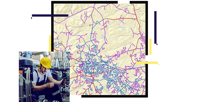
Poster
Visualize Esri's gas utility operations management capabilities.