Emergency and Disaster Management

Build resilience, respond, and recover with real-time GIS technology

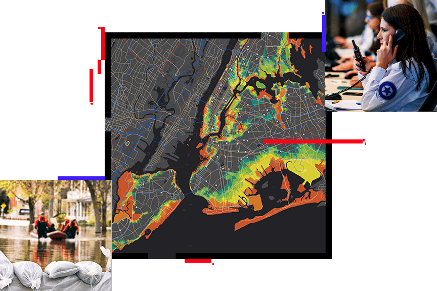
A map with highlighted hotspots, sandbags holding bag water, and a dispatcher holding a phone and a radio

Focusing efforts to mitigate the impacts and protect against the complex threats and hazards in today's modern world requires a deeper understanding of the social, economic, and environmental systems around us. Emergency managers use geographic information system (GIS) technology with data-driven insights to better prepare and help their communities respond and recover from significant events.

Previous
Next

US Coast Guard drives critical bridge response with GIS

USCG's geospatial data-driven response reopened Baltimore's port in 76 days, showcasing interagency collaboration and technology use.

Read the case study
Panorama view of a bustling modern riverside city beginning to light up for nighttime under a soft orange and blue sunset sky

GIS for Emergency Management ebook

This ebook describes how to leverage data and location intelligence for analysis, improve emergency response and recovery outcomes, and effectively utilize data to build long-term resilience.

Download the ebook
Heat map of a sprawling river system with many small tributaries snaking out from the main body of water

Esri Disaster Response Program (DRP)

Esri was founded to help solve some of the world's most difficult problems. For over 25 years, the Esri DRP has provided GIS support to our users and the global community during disasters and crises of all types and sizes.

Learn more or request assistance
A pink and purple sunset shining on the clouds and across a plain

ArcGIS software

Temporarily extend existing licenses or gain access to ArcGIS, the world's leading GIS technology, to support GIS requirements during a disaster response.

Workflow implementation

Discover modern capabilities to support disaster response. We can implement or help you configure battle-tested solutions during your response.

Geospatial data

Respond with incident-specific data—such as real-time weather, traffic, hazards, infrastructure information, and demographics—from the response community and private sector.

Technical support

Gain access to our industry-leading premium support services. A dedicated team of professionals is ready to address any question or issue related to ArcGIS technology.

Upcoming events

Stay up-to-date on trends, technology, and best practices related to GIS in public safety.

View upcoming events
View upcoming webinars
Person wearing glasses, seated at a desk, smiling and looking at a laptop screen
community-64

Emergency Management Community

View the latest GIS news, user stories, and resources for emergency management professionals. 

View news and resources
An aerial view of the South Pole from space

Contact sales

Contact us

Outside the United States

Connect with the Esri public safety team