
Most recent
FCC’s New Rules Propel Next-Generation 911 Forward:What This Means for GIS
The FCC has adopted rules that will improve emergency response through NG911. Learn how these rules will impact GIS for public safety.
Most recent
The FCC has adopted rules that will improve emergency response through NG911. Learn how these rules will impact GIS for public safety.

Esri's Address Data Management solution helps GIS professionals maintain high-quality authoritative address repositories that support NG911.
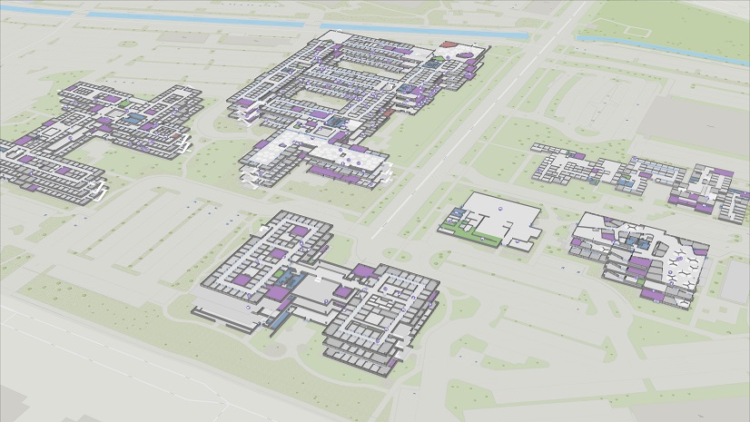
GIS-based indoor maps offer a way to protect the public with advanced capabilities that extend far beyond tactical response.

PSAPs around the world are taking advantage of the latest release from Esri scientists updating the Address Data Management solution.

Focusing on GIS in the 911 community and standardizing how data is created, collected, and disseminated nationally.

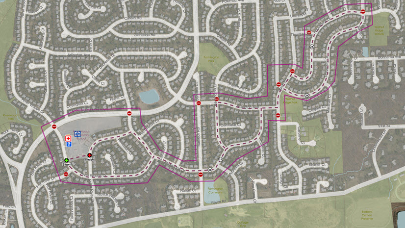
GIS solutions that help PSAPs migrate their 2D GIS data to 3D as part of the next generation emergency communications strategy.
Esri developed the Address Data Management solution for command and control centers and PSAPs to help improve dispatchable locations.

Using ArcGIS Hub for the PSAP allows you to leverage your existing data and technology while working with internal and external stakeholders.

ArcGIS Insights provides the public safety answering point (PSAP) with powerful capabilities to fuse location analytics with agency data.
This video focuses on ArcGIS Dashboards and how it can benefit the command and control center or public safety answering point (PSAP).

When Greater Salt Lake MSD decided it was time to improve its addressing functions, they turned to Esri GIS Address Data Management solution.