Are you ready to harness the power of imagery for deeper insights and enhanced decision making? In anticipation of the 2025 Imagery Summit at Esri Fed GIS, we’re taking a look back at the groundbreaking and exciting solutions presented by Esri imagery experts and users around the world at our 2024 Imagery Summit at the Esri User Conference (Esri UC). The following is a special recap of all the 2024 Imagery Summit presentations, each of which contribute to this established legacy of imagery and remote sensing, demonstrating the ways we can utilize these sophisticated tools to tackle issues of today and tomorrow.
2024 Imagery Summit Recap
A Panoramic Perspective – Keynote: Kate Fickas, PhD

In the rapidly evolving landscape of imagery data, the integration of GIS and remote sensing technologies stands as a cornerstone for informed decision-making and solutions. However, the unprecedented pace at which data and technology are advancing is leaving accessibility, understanding, and education struggling to keep up. But Esri is committed to bridging this gap by empowering a seamless integration of imagery and GIS.
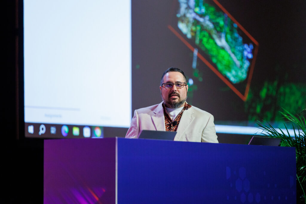
During the summit plenary kickoff, I outlined how Esri is uniquely positioned to bring these technologies together, enhancing their collective potential to solve complex problems. The focus isn’t just on making data and capabilities available, but on ensuring that they are accessible and understandable to a wide range of users, from data-driven experts to those making critical, narrative-driven decisions. By catering to this broad spectrum of users, Esri is fostering an environment where multilevel dialogue and development thrive, leading to decisions that are deeply informed by those they impact the most.
Imagery and Identity: Revealing Place and Community in Remote Sensing – Plenary: Kelly Luis, PhD, NASA Jet Propulsion Laboratory (JPL)

No one was better equipped to discuss how community and collective knowledge helps build a holistic understanding of the landscape than guest speaker Kelly Luis, a remote sensing scientist at NASA’s Jet Propulsion Laboratory. Dr. Luis, drawing from her roots as a Kānaka Maoli (Native Hawaiian) woman, emphasized the profound connection between cultural heritage and environmental stewardship. She shared how her upbringing in Hawaii, surrounded by rich traditions and a deep respect for the land, shapes her approach to remote sensing. By intertwining the cultural understanding of place—a concept that encompasses not only the physical landscape but also its spiritual and ancestral significance—with the high-tech perspectives offered by satellite imagery, Luis advocates for a more holistic view of our planet.
User Application Showcase
At Esri, one of our core values is to serve and celebrate our user communities, spotlighting the impactful work they are doing around the world. At the 2024 Imagery Summit, we featured five user stories that represented four different sectors: state and local government, federal government, commercial, and international. Below are short summaries of the powerful cross-sector user stories that we featured at the summit.

Alaska Department of Transportation and Public Facilities
With ArcGIS, the Alaska Department of Transportation and Public Facilities has taken the integration of GIS and remote sensing and built a robust system to enable the planning, collecting, and processing of drone imagery for the nearly 700,000 square miles of land they oversee. This allows them to monitor conditions and respond to disaster scenarios quicker.
Tennessee Valley Authority
The Tennessee Valley Authority designed a robust imagery management system with their historic imagery archive comprising 400,000 analog maps, charts, and indexes, plus 1 million frames of film. With terabytes of data scanned, stored, and accessible to all, agencies can use these images for a breadth of applications, such as environmental impact studies and managing natural resources.
United States Forest Service
The United States Forest Service, an agency within the United States Department of Agriculture (USDA), has created an Interdepartmental Imagery Publication Platform (IIPP) using the infrastructure of ArcGIS software’s total imagery management system. With the goal of a collaborative effort among different US federal government agencies to create a shared imagery hosting system, IIPP combined resources, expertise, and operational datasets to reduce costs, eliminate duplication, and maximize imagery and GIS data availability to users across agencies.
Brasfield and Gorrie
The construction company Brasfield and Gorrie deploys a robust drone program with Site Scan for ArcGIS to monitor their commercial construction projects in near real time by collecting imagery of work sites and processing it in ArcGIS securely and efficiently. This system has allowed the company to monitor active projects almost instantaneously, enhancing accuracy, saving labor costs, and providing stakeholders with new levels of confidence.
Digital Earth Africa
Mpho Sadiki of Digital Earth Africa (DEA) showed how Esri’s partnership with DEA has improved access to geospatial data across Africa, enabling sustainable development initiatives. Through collaboration, DEA can utilize Esri’s ArcGIS platform to analyze satellite imagery and remotely sensed data for a wide variety of applications, including agriculture, water resource management, and urban planning.
Partner Showcase: SkyWatch
With hundreds of commercial satellites launched recently and the accompanying imagery data beamed down to Earth, how do you access and integrate it into GIS workflows? At the 2024 Imagery Summit, Esri partner SkyWatch helped address this gap by previewing the launch of Content Store for ArcGIS, which allows users to discover, purchase, use, and soon task imagery data within Esri’s ArcGIS Online platform. Now you can easily go from space to screen, and the sky is no longer the limit!
Imagery and Remote Sensing Tools Experience: Navigating the Frontier of Geospatial Innovation
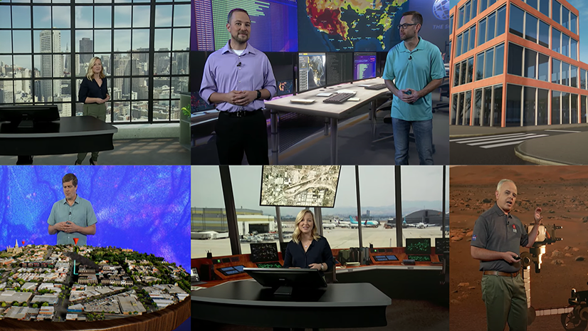
The Imagery and Remote Sensing Tools Experience at the 2024 Imagery Summit provided a glimpse into the future of geospatial technology, where innovation meets practical application. This showcase featured updates and overviews of the capabilities of ArcGIS Living Atlas of the World, imagery management, and digital twins.

The ArcGIS Living Atlas of the World presentation highlighted prebuilt GeoAI models, marking a significant leap forward in imagery analysis. These models, trained on vast datasets, enable users to perform complex analyses with unprecedented speed and accuracy. The ability to integrate AI-driven insights directly into GIS workflows is not just a technological advancement; it’s a paradigm shift in how we approach problem-solving in areas as diverse as environmental monitoring, urban planning, and disaster response.
The imagery management presentation tackled the critical challenge of imagery data management—a task that grows increasingly complex as the volume and diversity of data continues to expand. The ability to store, access, and share imagery data seamlessly across an organization is no longer a luxury; it’s a necessity. This is where Esri’s tools shine, offering solutions that streamline the entire data life cycle. From capturing high-resolution satellite imagery to integrating drone data into centralized repositories, these tools ensure that imagery remains accessible, accurate, and actionable.
The digital twin presentation revealed how 3D data allows us to transform static maps into dynamic, living models that evolve with the environment, providing a powerful tool for decision-makers. Digital twins offer a virtual representation of the physical world, enabling real-time monitoring and predictive analysis. In the context of urban environments or large-scale infrastructure projects, digital twins allow for a level of precision and foresight that was previously unimaginable. The implications are profound: from predicting traffic patterns and optimizing resource use to planning for climate resilience, digital twins are set to become indispensable in managing the complexities of modern cities.
Outro: The Integration of Imagery and Remote Sensing with GIS
The 2024 Imagery Summit at Esri UC showcased the extraordinary potential of integrating GIS with imagery and remote sensing technologies, highlighting real-world applications across various sectors. From managing vast landscapes to creating digital twins, the advancements and insights shared during the summit reaffirmed the crucial role imagery plays in solving complex challenges. Reflecting on these solutions, it’s clear that the future of imagery is both dynamic and promising, with ArcGIS capabilities at the forefront, driving innovation with reliability. For those looking to continue this journey, our upcoming Imagery Summit at the Esri Federal GIS Conference in February 2025 will dive even deeper into the innovations shaping this field. We hope to see you there!


