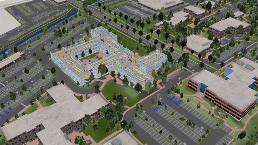
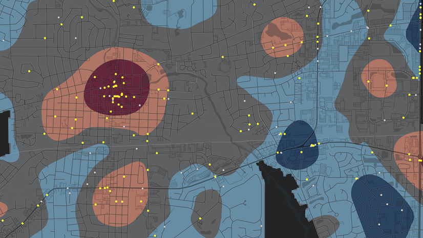
Public servants and private thought leaders have been espousing a nationwide geographic information system (GIS) standard for public safety since the Next Generation 911 (NG911) movement began. In the Public Safety Answering Point (PSAP) community (Command and Control), a GIS creates, manages, analyzes, and maps all types of data. GIS connects data to a map, integrating location data (where things are) with all types of descriptive information (what things are like there). This provides a foundation for mapping and analysis that is used in 911 centers across the country and around the world. More important for this discussion, it is a science that is very specific to providing 911 best-in-class GIS capabilities to PSAPs.

As the nation’s 911 system migrates from existing, legacy systems to Next Generation 911, all calls will be routed to the appropriate 911 call center, based on the geographic location of the caller. The exact location of the caller needs to be automatically provided as part of the call for service, and routing solutions need to accurately and expeditiously find the right PSAP.
Trade organizations like NENA, the National Emergency Number Association, are leading the way in this effort with solutions like the Enhanced PSAP Registry and Census (EPRC) service. The EPRC relies on Esri technology to provide a GIS-forward interface that simplifies the user experience. The registry is available at no cost to PSAPs, and private industry can work out use agreements directly with NENA.
Now, safety leaders of the National 911 Program, a division of the National Highway Traffic Safety Administration (NHTSA), are working to solve another significant challenge by standardizing how GIS data is created, collected, and disseminated nationally. NHTSA released the GIS standardization tender recently and will soon award the most comprehensive plan that helps it achieve the following tasks:
- Improve coordination and communication among federal, state, and local emergency communication systems, emergency personnel, public safety organizations, telecommunications carriers, and telecommunications equipment manufacturers and vendors.
- Develop, collect, and disseminate information and resources concerning best practices, procedures, and technology used in the implementation and operation of 911 services.
- Administer a grant program specifically for the benefit of 911 Public Safety Answering Points.

Esri has provided thought-leadership to the NHTSA; FCC; and trade organizations like NENA, APCO, and EENA for many years, helping create the vision. We’re honored to participate with the impressive thought leaders from around the world as we jointly work to make our planet safer. We are uniquely positioned to partner with all the stakeholders to make this nationwide system successful. In fact, Esri’s influence across the United States is profound. All 50 US state governments and most populous cities are already using Esri technology for mapping and analysis. Esri commits more than 30 percent of our annual revenue to research and development, and our maps are viewed billions of times each day.
We congratulate Office of Emergency Medical Services 911 coordinator Laurie Flaherty on getting the GIS standards tender out and wish her the very best as she approaches her retirement date. Her dedicated efforts and this new direction will prove to be part of the great legacy she will leave behind, something that will undoubtedly result in saving lives.
You can learn more about Esri’s focus on GIS in the 911 community by visiting Esri.com/911 or by emailing Mike King, director of emergency communications solutions at Esri, at mking@esri.com.


