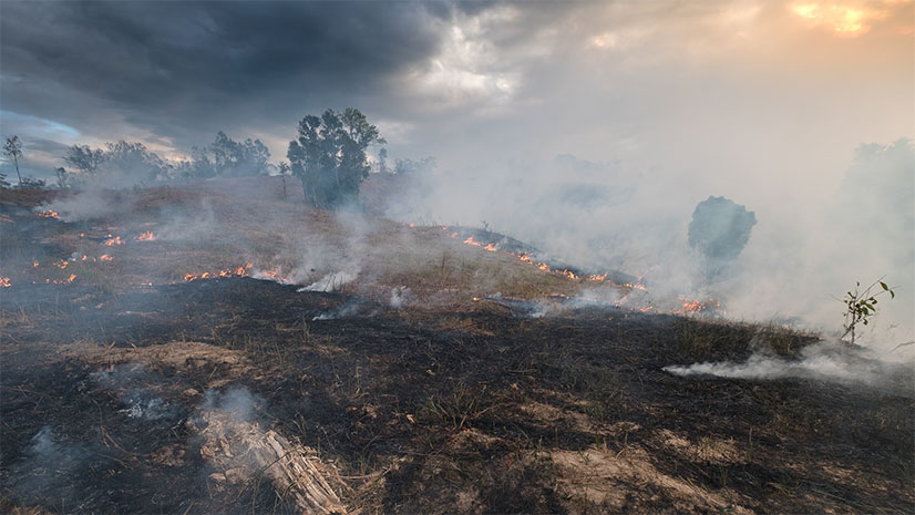
In the wake of devastating wildfires, the need for effective evacuation planning has never been more urgent. Traditional processes, often reactive and improvised, have struggled to keep pace with the dynamic nature of wildfires, where conditions can change in minutes, leaving lives and properties at risk. The stakes are monumental, and the challenges are vast, from limited real-time communication to difficulties defining evacuation zones on the fly. This calls for a shift towards a more nuanced, zone-based approach, leveraging the latest technologies to revolutionize evacuation planning and execution.

Addressing Current Shortcomings
One significant hurdle in current evacuation practices is the inability to provide live updates to at-risk populations. The reliance on legacy mass-notification systems, which many do not opt into, coupled with fragmented social media sources, results in a communication lag that can have dire consequences. Moreover, the unpredictability of wildland fires, with their rapid changes because of terrain and wind patterns, exacerbates the challenge of managing shelter operations and evacuation route traffic control effectively.
The traditional “megaphone” approach, where a uniform message is broadcasted to everyone regardless of localized risk, often leads to over-notification, unnecessary concern, and bottlenecking of evacuation routes. Evacuation orders that are repeated, especially if they are perceived as overreactions, can lead to apathy toward future evacuation recommendations. This false alarm scenario is dangerous, as it often leads to residents ignoring critical evacuation orders in actual high-risk situations.
A More Effective Approach
These issues call for a more nuanced, zone-based approach to evacuation planning and execution in wildland fires.
- Intelligent Evacuation Zones: Using pre-built intelligent evacuation zones that aggregate population counts, structure data, and hyperlocal information is critical to making fast and accurate decisions when under pressure.
- Training and Scenario Planning: Utilizing advanced predictive modeling and real-time data analysis helps agencies prepare staff and build plans that can be quickly executed during an incident.
- Personalized Communication: Tailoring evacuation messages to high-risk areas and nonstandard communication channels ensures residents receive relevant and timely information where and when needed.
- Community Engagement and Education: Regular community engagement and education programs can help build trust and understanding of the evacuation processes, reducing apathy.
- Continuous Improvement: Incorporating post-event and post-training analysis and feedback into evacuation planning enhances the effectiveness of future responses.
The GIS Revolution in Evacuation Planning
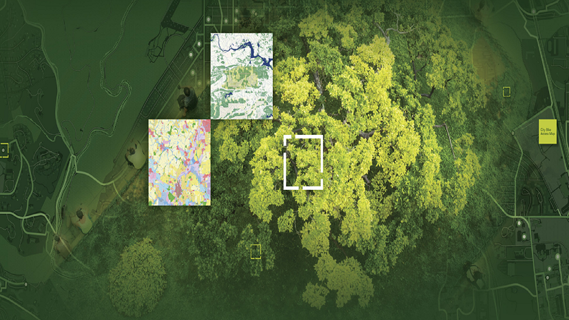
Preparedness is key in a world where the unexpected has become the norm. Our recent webinar, “Revolutionizing Evacuation Planning,” co-hosted with emergency management platform Genasys, tackled this theme and highlighted the path forward for emergency response teams and public safety officials. Learn how to integrate GIS into your emergency management workflows from agencies like the Siskiyou County Office of Emergency Services and the Montrose County Emergency Telephone Service Authority. Their stories highlight the pivotal role of GIS in enhancing evacuation planning and execution. From detailed pre-planning evacuation zones to real-time information sharing that helps in rerouting evacuees during emergencies, the webinar showcased the power of GIS technology in creating dynamic, accurate, and efficient emergency response strategies.
The session provided a glimpse into the future of emergency management, emphasizing collaboration across different agencies and jurisdictions enabled by GIS technology. Such collaboration ensures seamless information sharing, guaranteeing that all parties involved have real-time access to the same data—a crucial factor for managing large-scale evacuations. Use the power of GIS to create a comprehensive, evolving, common operating picture that enables emergency responders and the public to make informed decisions swiftly.
Whether you’re a seasoned emergency response professional or just beginning to explore the capabilities of GIS in public safety, this webinar recording offers invaluable insights. It’s a must-watch for anyone interested in leveraging technology to safeguard communities against the ever-changing threats of natural disasters and other emergencies. Discover how you can transform your evacuation workflows, enhance public safety, and foster a more resilient future for your community. The future of emergency response is here, and it’s powered by GIS.
View the webinar
Watch the recording today to unlock the potential of GIS for your emergency response efforts.
Additional Information
Get Esri’s latest ebook on leveraging GIS for wildland fire management

