About Esri
Get to know the innovative software company behind ArcGIS


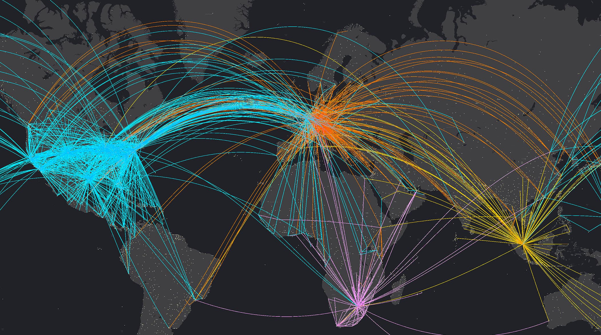
Leaders are using geospatial technology enriched with AI to accelerate automation, prediction, and optimization.
Leading organizations in virtually every field use Esri technology to support daily operations and guide long-term strategies. Explore stories of organizations innovating with ArcGIS.
Government
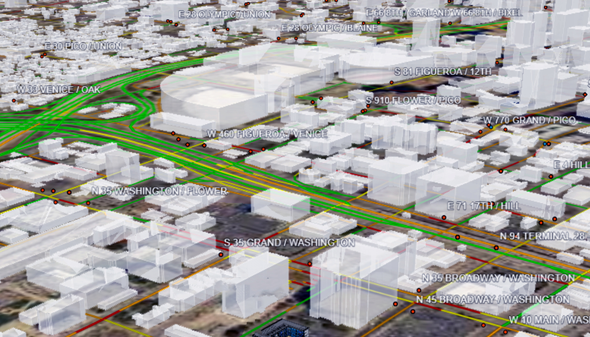
Southern California Association of Governments uses Esri’s GIS mapping software as the foundation for essential data sharing and collaboration. The geospatial technology streamlines and connects information across six counties, 119 cities, and 19 million people to facilitate better planning at all levels.

Product releases, upcoming events, partnerships, and more from Esri