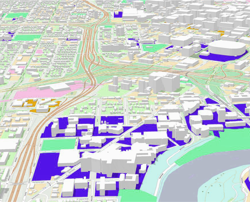
Enhance understanding and collaboration with 3D visualization
ArcGIS empowers you to explore your spatial data in 3D with clarity and speed. With support for open standards—such as 3D tiles and Indexed 3D Scene Layers (I3S)—create dynamic, high-performing visualizations for more effective communication from the office to the field.
Improve data understanding
Move beyond 2D to gain deeper insights with dynamic perspectives, optimized for real-time applications and detailed analysis.
Realistic simulation and planning
Simulate real-world scenarios, optimize resource allocation, and minimize risks. Use 3D models and terrain data to assess project impact.
Enhanced communication and collaboration
Facilitate effective communication and collaboration by presenting data in a visually compelling and interactive manner to support shared goals.