3D Immersive Experiences

Explore spatial relationships from new perspectives

Find the right solution
3D aerial view of city and water port, with gradient blue to red tall buildings and white translucent square overlayed

Analyze and explore spatial data through interactive experiences

Increase engagement and interaction with advanced 3D capabilities and seamless game engine integrations. ArcGIS supports 3D and XR experiences that allow users to explore and analyze spatial relationships in an intuitive way across a variety of devices, dashboards, and applications.

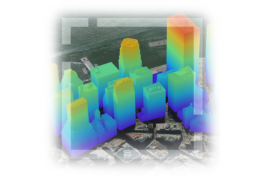
Immersive exploration and analysis

ArcGIS offers advanced 3D capabilities and seamless integrations allowing users to engage with data in virtual or augmented reality environments.

Seamless interactions

Access and interact with 3D content across devices. Easily transition between mapping tools and immersive experiences, all in one platform.

Simulate scenarios and analyze impacts

ArcGIS enables users to visualize scenarios, identify risk, and understand spatial impacts, leading to effective planning and development.

3D model of downtown in a large city with the ground all blue and realistically colored 3D buildings
Women with short brown hair wearing a white t-shirt and large white XR goggles over her eyes

Immerse, engage, and interact

ArcGIS is compatible with industry-leading technology for virtual and augmented realities—both standalone and tethered.

Explore, analyze, and interact effortlessly with XR

Enhance workflows through immersive experiences with real-time visualization and the analysis of geospatial data to aid in decision-making, navigation, asset management, and training.

Site assessment and planning

Conduct site assessments or plan field operations and allow virtual exploration of the site in a realistic 3D representation. Identify potential challenges, visualize infrastructure, and make informed decisions about the best approach for the task at hand.

GIF zooming in on a 3D model of Boston sitting on a round table in XR

Navigation and wayfinding

Assist in the navigation of complex environments. Visualize terrain, buildings, and other spatial features in 3D to better understand surroundings and plan efficient routes for emergency response or utility maintenance.

: View of cars driving down a road lined with stores, with virtual renderings of storm pipes and their numerical measurements

Asset management and inspection

Visualize and assess assets in a realistic 3D environment. Identify maintenance needs, evaluate asset conditions, and plan repair or replacement activities.

Hands holding an iPad outdoors that shows a construction site to visualize the spatial context

Field data collection

Visualize and analyze geospatial data directly in the field. By working in a 3D environment, you can better understand the spatial context of the data being collected, which improves data quality and accuracy.

Virtual representation of scanning a building model and seeing a 3D representation formed in XR

Training and simulation

Train staff in various scenarios. Create virtual simulations of field operations and practice and familiarize yourself with different tasks and environments to improve safety, efficiency, and preparedness.

Virtual representation of a base in the desert with 3D gray and beige buildings, a helicopter, and a purple line

Empowering organizations with 3D visualization capabilities

ArcGIS provides powerful visualization tools to gain enhanced comprehension, make informed decisions, analyze spatial relationships accurately, and monitor changes over time. This can help improve communication and collaboration for more effective decision-making processes.

Previous
Next

How to interact with immersive experiences

Explore and analyze spatial relationships in an intuitive way across devices, applications, and game engine integrations.

Previous
Next

Contact sales

Need help finding the right solution? Schedule a conversation with one of our experienced sales consultants.

Contact us

Outside the United States