Get started with ArcGIS Excalibur
Learn how to search and view imagery, create and modify projects, analyze and collect information, and share results.

Helping you understand and create imagery reports over the web
Experience what’s possible with ArcGIS Excalibur through curated series of tutorials.
Learn how to search and view imagery, create and modify projects, analyze and collect information, and share results.
Read articles from the ArcGIS Excalibur team. Connect to ask questions and learn more.
Discover recently added capabilities.
Sign up for news about events, announcements, and best practices for ArcGIS Excalibur and related products.
Find answers and information so that you can complete your projects.
Change detection in ArcGIS Excalibur

Perform video analysis on the web

Providing greater access to imagery with WMS
Find answers and information so you can complete your projects.
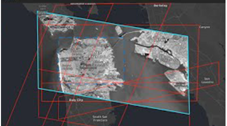
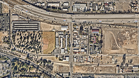
Search and Discover Imagery

Exploit and Analyze Imagery
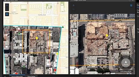
Working with Imagery Projects
Exchange ideas, solve problems, and build relationships with the ArcGIS Excalibur community.
Do you have an idea to improve ArcGIS Excalibur? Many of our capabilities started as suggestions from our users.
Get inspired by user projects, keep up on product news, and be among the first to learn about updates.
Access samples and scripts from Esri and the community.
After purchasing ArcGIS Excalibur, use these resources to lead you through set up and configuration.
Start a conversation online.
Get an email response.
Speak with a representative.