
Inclusive design
We incorporate inclusive design principles throughout the creation of Esri core software, website, and design systems. Our ongoing mission is reflected in the usability of our products and solutions.


Esri is a pioneer in mapping and spatial analytics software, and we understand our responsibility to uphold our values toward inclusivity, diversity, and equality throughout the company and ArcGIS system. We believe there should be no barriers to what users can achieve with our software. We are committed to creating accessible products and services compatible with the latest assistive technologies that conform to current software accessibility standards and guidelines.
We incorporate inclusive design principles throughout the creation of Esri core software, website, and design systems. Our ongoing mission is reflected in the usability of our products and solutions.

Esri annual conferences showcase accessibility topics via technical sessions, special interest group meetings, and product demonstrations, all now in a fully virtual format. Be sure to check our future conference and event schedules for accessibility topics.

We focus on providing in-person and virtual accessibility training opportunities and materials, best practices, and additional resources to Esri staff. We also engage industry accessibility professionals for further training, education, and R&D efforts.

Our core product development teams conduct accessibility testing events and are provided with testing tools, resources and materials, and internal support from accessibility subject matter experts (SMEs) throughout the company.

Esri creates robust data visualization tools and powerful authoring engines for cloud, desktop, and mobile environments. We strive to improve our products with various research efforts and innovate in this exciting intersection of GIS, mapping, and accessibility.

We are continually interested in learning from the people who use our technology and want to understand how Esri is meeting accessibility needs in our products and services. To connect, please reach out to us through the contact form at the bottom of this page.

Esri is an advocate for diversity, equity, inclusion, and social justice—in addition to being champions of accessibility. We enthusiastically welcome a diverse and growing team of talented individuals and increasingly include accessibility qualifications and requirements in our career paths at Esri.

In addition to our standard technical support channels, users can contact us via email at esriaccessibility@esri.com with questions or comments about any of our product accessibility features or levels of conformance to specific accessibility guidelines.
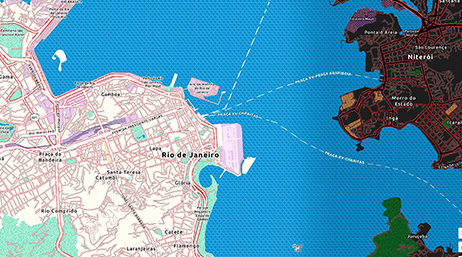
Working with Enhanced Contrast basemaps
ArcGIS Living Atlas of the World
Getting started with accessible storytelling
ArcGIS StoryMaps

Designing for Accessibility
ArcGIS Hub

Build accessible web apps
ArcGIS Maps SDK for JavaScript

Find information and additional support for all of Esri's leading mapping and spatial analytic software and applications
Esri ArcGIS products are designed to deliver location intelligence and meet digital transformation needs for organizations of all sizes. Explore Esri software, apps, content, solutions, and developer tools.
Connect people, locations, and data using interactive maps with ArcGIS Online. Work with smart, data-driven styles and intuitive analysis tools that deliver location intelligence. Share your insights with the world or specific groups.
This powerful single desktop GIS application is feature-packed software developed with enhancements and ideas from the ArcGIS Pro user community. ArcGIS Pro supports data visualization; advanced analysis; and authoritative data maintenance in 2D, 3D, and 4D.
ArcGIS Enterprise is the complete system for all your geospatial needs. Get the tools to make maps, analyze data, solve problems, and share geospatial data.
Statement of Esri's commitment to accessibility for our US and international customers
A complete mapping and analytics platform for developers
Check in on the latest ArcGIS topics and trends for accessibility in mapping and GIS
Please share your information to submit questions or comments related to disability, digital accessibility, or assistive technologies with ArcGIS products. We look forward to communicating with you.