Esri and Autodesk

Strategic Alliance

Unifying GIS and BIM to transform workflows and build a better future

Coming soon

Esri’s ArcGIS and Autodesk Forma deepen integration

Design with location in mind

With authoritative geographic data from Esri’s ArcGIS in Autodesk Forma you will be able to:

  • Bring spatial context earlier in the design process.
  • Better support architecture and design communities.
  • Add contextual geographic data for buildings, zoning, roads, property boundaries, imagery and more.

Get notified about the release

Enrich design and build projects with real-world context

GIS and BIM integration

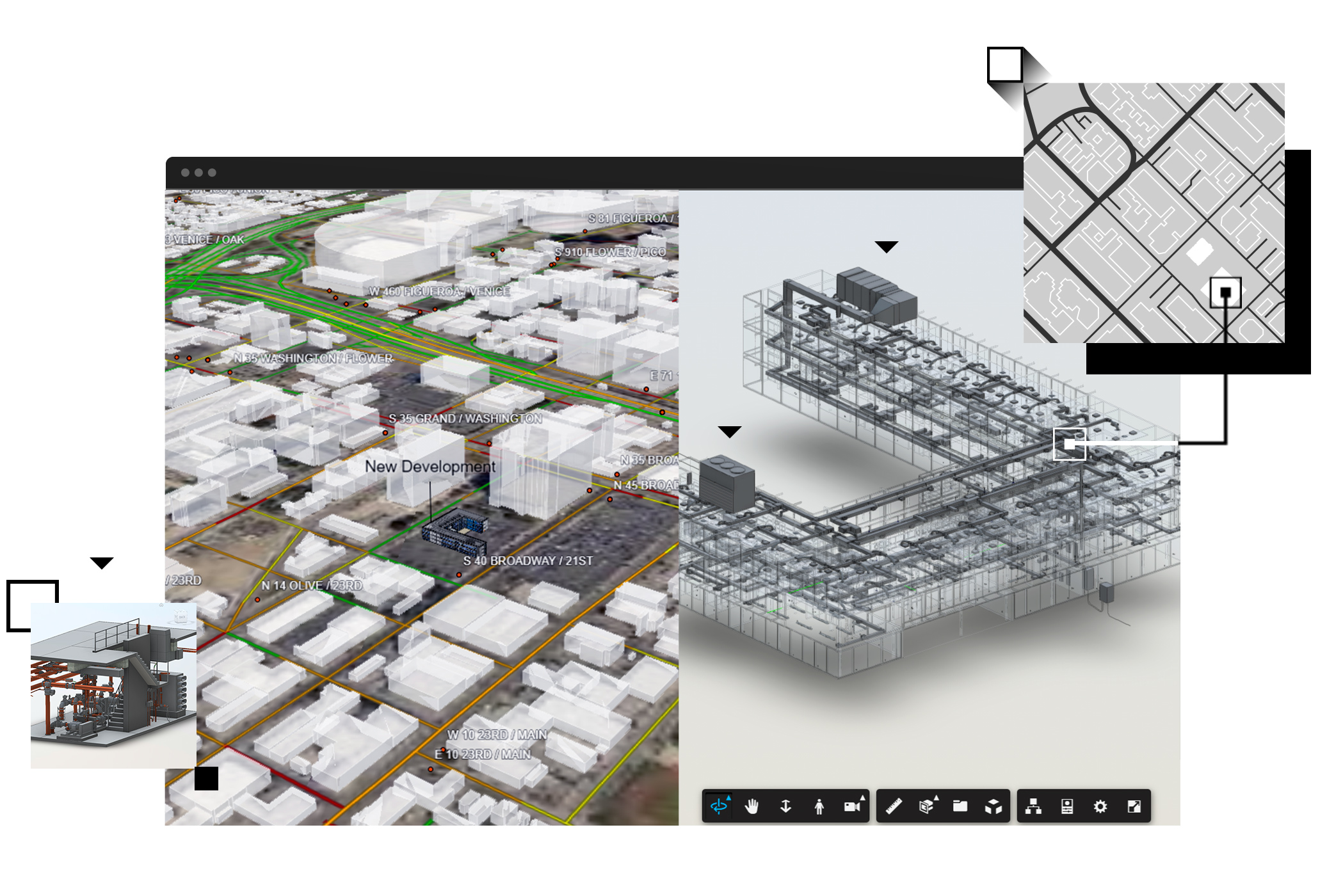
Esri has partnered with Autodesk, a global leader in design and engineering software, to unite two powerful technologies: geographic information system (GIS) technology and BIM.

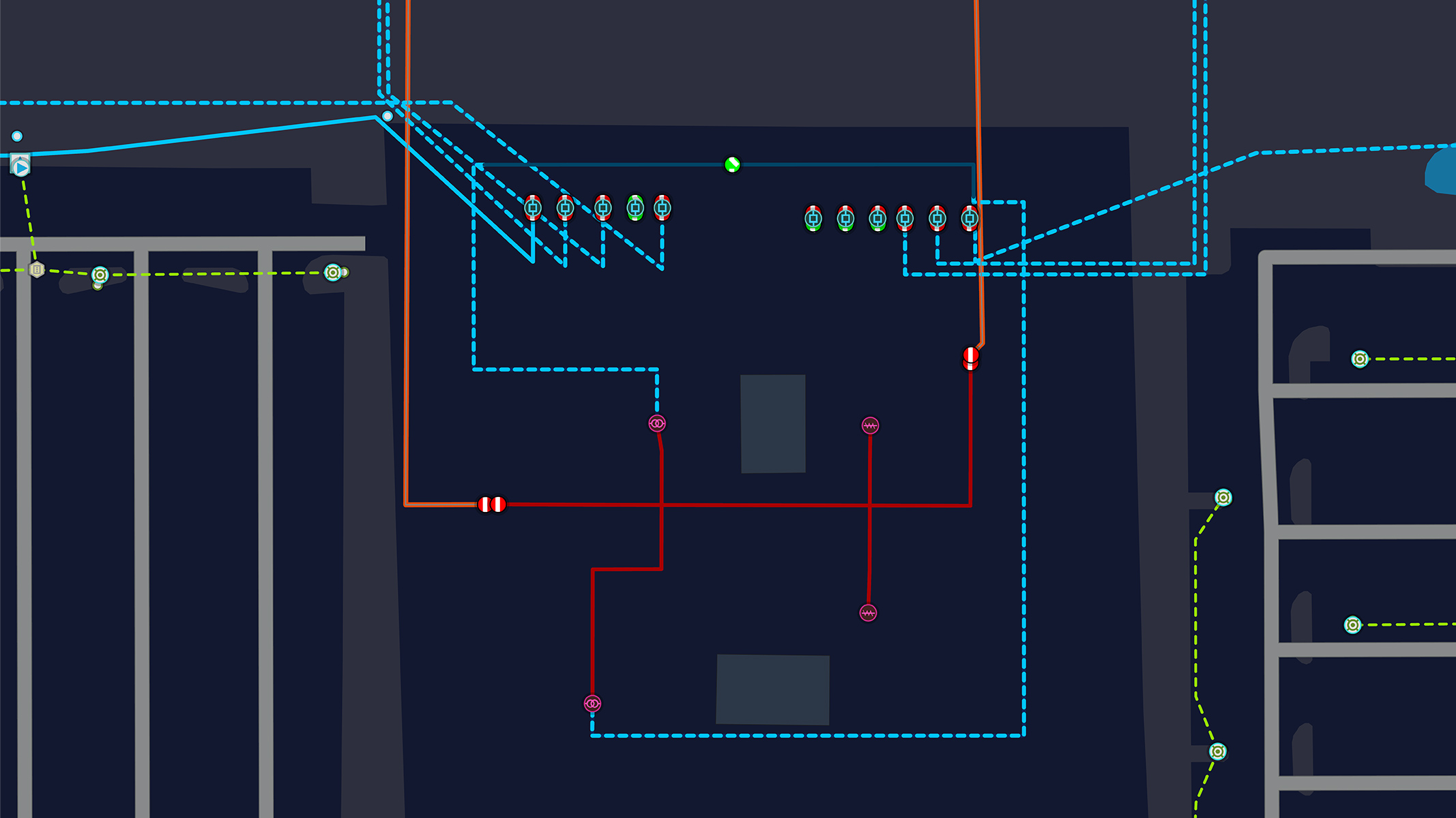
Esri’s leading GIS platform, ArcGIS, puts BIM assets in the context of geography, transforming project design, delivery, and management across the AEC, water, transportation, and utility industries. 

Bring spatial data into your designs

Connect natural and built environments and add demographics to create a holistic and dynamic view of your project.

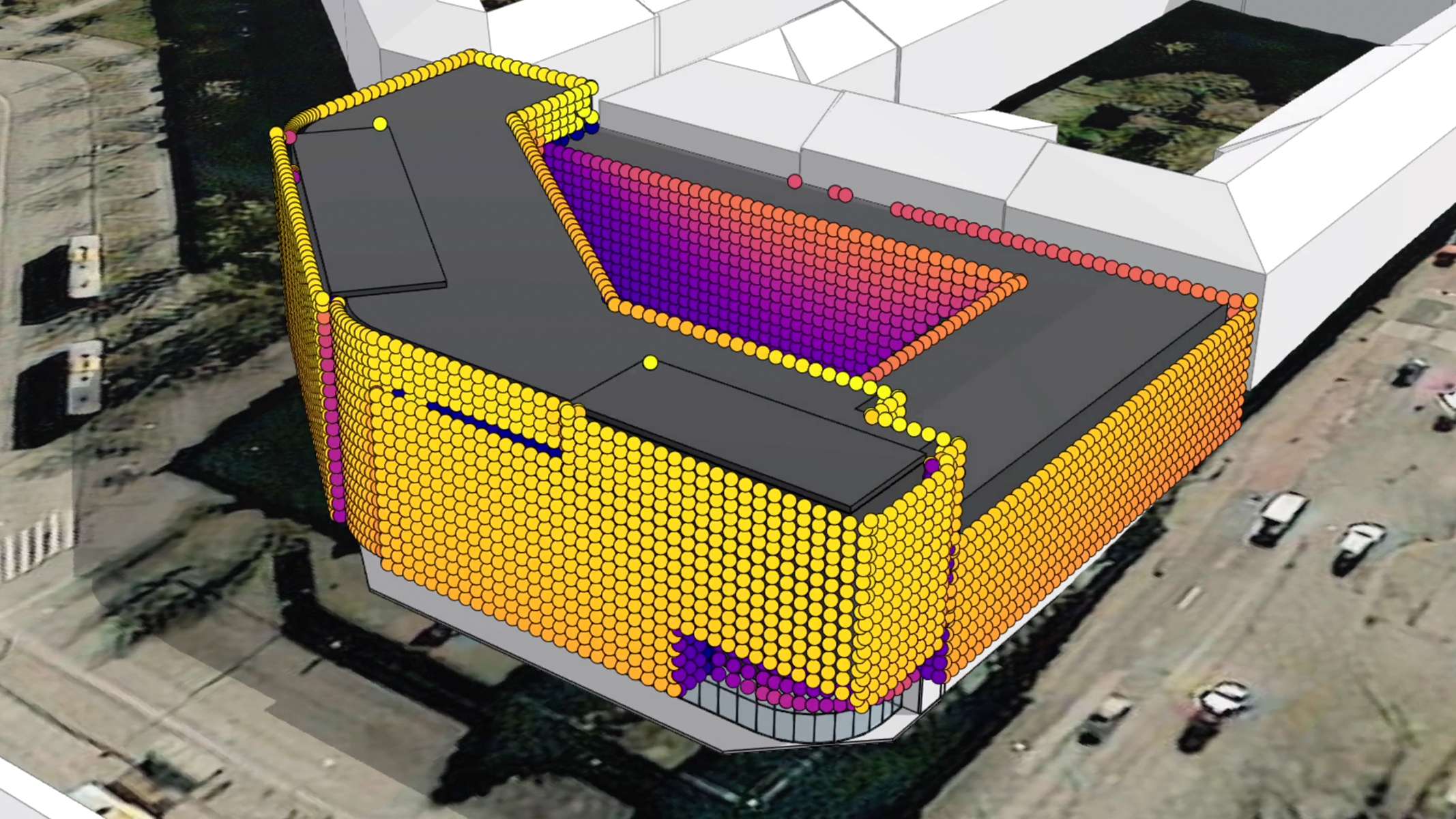
Evaluate outcomes before breaking ground

Test and model designs to understand impacts on people and places without real-world risk.

Increase project resiliency and sustainability

Track and manage assets, resources, and materials to reduce waste, cost, and environmental impact.

Get started with BIM and CAD in ArcGIS

Rich visualizations enhance understanding

Viewing above and belowground infrastructure with smart maps and digital models provides an intuitive way to understand projects, such as the Grand Paris Express, throughout its life cycle.

What firms are saying about Esri and Autodesk

GIS & BIM Integration for Sustainable AEC Industry Practices

An Esri and Autodesk ebook

Learn how projects at Los Angeles International Airport, Norwegian Railway, Milwaukee Metropolitan Sewerage District, and more integrated GIS and BIM across project life cycles to:

  • Improve data accuracy and collaboration
  • Speed up plan approvals and permitting
  • Reduce material usage and construction costs

Download the ebook

Explore the geography-driven power of ArcGIS

ArcGIS equips design and build professionals with world-leading tools for creating, managing, analyzing, mapping, and sharing data. Discover a few ways it can transform your workflows.

Previous
Next

Contact sales

Speak with a representative.

1-800-447-9778

7:00 a.m.–5:00 p.m., Monday through Friday (PT)

Chat now

Start a conversation online.

Send a message

Get an email response.