What is StreetMap Premium?
ArcGIS StreetMap Premium provides geocoding, routing, and map display capabilities for use in your own infrastructure or for disconnected use. It is optimized and structured to ensure easy integration with ArcGIS Pro, ArcGIS Enterprise, and ArcGIS Runtime apps.

Benefits of Using StreetMap Premium
StreetMap Premium is ready-to-use upon installation. It has worldwide coverage using authoritative data sources, so you know you’re getting a high quality data set.
Once you have installed the locators, network, or maps in ArcGIS Pro, ArcGIS Enterprise, or ArcGIS Runtime apps, you have immediate access to these capabilities. No additional data processing needs to be done by you. If you have ever spent a lot of time processing, updating, and managing data, you’ll understand the value of having data already prepared for you.
Different Versions of StreetMap Premium for Different Needs

ArcGIS StreetMap Premium comes in different formats to meet different business needs:
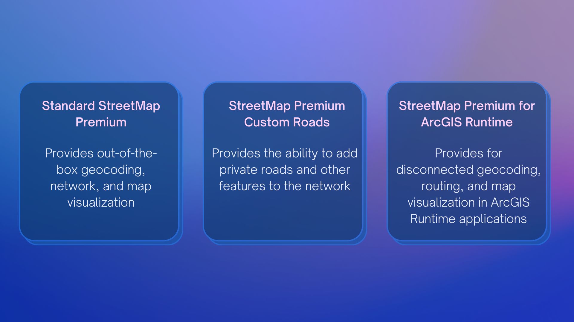
- Standard StreetMap Premium provides out-of-the box geocoding, routing, and map display capabilities.
- Custom Roads allows you to add your own street data to the network for a single continuous routable transportation network. The most common use case is to add your own roads and create mobile map packages for use in ArcGIS Navigator or ArcGIS Runtime applications.
- StreetMap Premium for ArcGIS Runtime allows you to work in a disconnected or offline environment. Mobile map packages provide geocoding, routing, and map visualization in runtime applications.
Summary
ArcGIS StreetMap Premium provides enriched street data for use in ArcGIS software to deliver high-quality and multiscale cartographic map display, accurate geocoding, optimized routing, and network analysis. It is an out-of-the-box solution designed specifically to be used with ArcGIS Enterprise, ArcGIS Pro, and ArcGIS Runtime. It can be deployed rapidly on-premises behind your firewall without the need for any data preparation and allows you to geocode or route when you need to:
- Work disconnected, on-premises, or on managed infrastructure
- Have unlimited use for fixed annual fee vs ArcGIS Online credit usage
- Meet security and compliance mandates
- Have more control and configuration options than available online
- Add private roads to the network
Visit here to get more details about ArcGIS StreetMap Premium.


Article Discussion: