Like many people who are geographers or have a fascination with place, I’ve always found it interesting to think about how almost any location has layers of meaning. Landscapes carry clues to their ancient, physical and natural history, and to a more recent but often very complex human history. Landscapes also carry meaning to those who inhabit them or have spent time in them. The experiences we’ve had within a landscape have a profound impact on how we perceive of a place and the emotional response a place elicits. To one person, a street corner might evoke happy memories of encounters with friends; to another it might recall the horror of a car crash.
As founder of the Story Maps team, I’m excited about how the marriage of maps and storytelling enabled by our apps has served a myriad of relatively workmanlike purposes. But I’ve been eager to see our apps used to explore some of these deeper and more subjective ideas of space and place.

For close to a decade, thanks to the generosity of my mother and father, our extended family gathered for a week or so every summer at a country inn in Vermont’s Northeast Kingdom. The death of my father last October, at age 100 years and nine months, brought back memories of those gatherings. Meanwhile, a random web search led to the discovery of a lengthy application proposing that the “Darling Hill Historic District” be added to the National Register of Historic Places. The proposed district encompasses our inn and a stretch of road that we walked many times during our reunions.
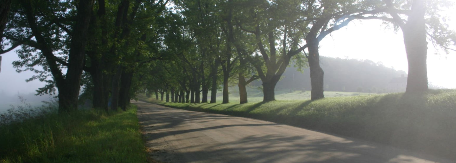
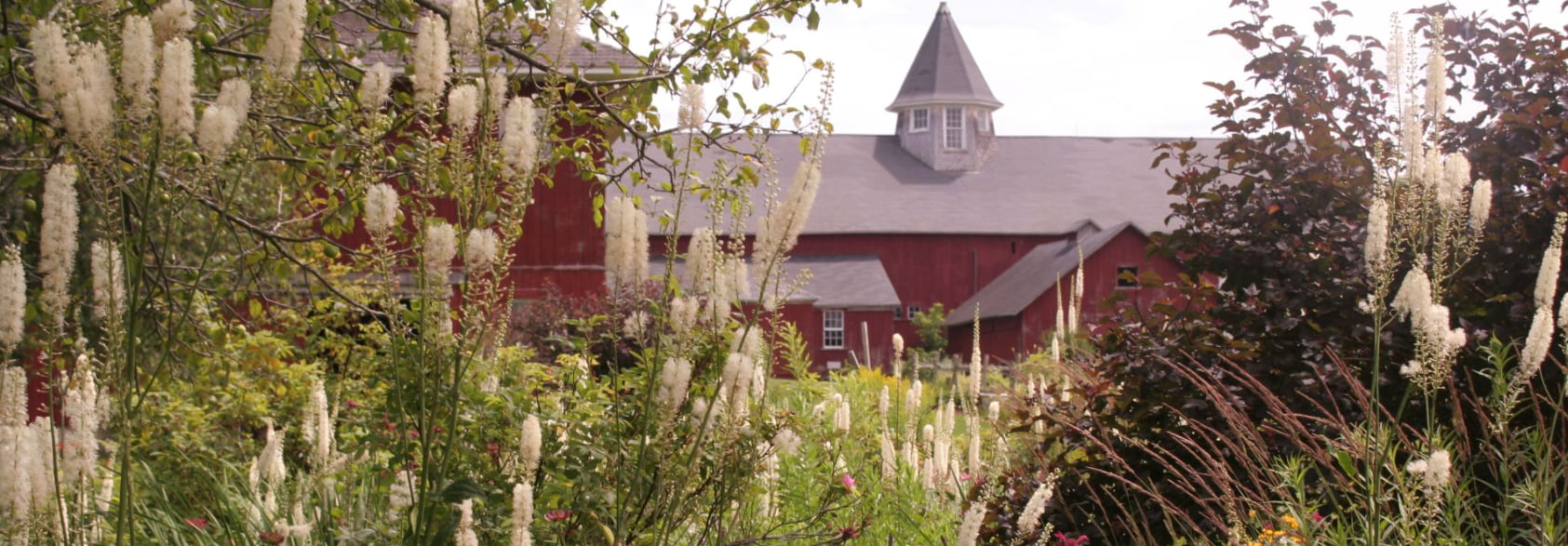
I had taken hundreds of photographs during our visits, and not surprisingly, the area is highly photogenic. So I thought it would be interesting to use my photo archives, information from the Historic Register application, ArcGIS Online’s mapping capabilities, and our storytelling tools to explore the human history of this special place, including our family memories. I wanted to honor my parents, but also to experiment with how to weave a couple of narratives into an exploration of the meaning of place. The result is Darling Hill Road: Walking Through Memory and History in Vermont’s Northeast Kingdom.

After culling my favorites from among two or three thousand images, I began to assemble the story with a loose structure in mind:
- An introduction that sets the context with a brief description of our annual reunions;
- A summary of Elmer Darling’s multi-year project to establish and expand a “gentleman’s farm” on Darling Hill;
- A virtual walk up Darling Hill Road; and
- A brief conclusion.
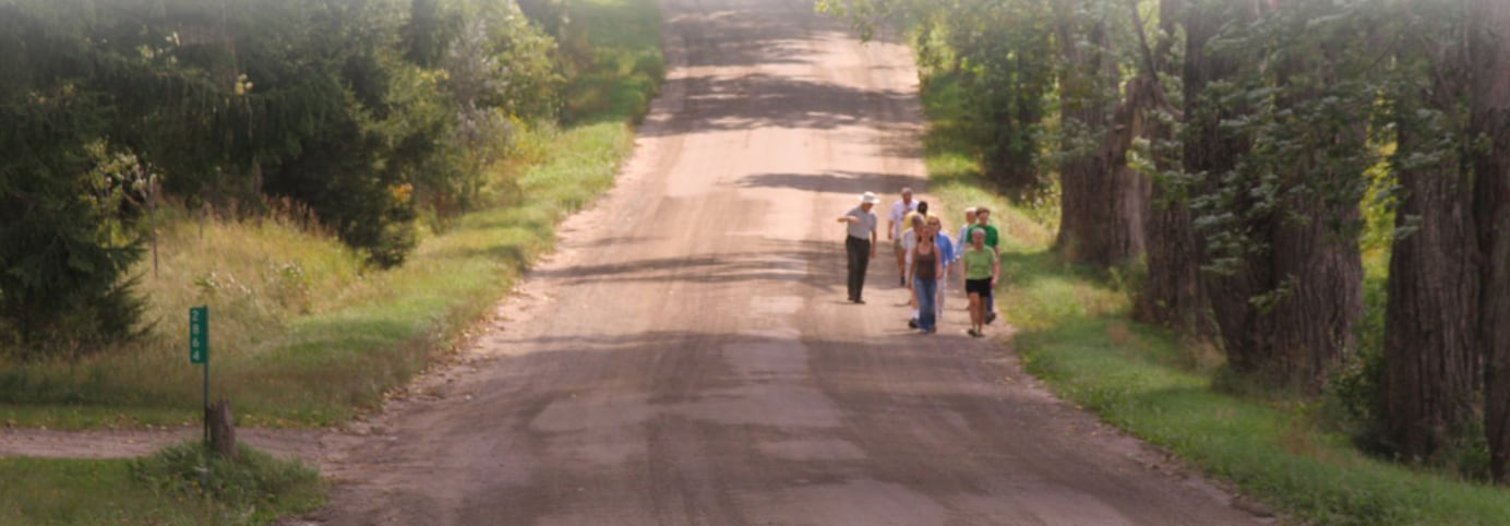
The walk, which forms the heart of the narrative, allowed me to mix descriptions of houses and farm buildings with images that both depicted historic structures and represented the ritual, processional nature of the family walks themselves.
I was able to use the Story Map Cascade app’s ability to incorporate very tall images to include a detailed map, derived from ArcGIS Online’s imagery basemap, that shows the walk, and the buildings along it, at large scale. An unfortunate drawback is that the destination of the walk is at the top (or beginning) of the map. Ideally, the starting point of the walk would have been at the top of the map. But I decided that it would be too confusing, and disorienting, to turn the map around and put the southern end up. Perhaps I’m wrong about that; let me know if you think so.

At any rate, I enjoyed putting the story together, and it’s been fun to share with my family. I’ve long felt that Story Maps have enormous potential as a creative medium, and as a way to document, celebrate, and share personal experiences. I’ve done story maps of several family vacations, including three Scotland trips: to the Outer Hebrides, to the Isle of Mull, and to the Isle of Arran. I urge you to document your own experiences in Story Map form—and to explore the rich connections among landscape, history, memory, and emotion.

Great!
Thank you!