“Pancakes and Silver” by Stanford University Libraries took the grand prize in Esri’s 2019 StoryMapper of the Year competition. The story, made with the new ArcGIS StoryMaps builder, describes the use of 21st-century technology to cast a new light on 19th-century silver mines in Nevada’s Comstock lode.
The story map and four runners-up were chosen from among hundreds of competition entries on a broad diversity of topics and created by government agencies, nonprofit organizations, research institutions, and passionate individuals.
The 2019 StoryMapper of the Year competition was the first to spotlight stories created using ArcGIS StoryMaps, Esri’s second-generation storytelling app. Another first was the addition of cash prizes, with contestants required to describe how their prize money would be used for social benefit.

We were fortunate to have three distinguished judges make the final selection of grand prize winner and four runners-up: James Fallows (left) is a veteran journalist and commentator for The Atlantic; Michael Goodchild is professor emeritus at the University of California, Santa Barbara; and Alex Tait is The Geographer at the National Geographic Society. As Mike Goodchild noted,
“The winning story maps illustrate how anyone with a good story to tell was able to use the tools to turn that story into something that could be shared, and could inspire others.”
Grand prize: Pancakes & Silver
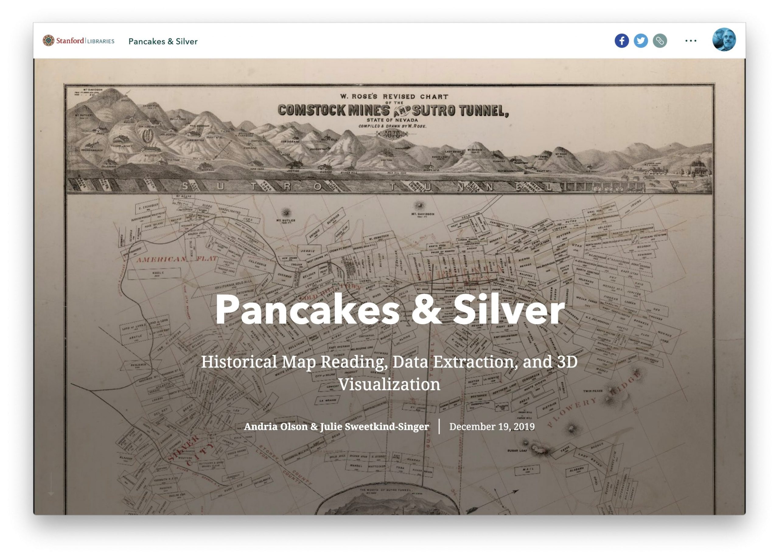
The grand-prize-winning story map “seeks to highlight the history and data buried within maps and views of the Comstock Lode, a significant lode of silver ore discovered in Virginia City, Nevada in 1859.” The story is an accompaniment to “Mining Maps and Views,” an exhibit produced by the Stanford University libraries. The story uses engaging text and handsome images of historical maps to set the historical context. It then describes how old maps were digitized and combined with elevation data and mine depths to generate bird’s-eye views from above—and miner’s eye views from beneath the surface.
Runner-up: Working with a blindfold
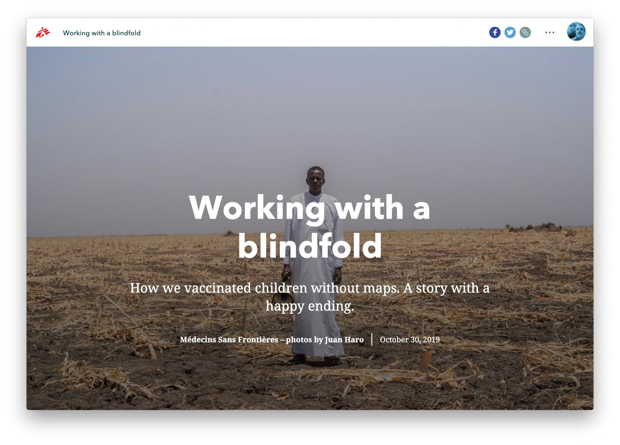
Médecins Sans Frontières’ (MSF) story map describes a measles outbreak in rural Chad. Field workers were hindered by the lack of maps of the many villages in the region. “Carrying out an operation like this without a map is like working blindfolded,” the story explains. Fortunately, MSF, the British and American Red Cross, and the Humanitarian OpenStreetMap Team had established a “Missing Maps” initiative in 2014; Missing Maps volunteers were able to use satellite imagery to compile a detailed map of the region, providing vital data to field teams working to vaccinate local populations.
Runner-up: Clearing the Air in the Historic West End
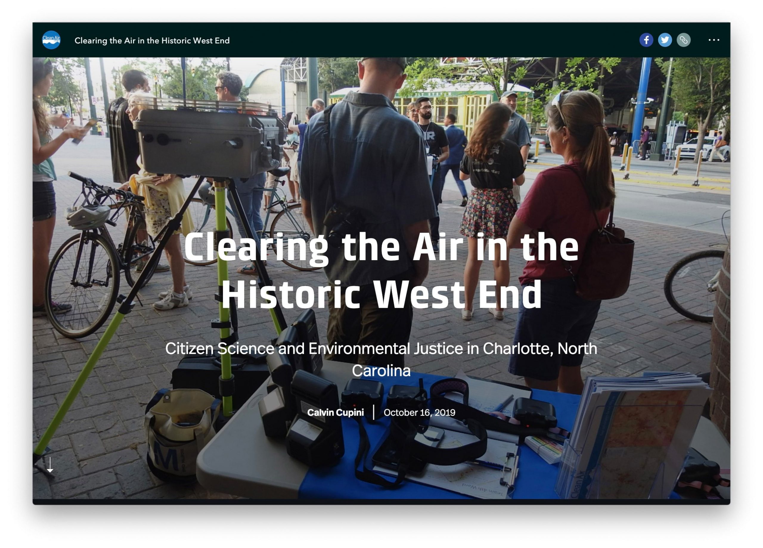
Calvin Cupini of Clean Air Carolina profiled two neighborhoods in Charlotte, North Carolina in his story map. Historic West End is primarily African American and has relatively high poverty rates, while Dilworth/Myers Park is more affluent and largely white. The story reveals patterns of past redlining, and maps the higher incidences of highway building and zoning for industry in the West End. It depicts the far greater number of air pollution sources in the West End, and makes a strong case that, in terms of environmental justice, the West End has suffered disproportionate negative effects from government policies and industry practices.
Runner-up: The Hunt for Delaware Boundary Monuments
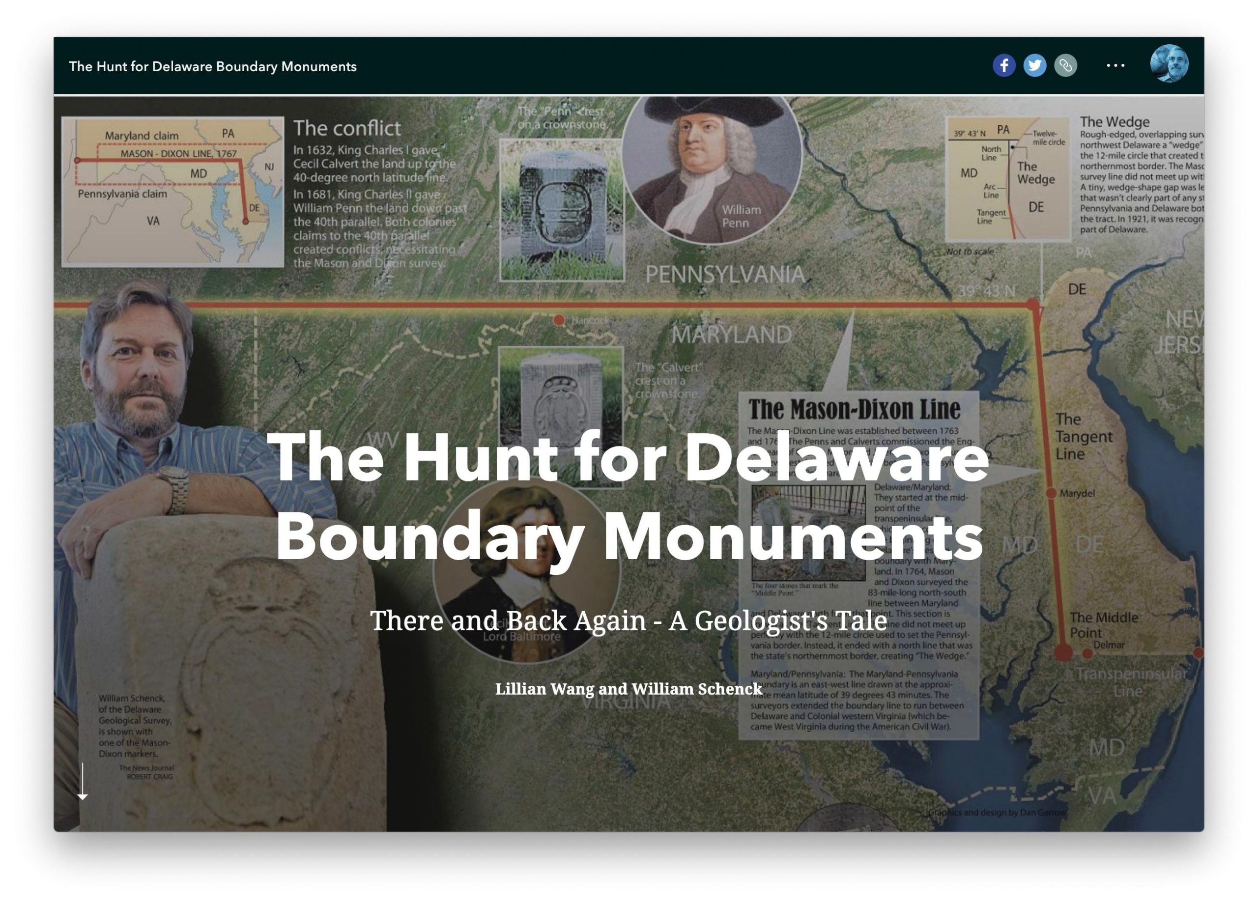
In this engaging story map, Lillian Wang and William Schenck of the Delaware Geological Survey reveal the passion Schenck applied in his efforts to locate and preserve the 179 stone monuments that define the boundary of the state of Delaware. The story describes monuments that had been moved, vandalized, or damaged by long exposure to the elements. Included, for instance, is monument 85, which was found “in the side yard of a home with a bird bath sitting on top of it. The monument was not in its original location and needed to be reset and resurveyed.” The story makes a convincing case for the historical value of Delaware’s monuments, concluding that “preserving and respecting them should be a priority for all of us.”
Runner-up: Saving the Shawangunks
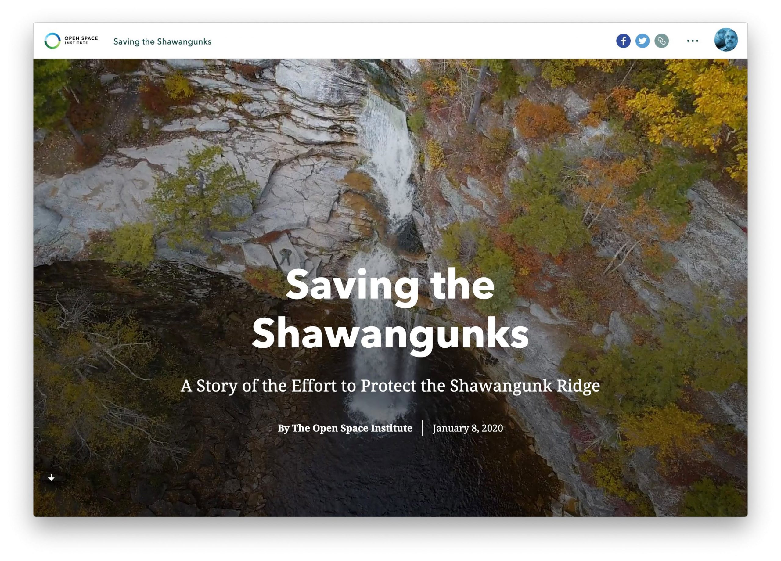
Preservation is also the topic of this elegant story map by the Open Space Institute. The story describes the Shawangunk Ridge as a “47-mile long wonderland of windswept cliffs, rock talus fields, and secluded ravines in southeastern New York.” A distinctive characteristic of the region is a long line of white cliffs, remnants of a shallow seafloor that was thrust upward as continents collided some 375 million years ago. Photos and videos depict the ridge’s natural treasures, and a series of maps documents the Institute’s land protection efforts over nearly a half-century.
For those of us on the StoryMaps team, it was a thrill to see such high-quality narratives, and gratifying to see stories covering a dizzying array of topics representing a broad spectrum of viewpoints. Many authors were associated with governments and nonprofits; some expressed personal passions. Regardless of the viewpoint, a common theme was a commitment to the common good, whether it’s humanitarian affairs, conservation, sustainability, or social justice.
It’s this common good that motivates my team and me. We may be ambitious, but it’s our hope that, in aggregate, story maps can have an impact on our society. We’d like to think that, ultimately, many thousands of story maps can start to resemble a sprawling, multi-part story of the Earth, and that story maps can play at least a small role in guiding us toward a just and sustainable future.
For more information, see our story map describing why we love the finalists in the 2019 StoryMapper of the Year Competition.

Commenting is not enabled for this article.