While coronavirus disease 2019 (COVID-19) is changing almost everything in our lives, one thing hasn’t changed: water continues to be delivered to homes. When you turn on the faucet, clean water comes out. When you flush the toilet, dirty water goes away. Most of us don’t think much about it, but our water utilities do. They are having to adjust, just like everyone else, and continue to operate their systems. They are providing clean and safe drinking water to their customers under completely changed circumstances.
Many water utilities use geographic information every day to help manage their assets, monitor their operations, analyze their systems, and make more informed decisions. In today’s environment, the same issues and challenges exist but with the added complexities of the pandemic. Many organizations are turning to their geographic information system (GIS) for support. Esri provides a variety of data layers, apps, and solutions that can be used to meet a number of challenges resulting from the COVID-19 pandemic. These challenges include
- Understanding where your staff are and what they are doing.
- Communicating with your organization and your customers.
- Responding to emergencies with smaller crews and fewer staff members.
- Identifying vulnerabilities within your service area and keeping staff safe.
- Adapting workflows to support a remote work environment.
Maintaining Business Continuity
With the release of Esri’s Coronavirus Business Continuity solution, water utilities are quickly configuring apps that help them understand how COVID-19 is impacting their daily operations. The solution makes it easy for employees to report on the status of facilities, check in with their work locations and give updates on the health of coworkers, use dashboards to view facility status and workforce capacity, and communicate closures and disruptions to customers and the public.
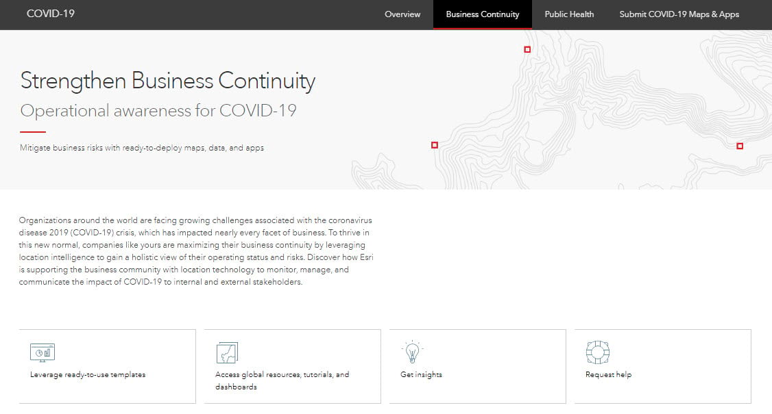
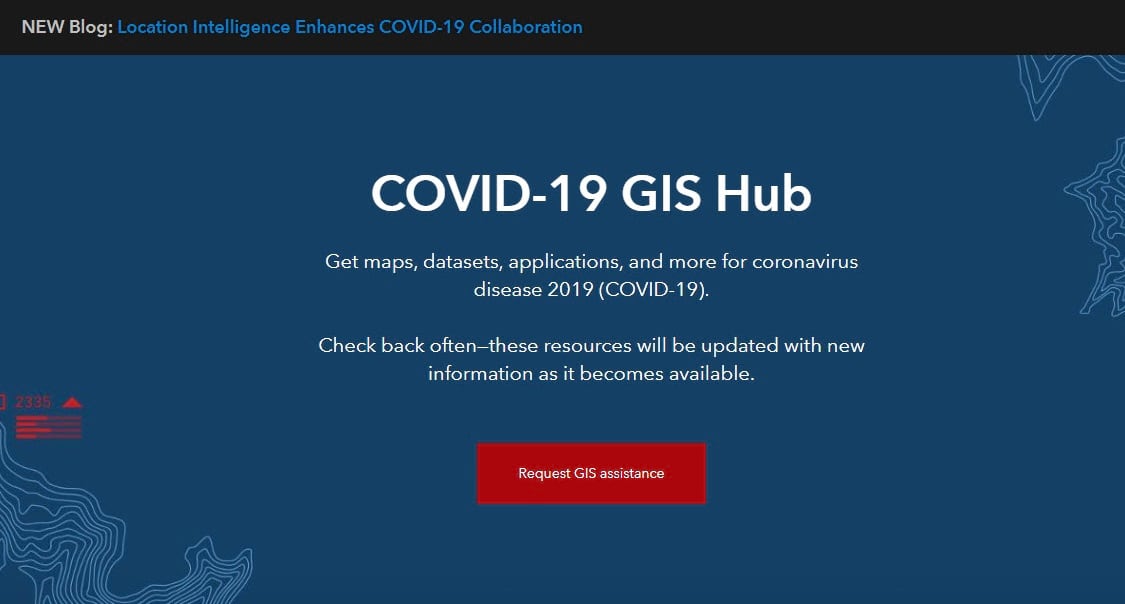
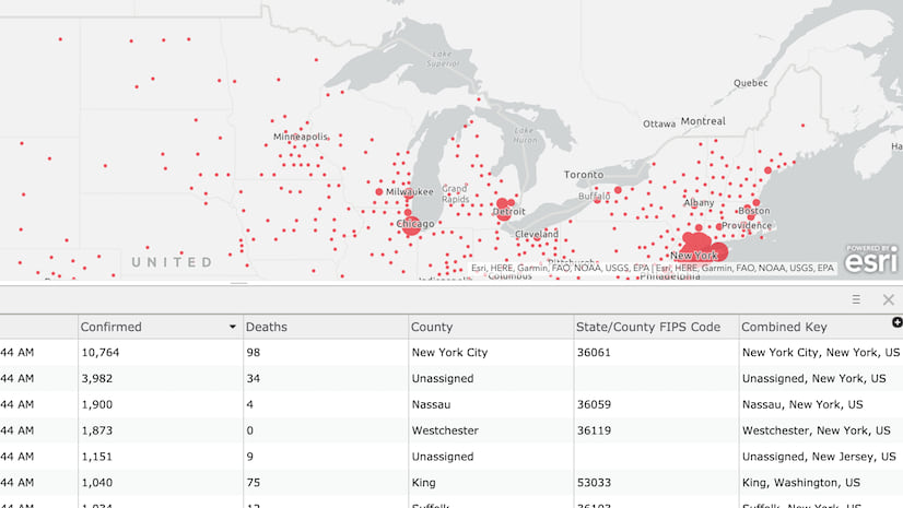
Water utilities need to keep their team members safe while ensuring the operation of water distribution and wastewater collection assets. A water utility in the U.S. needed a more detailed understanding of the potential exposure to COVID-19 in each of their service areas. They are using ArcGIS to visualize and analyze data from Esri’s COVID-19 GIS Hub in conjunction with their own data to identify where there is high risk of exposure. Combined with the utility’s real-time crew locations, this information helps security teams keep staff as safe as possible.
Supporting Social Distancing
To help comply with physical distancing guidelines, some utilities are quickly enabling a real-time staff monitoring system by implementing Tracker for ArcGIS and ArcGIS GeoEvent Server. These solutions provide location information about vehicles and staff. Notifications can be configured to send alerts when too many staff members are in a vehicle or at a work location. Customers are using Workforce for ArcGIS to coordinate work activities. With changes in typical working environments, staff are no longer coming to the office to get work assignments. Workforce helps managers and supervisors remotely assign tasks, and mobile workers receive and manage daily activities.
Leveraging COVID-19 Data and Solutions
Here are a few examples of how water utilities are using ArcGIS to maintain business continuity, understand the impact of the pandemic, identify vulnerabilities within their service areas, and track and monitor their people and assets.
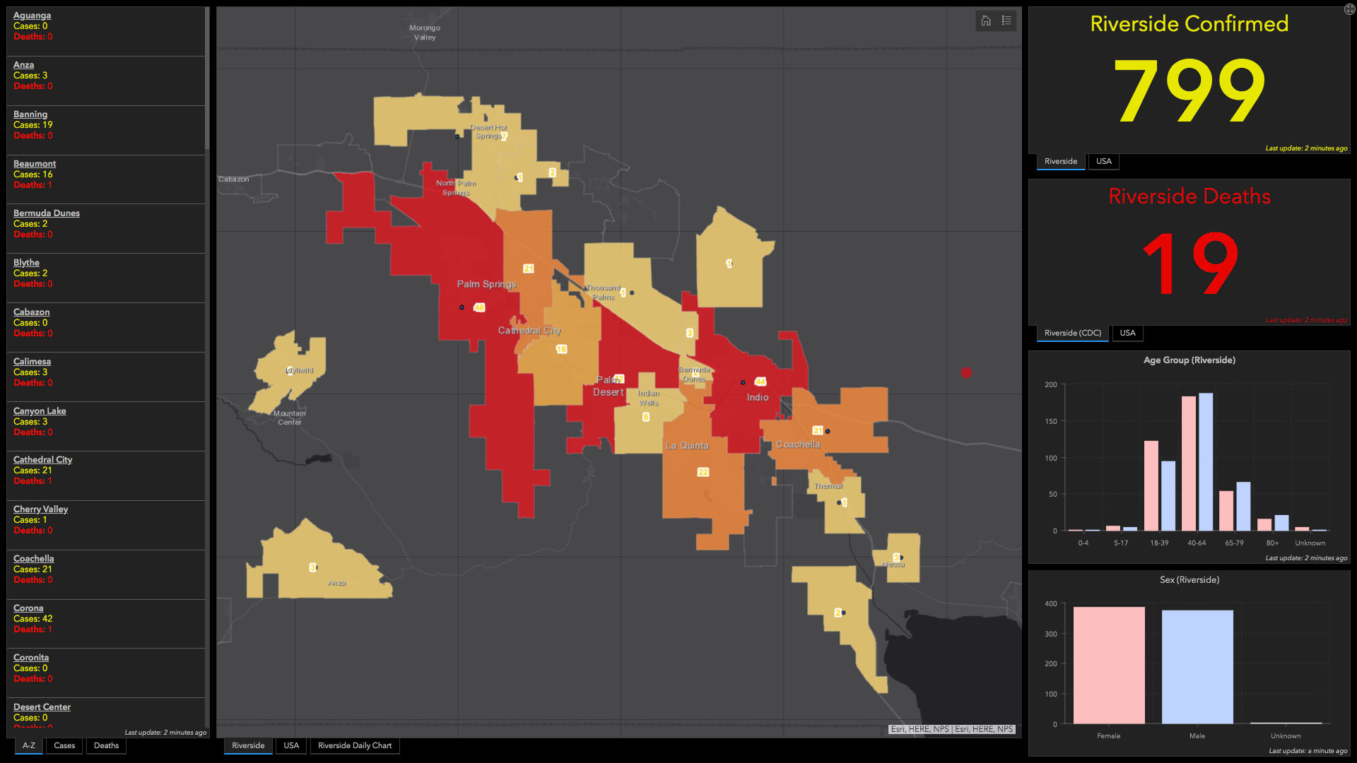
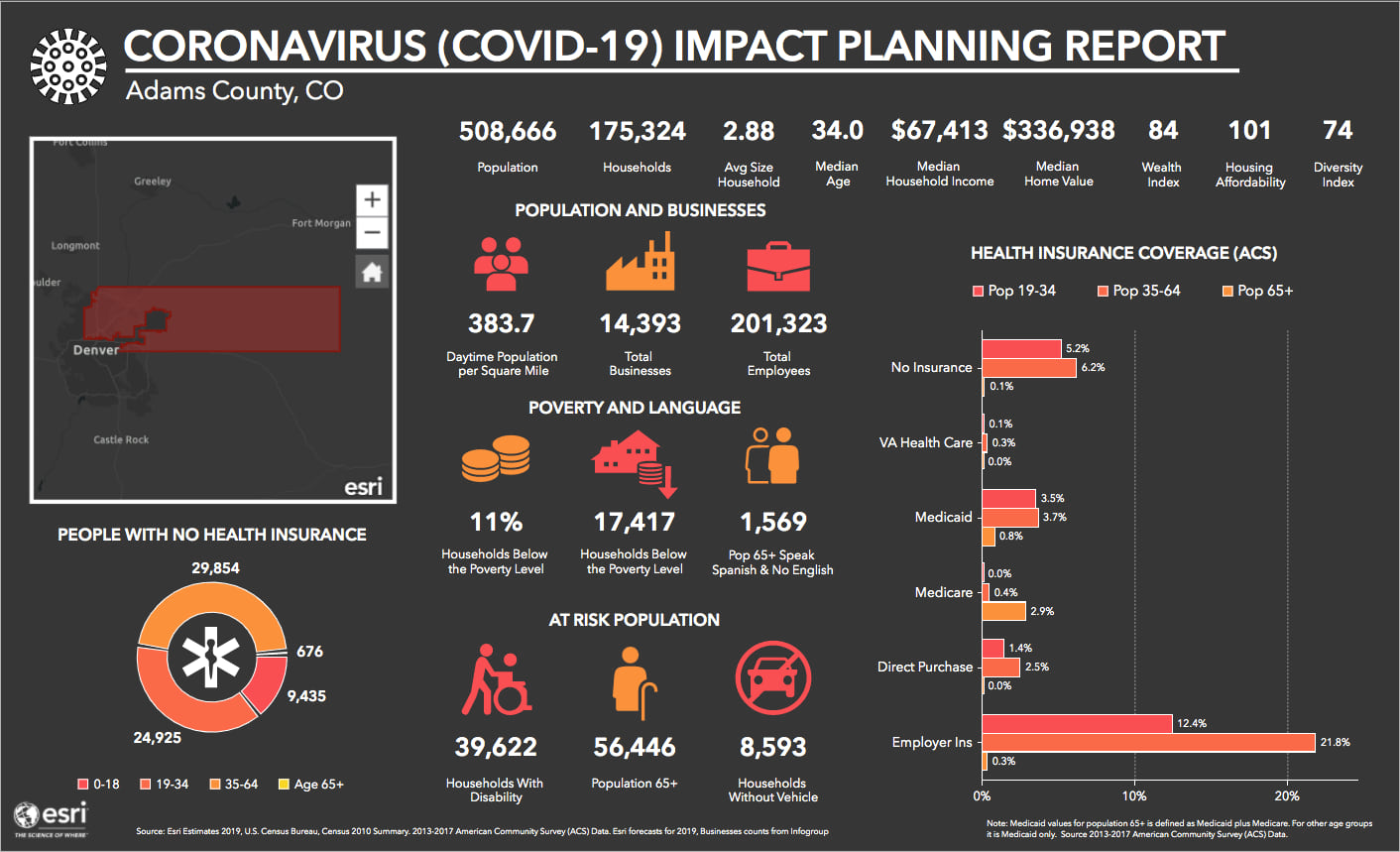
Emergency Operations Centers are using COVID-19-related information products to support overall planning and operational awareness for response efforts. Coachella Valley Water District is leveraging data from Johns Hopkins University and other sources in a dashboard. The dashboard displays county-level COVID-19 data to better understand the impact of the virus. See Coachella Valley Water District’s COVID-19 Dashboard image below. Others are sharing demographic data from ArcGIS Living Atlas of the World. The Coronavirus Infographics Template is configured to look at multiple county-level factors that are important in helping them understand which customers are especially at risk. See Adams County Coronavirus Infographic image below.
Helping our Water Community
ArcGIS is providing unique capabilities and contextual tools to support field operations, monitor and track people and activities in real time, analyze vulnerability and risk, and interact with communities. GIS is helping water utilities all over the world maintain control during the crisis. Esri is striving to utilize all of our knowledge and technology to assist our customers, as we have a vested and deeply connected interest in their mission. Let’s all keep an eye on the vision of a brighter future and lean on each other’s skills during this time. The lessons we learn from this challenge will improve all our processes in the future.
If you need support, please reach out to Esri’s water team: water@esri.com
We are here to help.



Article Discussion: