Not sure where to go during the virtual UC? Start with this guide that segments imagery and remote sensing into 6 categories –
- UC registration
- Manage and serve imagery
- Create map products from imagery
- Analyze imagery and rasters at scale
- Visualize and exploit 2D and 3D imagery
- Access ready-to-use imagery content from ArcGIS
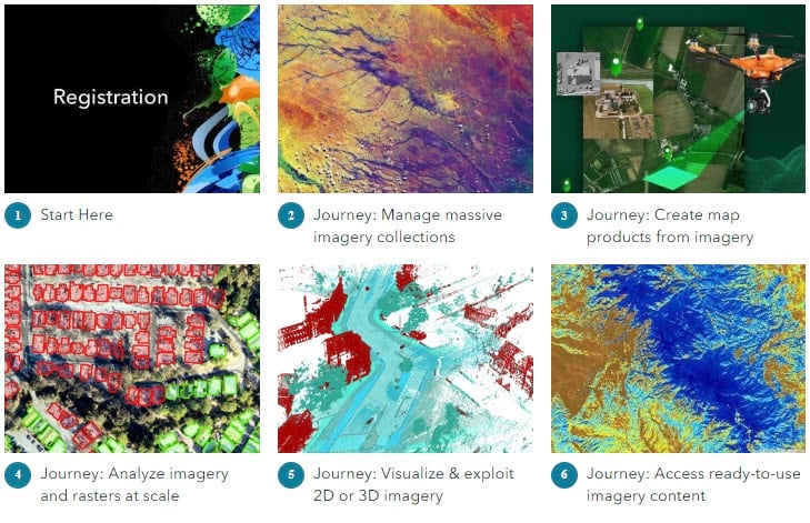
Choose a UC imagery journey above that’s focused on what you’d like to accomplish or learn more about. Then, see all related session, resources, and where to go for help.
Reminder: There’s a wealth of product knowledge in the product showcase. Come get your questions answered:
- ArcGIS Drone2Map showcase
- ArcGIS Excalibur showcase
- Distributed Raster Analytics showcase
- Deep Learning showcase
- Elevation & Lidar showcase
- Image Analysis and Visualization with ArcGIS Pro
- Image Management showcase
- Motion Imagery showcase
- Multidimensional Analysis showcase
- Oriented Imagery showcase
- Ortho Mapping showcase
- Site Scan for ArcGIS showcase
- Web GIS & Imagery showcase


Article Discussion: