Esri and our users recognize that diversity, equity, inclusion, and racial justice are more important than ever. This year, during a national call for racial justice and a pandemic that has exposed long-standing societal inequities, we must come together as a geospatial community to address these issues. Why does location matter? Because race and place matter. Because of this, we are bringing more content on these topics to the Esri UC than ever before.
To help you find your way to the sessions and events most relevant to diversity, equity, inclusion and racial justice, we have prepared this agenda to help you plan your UC experience. The events in this agenda center around 3 topics:
Equity & Social Justice
Location intelligence can help build a more equitable and just world where aspects of a person’s social identity (gender, race, ethnicity, socio-economic status, ability, sexual orientation, nationality, etc.) do not impact their outcomes. There are many opportunities at this year’s User Conference to see how GIS is being used by governments, nonprofits, and businesses to advance equity and social justice.
Diversity & Inclusion
A diverse and inclusive geospatial community where people of all backgrounds are empowered to solve the world’s greatest challenges is essential to building a sustainable and prosperous future. At the UC this year, there are several opportunities for members of underrepresented or otherwise marginalized groups to connect, uplift one another, feel a sense of belonging, see themselves represented, share experiences and concerns, and learn about the many organizations helping underrepresented groups in GIS overcome barriers to thrive.
Racial Justice
In response to the senseless and horrific killings of George Floyd, Breonna Taylor, Ahmaud Arbery and too many others, organizations around the world and especially in the United States are increasing their efforts to eliminate long-persisting racial inequities. There are several opportunities at this year’s UC to learn about Esri’s new Racial Equity Initiative and hear from Esri users across different industries on how they are using GIS to address racial inequities in their communities.
Esri employees and I want to express our support for the Black community during these difficult times and reinforce our commitment to help our users in their efforts to use GIS to bring about positive change. This is clearly a time when we as GIS professionals can use our special talents and tools to help communities better understand, communicate, and be engaged – all necessary for meaningful action.
Read below for a full list of events & activities, including:
- Map Gallery | Equity & Social Justice Group
- Racial Equity & Social Justice Virtual Kiosk
- NorthStar & Blacks in GIS present: The Homecoming at the UC
- User Presentations
- Special Interest Group (SIG) Meetings
- Relevant Product Tech Workshops

Map Gallery | Equity & Social Justice Group
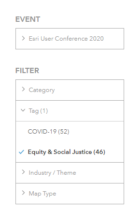
Throughout the conference, attendees will have the opportunity to visit the online Map Gallery where they can look through maps submitted by other attendees. The Map Gallery can be accessed from the main carousel once you are logged into the conference platform. Once you find the Map Gallery, you can click the Tag for “Equity & Social Justice.” See screenshot below for reference.
Racial Equity & Social Justice Virtual Kiosk
Located in the Sustainable World Showcase, the virtual kiosk will include links to Esri resources on racial equity & social justice and offer opportunities to live chat and/or schedule a 15 minute virtual meeting with members of Esri’s Racial Equity Team.
- Monday, July 13, 2020 | 12:05 PM – 3:45 PM PDT
- Tuesday, July 14, 2020 | 7:30 AM – 9:40 AM PDT | 11:10 AM – 3:45 PM PDT
- Wednesday, July 15, 2020 | 7:30 AM – 9:40 AM PDT | 11:10 AM – 3:45 PM PDT
The Homecoming at the UC
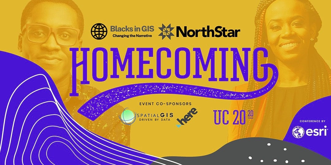
Co-sponsored by SpatialGIS and HERE Technologies Unity and Power
The Homecoming at Esri UC is a week-long event that brings people of African descent and allies of the Black community together to network and share ideas about the industry of GIS, geospatial technology, and geoscience. This year’s topics include equity and social justice, equitable disaster response, entrepreneurship, diversity and inclusion, and career development. Events include a welcome discussion, plenary watch party, and more. Register and see the full agenda here.
Join the NorthStar Mailing List and Follow them on Twitter | Facebook | Instagram
User Presentations
Equity & Social Justice Track
Esri users sharing how they have leveraged GIS to advance equity and social justice. Visit the On-Demand Presentations section of the User Conference Online Agenda to search for these presentations. To access these presentations during the conference, visit the Sessions & Speakers section of the Esri User Conference Event Application once you are logged in.
*Each presentation session will be approx. 20 minutes long (regardless of the number of presenters).
| Session | Title | Presenters |
| 10522 | Emerging and Best Practices for Advancing Equity and Social Justice | GIS for Equity & Social Justice Best Practices, Greg Babinski, King County Toward Just, Green Future Emerging Approaches for Equitable Public Investments, Cayce James & Richard Gelb, City of Seattle |
| 10523 | Developing Equity Indices to Inform Policies and Investments | Just Data: Building the Equitable City w/ the Tacoma Index, Alison Beason, City of Tacoma, WA Creating Opportunity Incentivizing Low-Income Housing in High-Opportunity Areas, Arthur Gailes & Samir Gambhir, Othering & Belonging Institute @ UC Berkeley |
| 10524 | Advancing Racial Equity and Justice Through Spatial Analysis | Critical Race Spatial Analysis GIS as Community-Based and Anti-Racist Praxis, Veronica Velez, Western Washington University Mapping Racial Equity in Asheville, North Carolina, Christen McNamara Watts, City of Ashville, NC |
| 10525 | Equitable Access for Strong Families | Addressing Environmental Justice Issues in Stockton, CA, Jaimie Huynh, California EPA |
Relevant Presentations in Other Tracks
Sessions related to diversity, equity, inclusion or racial justice that are listed under other tracks are compiled here. Visit the On-Demand Presentations section of the User Conference Online Agenda to search for these presentations. To access these presentations during the conference, visit the Sessions & Speakers section of the Esri User Conference Event Application once you are logged in.
*Each presentation session will be approx. 20 minutes long (regardless of the number of presenters).
| Session | Title | Presenter |
| 11304 | The Business of Sustainable Prosperity and Social Equity | Financially Empowering Communities in Banking Deserts, David Jordan, Eric Meyers, Brooke Schulte, Fifth Third Bank Data Visualization, Digital Mapping, and the Future of Black Press, Paulette Brown-Hinds, Black Voice News |
| 10526 | Inclusive Mapping for the Visually Impaired | Voice Interface for Italian Broadband Map, Aldo Milan, Italian Communications Regulatory Authority |
| 11016 | Environmental and Climate Justice | Integrating Equity Data into Climate Planning, Lara Miller, The Trust for Public Land Unsafe. Unsanitary. Unequal., Mia Loseff, Texas Housers |
| 11062 | Children and Youth | Leveraging Data to Visualize the Changing Dynamics of Student Homelessness, Natalee Desotell, Institute for Children, Poverty & Homelessness |
| 11243 | Tribes Making Strides with the Use of Unmanned Aerial Systems | Mapping and Analysis of Tribal Lands Utilizing UAS, Dustin Holt, Hunter Lindley, Jennifer Crawford, Choctaw Nation of Oklahoma |
| 10810 | Using GIS to Protect, Develop, and Preserve Homelands | Effective Housing Data Collection with ArcGIS Collector and Operations Dashboard, Nadine Clah, Anders Berg, Navajo Housing Authority |
| 10493 | Improving Access to Care with GIS | Kids Require Different Care and Systems from Adults, Alex Rothenburger, Children’s Hospital Association Mapping Geographic Access to Sexual and Reproductive Services in Malawi, Sainan Zhang, UNFPA |
| 10573 | Affordable Housing Plans in Action | Mapping for Change: Targeting Affordability Housing Opportunities Through GIS, Nika Langevin, Ned Murray, FIU Metropolitan Center Scenario Planning, Visualization and Public Engagement Using 3D GIS, Kalani Pahoa, City of Boulder |
| 10575 | Improving Accessibility and Walkability | Building and Leveraging a Multimodal GIS Network to Measure Transportation Goals, Sandy Brennan, Joel Gladfelter, Russell Provost, Foursquare Integrated Transportation Planning, WSP, MD National Park and Planning Commission |
| 10650 | Enhancing Health Equity | Using GIS to Address Social Determinants of Health Within Local Public Health, Adam Anderson, Tri-County Health Department |
| 10561 | The Health Impacts of Social Inequities | Health Inequities & Tobacco Retailer Density in California, Marie Boman-Davis, Lorenzo Higley, Dana Stevens, Community Action Service and Advocacy, National University |
| 10652 | How GIS Can Help At-Risk Populations | Using Data for Action and Impact in Promoting a Culture of Health Among Teens, Justine Garcia, City of Rancho Cucamonga Providing Health Services to the Homeless in Contra Costa County with Workforce, Isaac Cabrera, Darragh O’keefee, Congra Costa County |
Sustainable World Spotlight Theater
Presentations by nonprofit organizations related to diversity, equity, inclusion or racial justice. Visit the On-Demand Presentations section of the User Conference Online Agenda to search for these presentations. To access these presentations during the conference, visit the Sessions & Speakers section of the Esri User Conference Event Application once you are logged in.
| Session | Title | Presenter |
| 12028 | Bending the Curve Towards Gender Equality by 2030 | Women in GIS Kenya |
| 12030 | Geospatial Analysis in the World Bank Poverty and Equity Global Practice | The World Bank |
| 12049 | I Can’t Breathe: Mapping Systemic Racism | Faith X |
| 12050 | Expanding Our Historical Narrative | One Shared Story |
| 12064 | Inequity in the Outdoors – Crowdsourcing Accessibility | National Audubon Society |
Special Interest Group (SIG) Meetings
During the UC, you can access these in the Sessions & Speakers section of the UC platform once you are logged in.
Thursday, July 16th
Racial Equity & Social Justice | 9:15 am – 10:15 am PDT
In this SIG, attendees will hear from several organizations across different industries on how they are using GIS technology to address racial inequities in their communities. Attendees will also hear from members of Esri’s new Racial Equity Team on new GIS resources available to organizations looking to understand, plan, and act to end racial inequities.
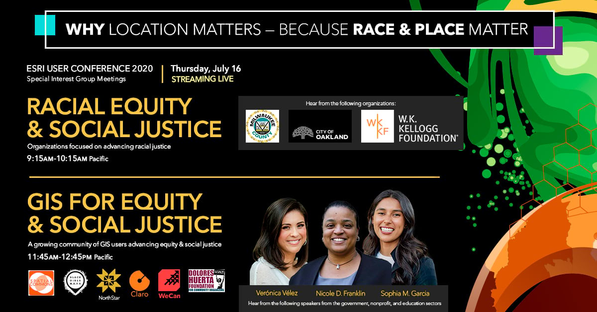
GIS for Equity & Social Justice | 11:45 am – 12:45 pm PDT
Location intelligence can help build a more equitable and just world where aspects of a person’s social identity (gender, race, ethnicity, socio-economic status, ability, sexual orientation, nationality, etc.) do not impact their outcomes. Hear from a growing community of GIS users across education, government, and nonprofit sectors who are advancing equity and social justice in their communities.
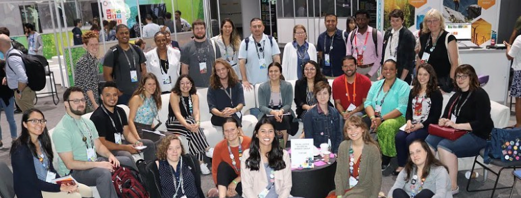
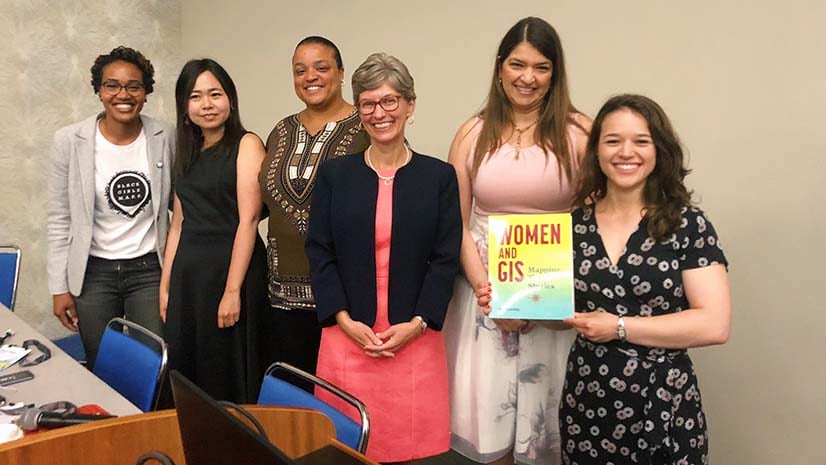
Women and GIS | 1:00 pm – 2:00 pm PDT
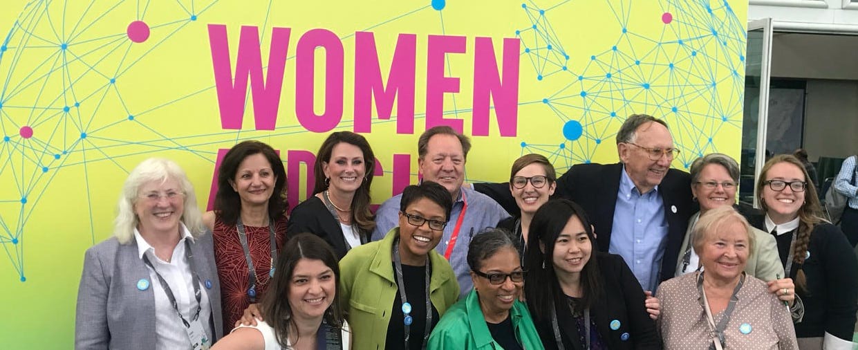
Women and their allies are invited to attend the 2020 Women and GIS Special Interest Group, facilitated by Esri’s WeCan (Women Enablement and Career Advance Network), to learn about resources and opportunities available to them through a variety of organizations and initiatives, including groups like Black Girls MAPP, Women in GIS, Women in Geospatial+, African Women in GIS, and Women in GIS Kenya. Attend this SIG to learn about how you can be an active participant in the “women and GIS” community.
Homecoming (Blacks in GIS) | 2:15 am – 3:15 pm PDT
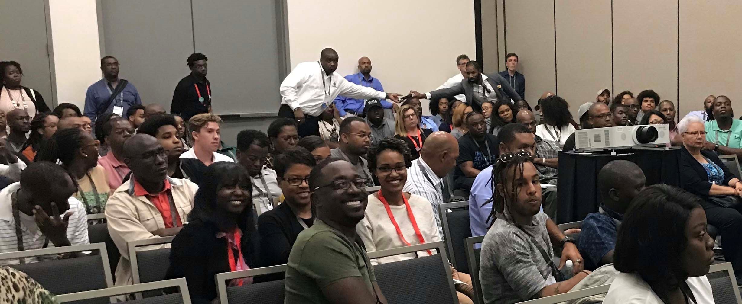
The Homecoming is a networking opportunity for GIS practitioners of African descent and allies. It provides a platform for showcasing the role of GIS in understanding, articulating, and resolving problems confronting underrepresented communities. This year’s themes include racial equity in emergency response, COVID-19 mitigation, socio-economic justice, and the impact of under-representation of Black people and other racialized communities (communities of color).
Young Professionals Network (YPN) | 3:30 pm – 4:30 pm PDT
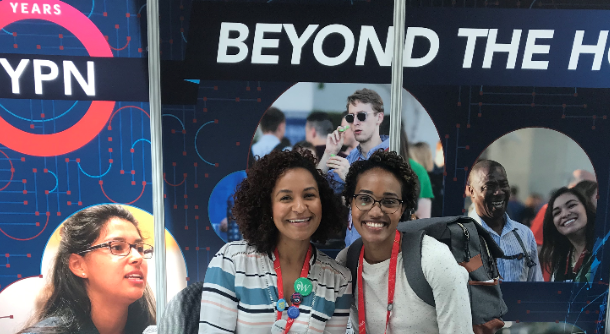
Our society is in the midst of many challenges in the call for racial equity. Many of us are deeply, personally, impacted by these challenges in our daily lives. Many professionals are managing a spectrum of emotions including anger, sadness, frustration, isolation, exhaustion, and beyond. When we go to work, these emotions and thoughts do not magically disappear from our minds when we log in to our computer. Why is it important to talk about racial equity in our workplaces? Listen to a diverse panel of Esri employees and GIS professionals answer this question and describe the actions we can take as individuals, leaders, and organizations to create safe spaces to foster learning and cultivate change in our workplace and society.
Law Enforcement SIG- Building Trust Through Transparency and Inclusive Engagement using ArcGIS Hub | 1:00pm – 2:00pm PDT
GIS helps bring police agencies, and the communities they serve, together to better understand, communicate, and engage on long standing community-wide issues. It also provides a way for agencies to improve trust within the community by providing greater transparency on activities, data collected, and how police-community initiatives are designed and performing. In this session the Esri law enforcement team will discuss ways your agency can use ArcGIS Hub, a community engagement platform that provides a variety of tools for sharing data, increasing accountability, connecting with residents, and supporting inclusive engagement initiatives that can build trust within the community.
Relevant Product Tech Workshops
Technical sessions focus on technical components of the ArcGIS Platform. While technical sessions may not focus explicitly on equity and social justice, sessions that focus on ArcGIS platform components that can be leveraged to support this work are listed below. Search the UC Online Agenda for more information on these sessions.
| Virtual On-Demand Sessions | ||
| Session 11156 | Developing Winning Public Policies with GIS | On-Demand |
| Session 11166 | Executing & Communicating Winning Public Policies with GIS | On-Demand |
| Session 11168 | Evolving Trends in Community Development | On-Demand |
| Session 11181 | Understanding Accessibility: Learn How to Design, Test and Develop Accessible Apps | On-Demand |
| Session 10879 | ArcGIS Dashboards: Designing Effective Dashboards | On-Demand |
| Session 10885 | ArcGIS Online: Use Map Styles to Define Your Web Map’s Purpose | On-Demand |
| Session 10738 | ArcGIS Pro: An Introduction | On-Demand |
| Session 10929 | Analyze the Intersection of the Environment and Human Population | On-Demand |
| Session 10933 | Create Great Maps Using Living Atlas Live Feed Layers and Arcade | On-Demand |
| Session 10952 | Content that Communicates: Effective Visualization with Living Atlas | On-Demand |
| Session 11017 | Understanding People Using Esri Data | On-Demand |
| Session 10897 | Incorporating American Community Survey into Your Workflows | On-Demand |
| Session 10898 | Use Living Atlas for Demographic Mapping and Analysis | On-Demand |
| Session 11151 | Add Demographic Context with ArcGIS GeoEnrichment Service | On-Demand |
| Session 12005 | Esri Redistricting: Building Transparency and Openness, A Strategy for Deploying a Modern Redistricting Platform | On-Demand |
| Session 10689 | ArcGIS Insights: An Introduction to Data Analytics and Visualization | On-Demand |
| Session 10941 | ArcGIS Business Analyst: An Introduction | On-Demand |
| Session 11177 | Communicating the Value of GIS in Your Organization: How to Measure Return on Investment | On-Demand |
| Live Sessions | ||
| Mon 1:40 – 2:40 PM PDT | An Introduction to Analysis in ArcGIS Online | Live |
| Mon 1:40 – 2:40 PM PDT | ArcGIS Enterprise: An Introduction | Live |
| Mon 1:40 – 2:40 PM PDT | Living Atlas of the World: An Introduction | Live |
| Mon 2:50 – 3:50 PM PDT | ArcGIS Online: An Introduction | Live |
| Mon 2:50 – 3:50 PM PDT | ArcGIS Story Maps: What’s New and What’s Coming | Live |
| Tues 7:30 – 8:30 am PDT | ArcGIS Pro: An Introduction to Mapping and Visualization | Live |
| Tues 7:30 – 8:30 AM PDT | Data Visualization for Spatial Analysis | Live |
| Tues 7:30 – 8:30 AM PDT | Esri Demographics and Census 2020: What’s New in the U.S. | Live |
| Wed 1:40 – 2:40 pm PDT | ArcGIS Urban for Smart Cities | Live |
| Wed 1:40 – 2:40 PM PDT | Building Web Applications in ArcGIS Online | Live |
Finally, Don’t Forget to Watch the Plenary Session Livestream
Watch three thought-provoking days of powerful stories about how GIS is making a difference in the world.
Part 1: GIS—Interconnecting Our World
Monday, July 13 | 10:00 a.m.–12:00 p.m.
Part 2: GIS—Interconnecting Our World: ArcGIS Technology and Applications
Tuesday, July 14 | 10:00 a.m.–11:00 a.m.
Part 3: GIS—Interconnecting Our World: Making Geographic Knowledge Pervasive
Wednesday, July 15 | 10:00 a.m.–11:00 a.m.
See you in July!
It is more important than ever to embrace the core principles of diversity, equity, inclusion and racial justice in the geospatial community. By bringing these principles into our geospatial community, we foster true collaboration, creativity, innovation, and geospatial solutions that create a better world. With GIS becoming more powerful and accessible, it is important to know how you can leverage its capabilities to create a more equitable, just and inclusive world. Incorporating these events and sessions into your User Conference schedule will enhance and bring new perspectives into your work. We hope to see you at one or many of these events!
PS – Connect with the GIS for Equity & Social Justice GeoNet group where members can be part of a community of geospatial professionals who are leveraging GIS to advance equity and social justice. Group members can find the latest information and resources on this topic, connect with others, ask questions, participate in discussions, share their successes and challenges, and learn about relevant events.

I would love to see a reporting option for orphaned items. Something that can identify which hosted features are not used in any maps or apps and can be safely removed from my organization.