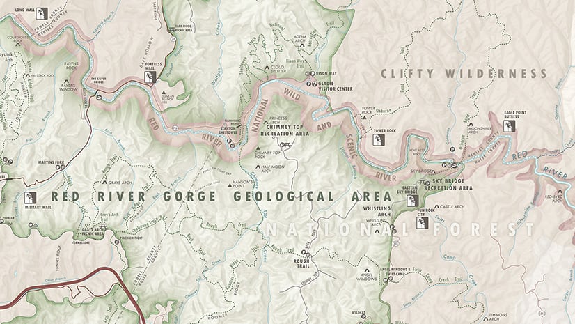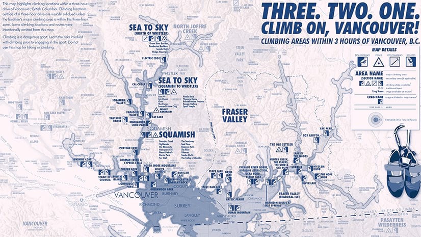
Perhaps you’ve already heard that Esri has developed a tool that connects Adobe® Illustrator® and Photoshop® to the power of ArcGIS. It’s true! ArcGIS Maps for Adobe allows designers to create accurate and stunning maps within the world’s most widely used graphic editor program. We want to see what YOU can build with this new mapping extension! We’re calling on graphic designers and mapmakers alike to submit their beautiful maps for a chance to be featured in our upcoming ArcGIS Maps for Adobe guidebook, which will be published later this year. We will choose the top three maps that capture great design and cartography. Each winner will receive a copy of the book, an ArcGIS Maps for Adobe sketch book, sticker, and an Esri pen!
Download the map competition submission form and submit your entries to: adobemapcomp@esri.com
The deadline for entering this competition has been extended to May 8th, 2020. Winners will be announced in June 2020.
Official Competition Rules*
- Maximum two (2) entries per competitor
- The map must be created using ArcGIS Maps for Adobe
- The map must be at least 5”x5”
- Formats accepted are PDF, PNG, and JPG/JPEG file format; Illustrator (.ai) files are acceptable long as all linked content and fonts are embedded with the file that is submitted.
- Resolution for PDF, PNG, JPG/JPEG files should be set at 300dpi/ppi.
- The maps must be received by April 15th, 2020
- Winners must be willing to sign a release form allowing Esri to publish their map in the upcoming ArcGIS Maps for Adobe guide book.
- Each winner will receive a copy of the book, an ArcGIS Maps for Adobe sketch book, sticker, and an Esri pen
Resources for Using Maps for Adobe
ArcGIS Maps for Adobe product documentation
Videos featuring updates and tutorials
Blogs and tutorials
Maps for Adobe with Photoshop® tutorial
Video walk-through of Maps for Adobe
4 Quick Steps to Cartoon Maps with Maps for Adobe
*Official rules, legal terms, and conditions


Commenting is not enabled for this article.