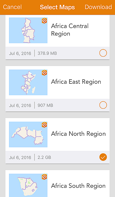
North Africa, South Africa, and West Africa
are now available.
Twenty-seven new maps are now available for Africa and the Middle East at the country, regional, and continental levels. Here’s the breakdown:
- 2 new continental maps for Africa and the Middle East
- 5 new regional maps for Central Africa, East Africa, North Africa, South Africa, and West Africa
- 20 new country maps for Bahrain, Botswana, Egypt, Israel, Jordan, Kenya, Kuwait, Lebanon, Lesotho, Morocco, Mozambique, Namibia, Nigeria, Oman, Qatar, Reunion, Saudi Arabia, South Africa, Swaziland, and the United Arab Emirates
These maps, combined with support for Arabic and Hebrew in the recent releases of Navigator 2.0 on iOS, and Navigator beta 2 on Android, mean that organizations working throughout Africa and the Middle East can now use Navigator to get optimized routes and driving directions in local languages.
Like other Navigator maps, the new maps are available through ArcGIS Online to users with a Navigator for ArcGIS license.
Maps for the Asia Pacific will be available late this year, and maps for Latin America will be available early next year. Check out the Navigator coverage map to see whether there is a Navigator map available for your area!
Article Discussion: