Each release brings new improvements to Esri-hosted location services. This month, there are a number of exciting updates to support developers building mapping applications. From new services entering beta, to others moving from beta to general availability, here’s a look at what’s new:
Find the Elevation for Any Location with the ArcGIS Elevation Service

Initially released in beta in August 2024, the ArcGIS Elevation service offers a fast and developer-friendly way for users to find the elevation for one or more locations. The service provides the height of both land-based and water-based locations.
It has a wide range of applications across various industries, such as determining elevation changes along roads or trails for sports-related solutions or assessing subterranean or underground depths for environmental scientists or organizations in the energy or utilities sectors. Now in general availability, the service is exclusively available to ArcGIS Location Platform users. Discover more about the Elevation service here.
Simplify Mapping Across Devices with the ArcGIS Static Basemap Tiles Service

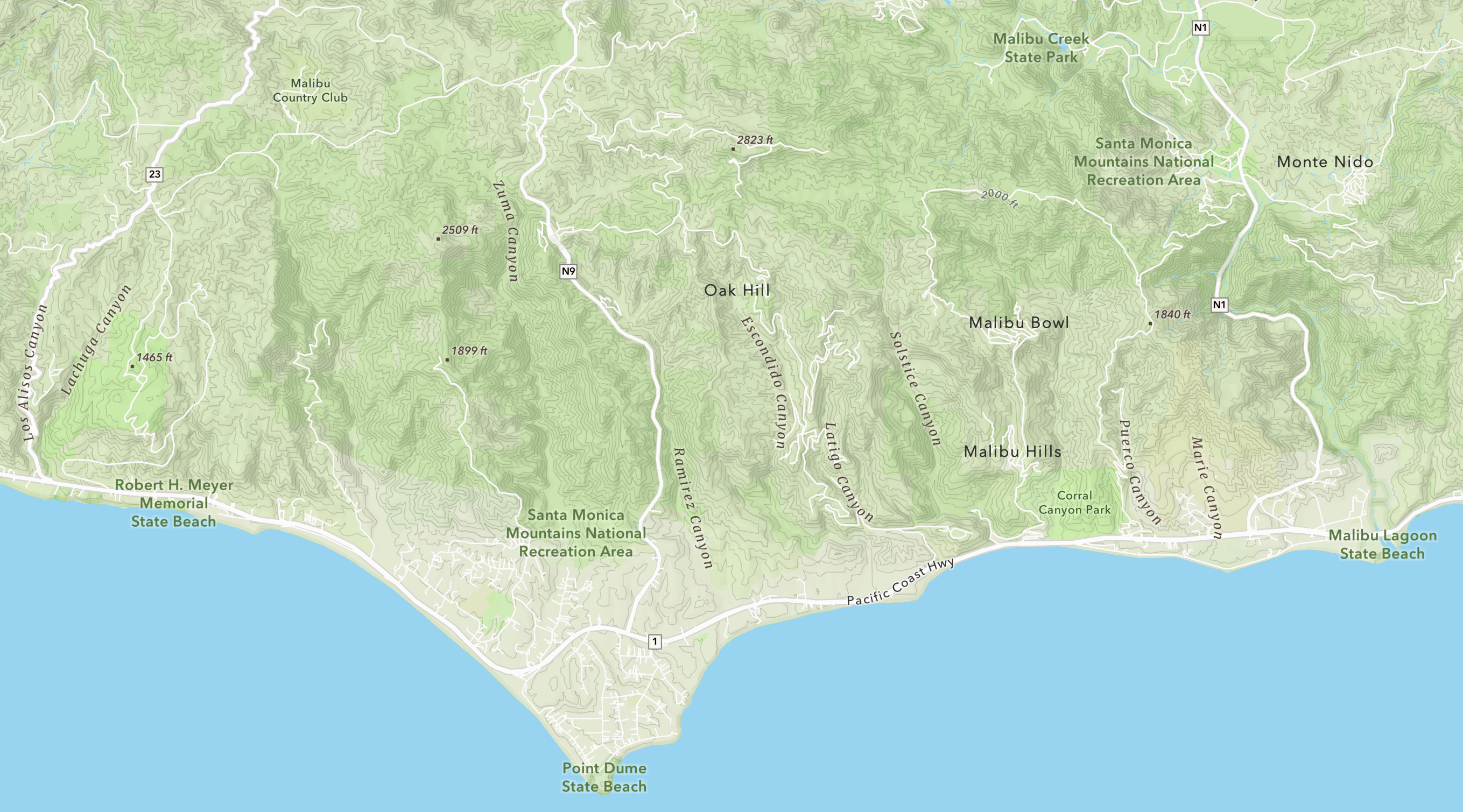
First introduced in beta in August 2024, the ArcGIS Static Basemap Tiles service was designed to address the challenge of accessing vector tile basemaps. In many cases, older web browsers with disabled or deactivated Web Graphics Library (WebGL) prevent the display of interactive visual content within the browser. Additionally, not being able to include a vector tile rendering library for a client can pose significant hindrances for developers building applications.
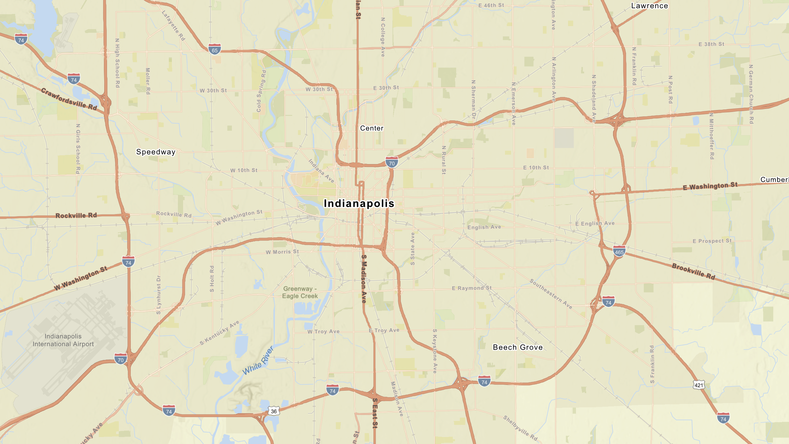
The ArcGIS Static Basemap Tiles service provides developers with static raster tiles for their applications. They can build applications that display rasterized basemap tiles in PNG format, offering an alternative to rendering vector tile basemaps. The raster tiles are available in multiple ArcGIS styles, including street, navigation, topography, and outdoor. The geographic data and styles that power the new service also come from the ArcGIS Basemap Styles service (vector tiles).
Now generally available, the service is accessible through ArcGIS Online and ArcGIS Location Platform. Explore the Static Basemap Tiles service!
Embed Map Images with the ArcGIS Static Maps service

Now in beta, the ArcGIS Static Maps service allows developers to create and embed map images from ArcGIS Basemaps on websites or applications where interactive maps are not ideal. These images can be displayed on web and mobile devices without requiring a mapping library or API.
Multiple industries can leverage the service, for example, travel apps can utilize it to display defined tour routes, transportation solutions can use it to visualize distribution networks, and event-based apps can provide directions to attendees. The service will be accessible to ArcGIS Location Platform customers when it becomes generally available. Users can test out the service through the Early Adopter program.
Solve Challenges Associated with the Last Mile of Delivery

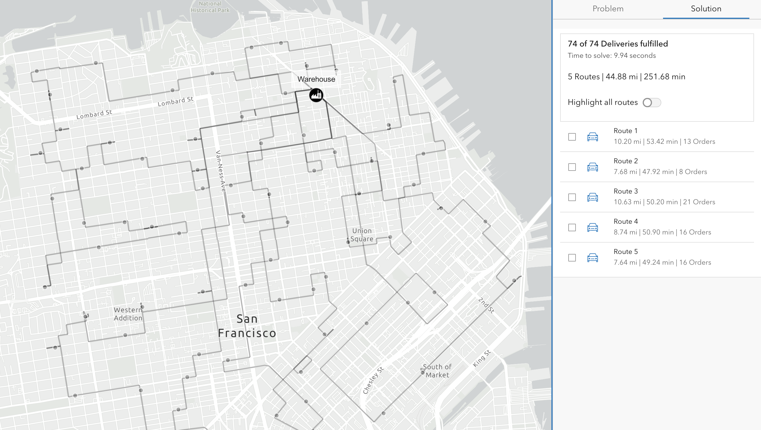
A beta version of the Last Mile Delivery service was introduced in June 2024 to address the challenges often associated with the final leg of delivery, commonly known as the last mile. With the Last Mile delivery service, developers are empowered to build applications and business systems that streamline the process of delivering packages from a single distribution center to multiple end customers. This service ultimately benefits businesses by reducing costs, improving delivery speed, enhancing customer satisfaction, and boosting operational efficiency.
The service optimizes the assignment and sequence of the route for orders, taking into account factors such as the location and time window of each order, as well as the capacity of each vehicle. This service could be extremely beneficial to developers building client applications related to transportation and logistics.
The Last Mile Delivery service has now moved from beta to general availability and is accessible to ArcGIS Location Platform users. Discover more in this blog article.
Geocode Large Files with the Batch Geocoding Service

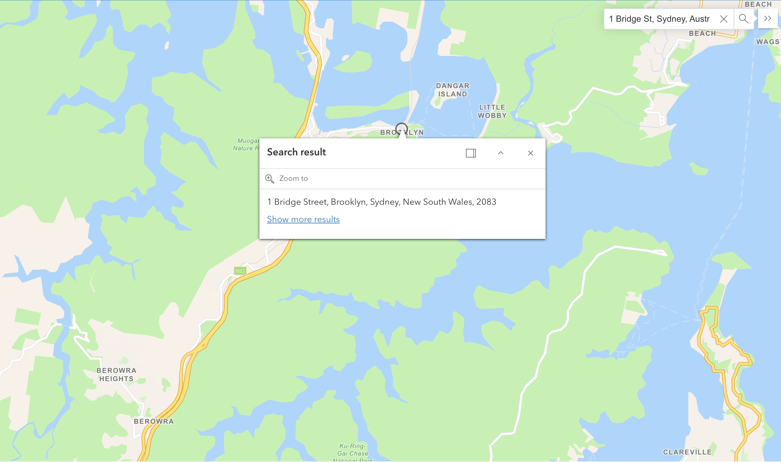
In September 2024, a new way to geocode large files was introduced with a beta version of the Batch Geocoding service.
The service simplifies the geocoding of large files by allowing users to submit a single file, process it, and then download the geocoded results. Operating asynchronously, the service enables users to track the job’s status throughout the process. The Batch Geocoding service is ideal for files containing over 100,000 addresses.
The Batch Geocoding service is now generally available and is accessible with the stored geocode privilege for both ArcGIS Location Platform and ArcGIS Online. Learn more from this blog article.
Get Updated Data through the ArcGIS GeoEnrichment Service

ArcGIS GeoEnrichment service provides a robust Esri-hosted data and analytics capability that enhances location-based decision-making. This service enriches users’ data by adding meaningful context about demographics, consumer behavior, and business landscapes globally through detailed reports, infographics, and tabular summaries. The GeoEnrichment service is integrated into various ArcGIS products.
Here’s what’s new for February:
- Updated global demographic for countries in Europe and Asia
- Updated Traffic Count data for the U.S
- The Upcoming Deprecation of the Standard Industrial Classification (SIC) codes and descriptions in the Esri Business Summary dataset for the United States
Explore more data updates in this blog article.
Explore Up-to-Data Points of Interest Data from ArcGIS Places

Esri dedicates substantial resources to providing up-to-date and high-quality Points of Interest (POI) data across ArcGIS products. Regular updates are crucial for accurately reflecting the dynamic nature of businesses and locations. Highlights from the February 2025 release include:
POI data updates supporting various ArcGIS products and capabilities with data based on the following sources:
Data Axle (Data Coverage: U.S., Canada)
| Region | Data Vintage Update | Records |
| United States | November 2024 supplier vintage | 13 million+ |
| Canada | November 2024 supplier vintage | 1 million+ |
SafeGraph (Data Coverage: U.S. & Puerto Rico, Canada)
| Region | Data Vintage Update | Records |
| United States | December 2024 supplier vintage | 15 million+ |
| Puerto Rico | December 2024 supplier vintage | 10,000 |
| Canada | December 2024 supplier vintage | 1 million+ |
View the documentation to learn more about how the data from each source is delivered through our products.
Learn more about What’s New in ArcGIS Places and how to access the ArcGIS Places data.
Get Started
Sign up to start building mapping apps with ArcGIS Location Services.
Subscribe to the Esri Developer Newsletter to stay updated on the latest releases.


Article Discussion: