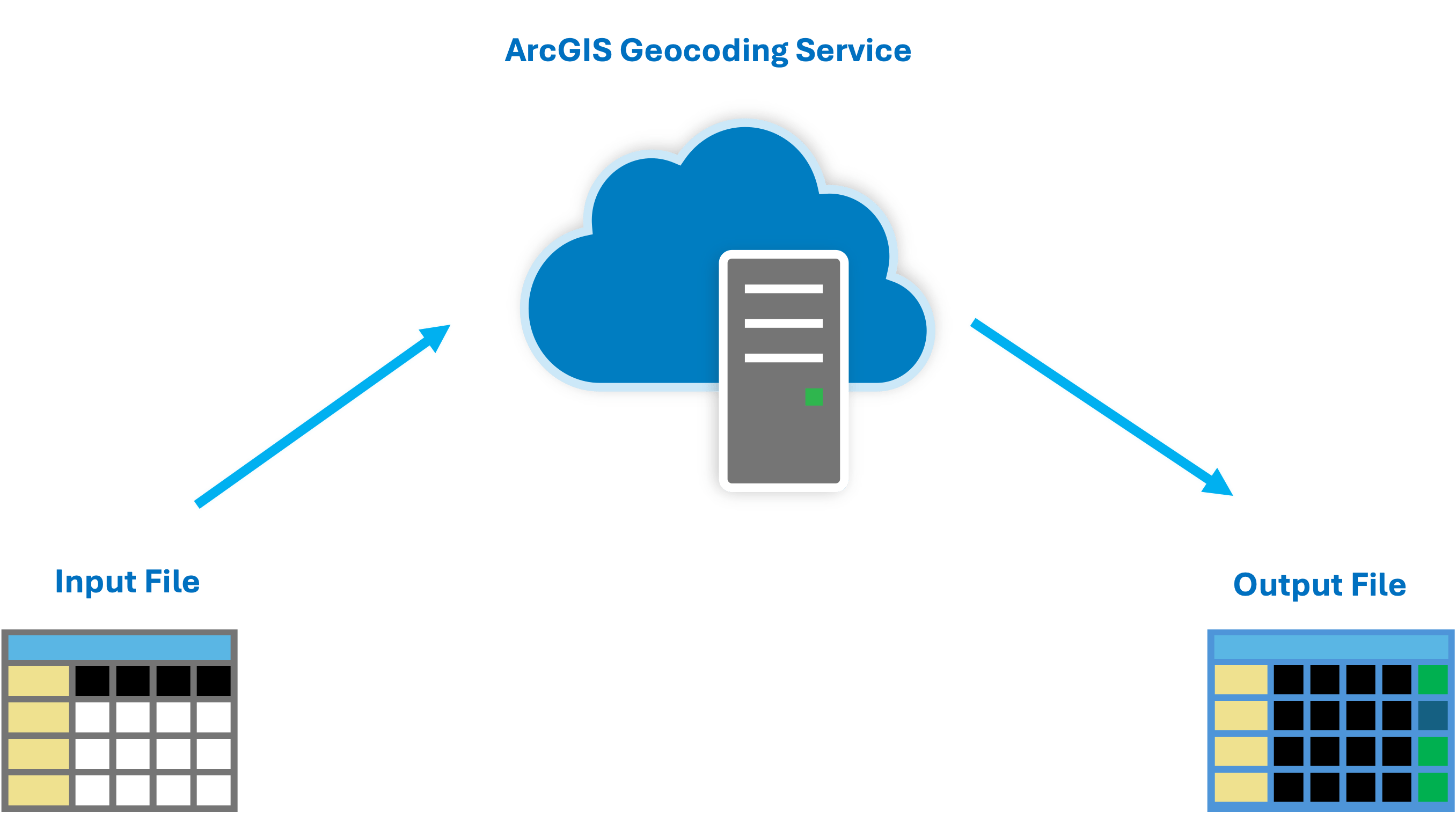
Geocoding large files can be a significant challenge for businesses aiming to spatially enable their addresses more efficiently. Traditionally, this process requires breaking down a file into smaller record sets for synchronous processing, demanding considerable client-side involvement. To address this issue, Esri is excited to introduce an innovative new solution: a Batch Geocoding service.
This service simplifies the geocoding of large files by allowing you to submit a single file, process it, and then download the geocoded results. It operates asynchronously, enabling you to track the job’s status throughout the process. The service is ideal for files containing over 100,000 addresses. For files with fewer than 100,000 addresses, we recommend using our geocodeAdresses service.
How the Batch Geocoding Service Works
The Batch Geocoding service processes a file of addresses through a sequential series of operations. The output from one step serves as the input for the next, culminating in a downloadable file.
This file includes the original addresses along with their corresponding x and y coordinates and additional fields that describe the geocoding results. Each step of the process must be completed successfully for the file to be fully geocoded.

Learn More and Get Started
For additional information and to begin using the Batch Geocoding service, we have made the following resource available:
- Syntax and description for the REST API
We are eager to see how the Batch Geocoding service will enhance your address-related workflows.


Article Discussion: