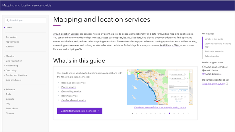
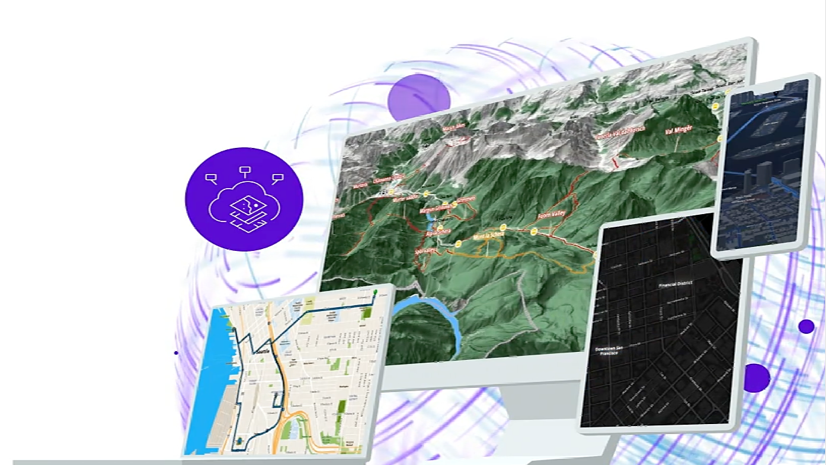
ArcGIS Location Services, hosted by Esri, offer comprehensive geospatial functionality and data essential for building robust mapping applications. These services allow users to display maps, visualize data, discover places, geocode addresses, find optimized routes, enrich data, and support various other mapping applications. The suite includes popular services like Geocoding, Routing, GeoEnrichment, Places, and Basemap styles.
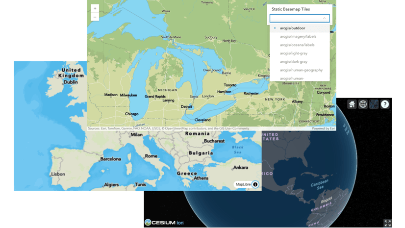
As part of our commitment to continuous innovation, we introduced new services to better serve our users. Launched in Beta this past August, the ArcGIS Static Basemap Tiles and ArcGIS Elevation Services respectively enable the creation of mapping apps with rasterized basemap tiles in PNG format and provide a quick and developer-friendly method to ascertain elevations at multiple locations. These additions are designed to equip developers with the necessary tools to create sophisticated applications and solutions
For November 2024, our location services team has rolled out several enhancements aimed at boosting the functionality of each service and integrating the most current data.

Here’s a detailed overview of the exciting new enhancements available for each service:
ArcGIS Geocoding Service
In September, we launched a Batch Geocoding service to tackle the challenges of geocoding large files. Users can now test this service and provide feedback through the Early Adopter Community program.
We also improved the match rate for point addresses in four countries and updated the data for 24 countries. For more details, see the most recent geocoding blog post.
ArcGIS Places
Esri continues to dedicate resources to providing up-to-date and high-quality points of interest (POI) data across products. Regular updates are crucial for accurately reflecting the dynamic nature of businesses and locations.
Before each release, our data engineering team processes global POI data from multiple sources to ensure it meets quality standards and is compatible with current software and capabilities.
Highlights from the November 2024 release include enhancements to ArcGIS Places data based on the following sources:
- USA and Canada – Data Axle and SafeGraph
- Puerto Rico – SafeGraph
- Global – Foursquare
For more information on the data sources, specific updates, and access mechanisms, please refer to ‘What’s New in ArcGIS Places Data.’

ArcGIS GeoEnrichment Service
The ArcGIS GeoEnrichment service provides a robust Esri-hosted data and analytics capability that enhances location-based decision-making. This service enriches users’ data by adding meaningful context about demographics, consumer behavior, and business landscapes globally through detailed reports, infographics, and tabular summaries. The GeoEnrichment service is integrated into various ArcGIS applications and is available to data scientists, and developers via ArcGIS APIs and SDKs offered by Esri. Data updates are typically released three times annually. Key updates in the November 2024 release include:
Data Updates:
- U.S. – Includes new urbanicity data, new school district data, and new business categories.
- Canada – Advanced demographics
- South America – Standard demographics
- Oceania – Standard demographics
Beta and Early Adopter Releases:
- European cross-border data: A European-wide dataset comprising 39 countries, facilitating detailed cross-border analysis.
- Esri Tapestry Segmentation System: An opportunity to participate in the Early Adopter Community program for Esri’s Tapestry Segmentation System.
Data Deprecation:
- 4orange data for the Netherlands: Retiring Advanced Demographics data sourced from 4orange for the Netherlands.
To learn more about the recent demographic data updates and how to access the data, please take a look at the “Esri Demographics What’s New November 2024” blog article.

Get Started
To start building with the location services, click here to learn more.
Subscribe to the Esri Developer Newsletter to stay updated on the latest developments and features of ArcGIS Location Services.


Article Discussion: