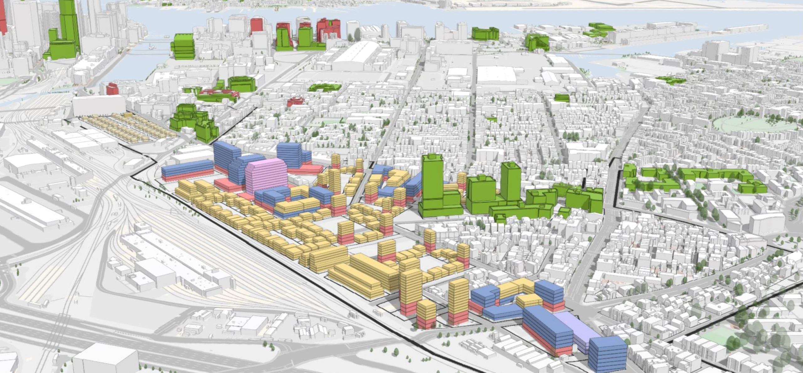
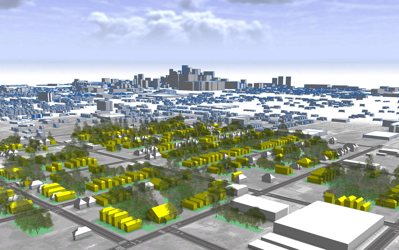
I’m writing this blog from the Intergeo conference in wonderful Essen, Germany. The whole motto of the conference is “Digital Twins”. We’re here in full force showcasing many of our fantastic Esri products, telling our 3D story, connecting the dots behind Digital Twins…it’s very interesting to be here, to see how people’s definitions of Digital Twins vary across industries, products and capabilities. It’s equally as interesting to be showcasing the new ArcGIS CityEngine 2022.1.
One of the main features we worked on for the ArcGIS CityEngine 2022.1 release is the connection between ArcGIS Urban and ArcGIS CityEngine. You’ve been asking (rightfully so) for the possibility to save changes per scenario, search for ArcGIS Urban models by name in the Navigator etc.
Now you can do all this with the Urban Integration …and much, much more.
Keep reading for some major updates in our tutorials (these will help you reach expert level in no time), some crisp high resolution basemaps (8k who dis? – also no more nasty server time-outs when downloading the basemaps – sorry about that!) and lots of other improvements.
Drawing and editing shapes and streets
We’ve made many improvements to streets and blocks for improved performance when drawing and editing street networks, including:
- A new Reverse Direction tool to the Graph menu reverses the direction of graph segments.
- A new Intersect Segments tool option in the street creation tools automatically creates a node where segments cross each other.
- The Smart node type has been removed and the default type for nodes is now Crossing — this avoids unwanted roundabouts at street ends when importing or drawing streets. When loading an old scene, the Smart type is replaced by the current node type.
Integration with ArcGIS Urban

This newest release also brings major enhancements to ArcGIS Urban integration, including the following:
- Improved the Save changes to Urban tool: it is now possible to save changes per scenario to ArcGIS Urban.
- The Save changes to Urban dialog box now shows improved error messages when there is insufficient permissions, and a warning when the zoning and building types have been changed.
- You can now search in Navigator for ArcGIS Urban models by name, and the Navigator preview also shows meta info and a preview of ArcGIS Urban items.
- The ArcGIS Urban tab now directly lists all available plans and projects of a model and no longer filters out models that require updating in the app.
Additional improvements
Inspector
- Added a new feature that allows you to copy and paste rule attributes from one shape to another to make the styling of street networks simpler.
- Added copy and paste functionality for street parameters.
- Added copy and paste functionality for object attributes.
- Improved the performance of the Inspector when working with shapes with many attributes.
Get Map Data improvements
- You can now download basemaps and elevation maps at 8K resolution in Get Map Data.
- Sped up downloads and now Get Map Data avoids a download error when selecting small extents.
Procedural modeling language (CGA)
Alongside general performance improvements, we’ve also added the new splitAndSetbackPerimeter operation. Designed with the perimeter block development in mind, this operation splits the perimeter of a polygon into sections and applies individual setbacks for each of them. You can use this to create a set of building footprints.
See the CGA changelog for a comprehensive list of changes and bug fixes.
For a complete report of all updates, including additional improvements to import and export functionality for Unreal/Datasmith, USD, glTF and more, see the release notes.
New and Updated Tutorials
Reorganized the ArcGIS CityEngine tutorials into new thematic categories: the Essentials and Classic Tutorial Series. The Essentials tutorials are presented in a storytelling format, while tutorials in the Classic Tutorial Series are structured in workflows and center around specific features of ArcGIS CityEngine.
New Essentials tutorials

- Work with GIS Data—Learn about taking your own GIS data such as parcels in a geodatabase, cleaning the data up, and generating 3D city models for land-use planning.
- Rule-based modeling—Learn the essential concepts of CGA rules and how to author CGA rules to generate 3D buildings from footprints.
Refurbished Classic Tutorial Series

Added streamlined workflows and new images to the following tutorials:
- Tutorial 2: Terrain and Dynamic city layouts—Learn about terrains and how to create streets on the terrain using dynamic city layout tools.
- Tutorial 3: Map control—Learn how to use maps to control attributes such as land use to drive the visualization of buildings.
- Tutorial 4: Import streets—Learn how to import streets for different data types, including DXF, OSM, and shapefile.
- Tutorial 5: Import initial shapes—Learn about importing data of different formats such as OBJ, FBX, or USD, and workflows to process them further.
ArcGIS CityEngine User Meeting
Our annual CEUM is taking place next month! Join us virtually on November 10th to hear the latest from the development team, as well as special presentations from ArcGIS CityEngine users. Have an idea you want to share with the community? Send an email to info@vrbn.io with your presentation pitch!
Want to stay up to date on all things CityEngine? Sign up for the ArcGIS CityEngine newsletter to get all the latest and greatest news. If you’re new to ArcGIS CityEngine, try a 21-day free trial to take it for a spin!


Most of the links in this article are dead and result in a “Server not found” error. You may wish to correct this.
Thanks for flagging, Marco – they’re corrected now!