It has been awhile since we released Esri CityEngine 2011 at the EUC in Madrid. In the last month we have been working hard on an ArcGIS – CityEngine urban planning example and we are happy to let you know it is available for download now in the gallery section on the CityEngine resource center.
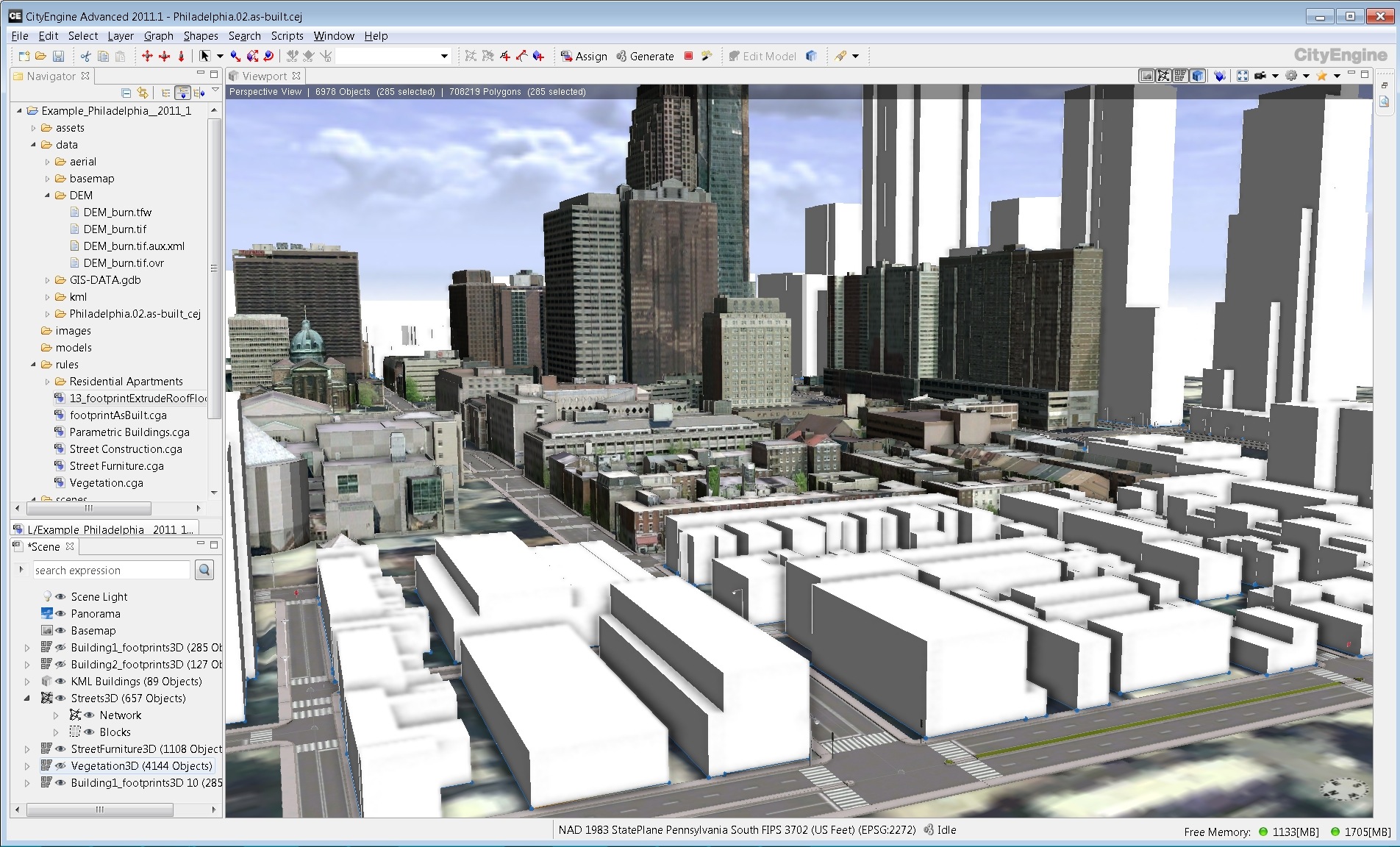
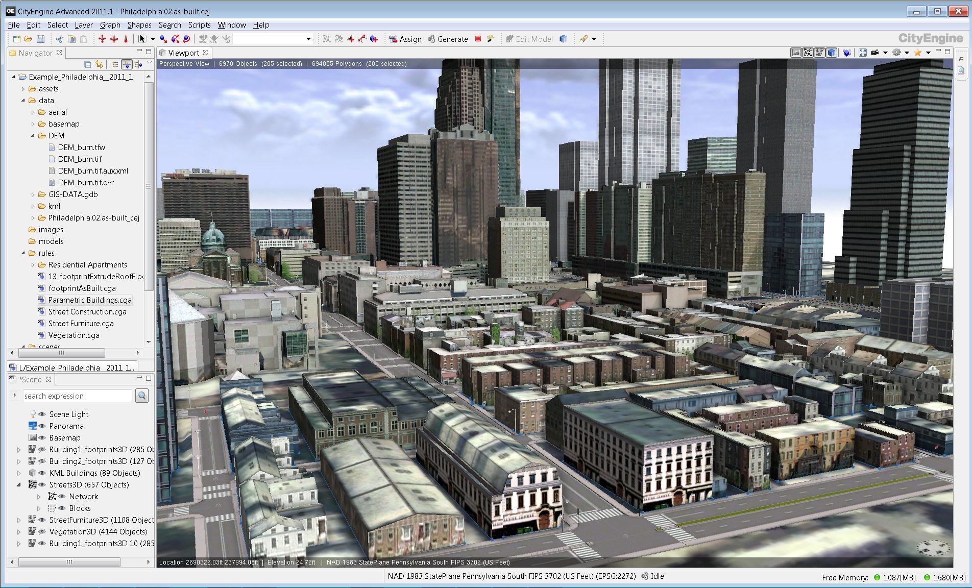
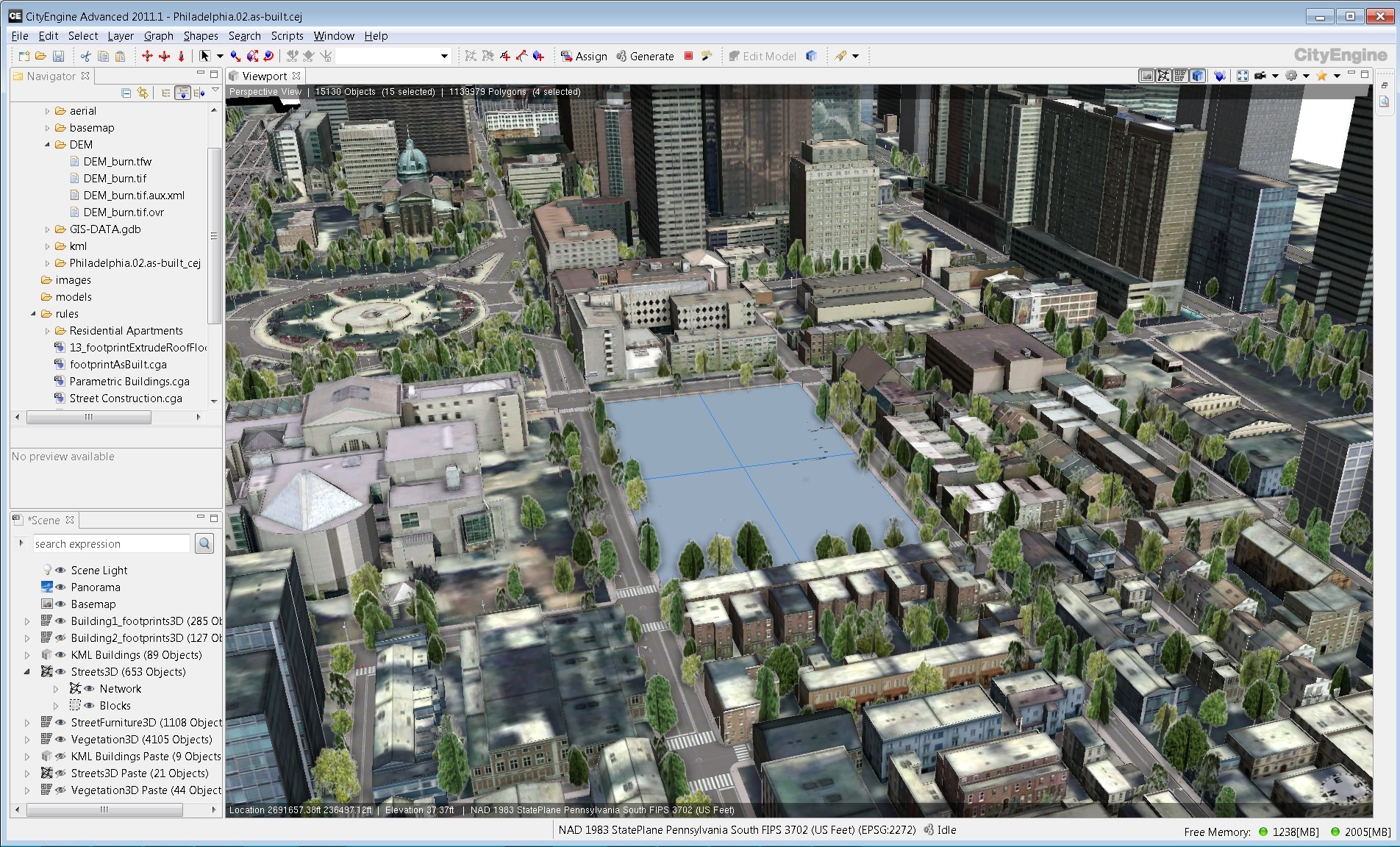
This example highlights how CityEngine can be used to create and design 3D urban content based on GIS data input such as building footprints and street lines with attributes.
Starting point is a 3D geodatabase with:
-
building footprints with attributes such as ridge height, eave height and roof form
-
street center lines with attributes such as street width
-
vegetation locations with attributes such as vegetation type, rotation and size
-
street furniture locations with attributes such as furniture type, rotation and size
The example comes with a set of rules that allow you:
-
turn your building footprints into 3D textured buildings
-
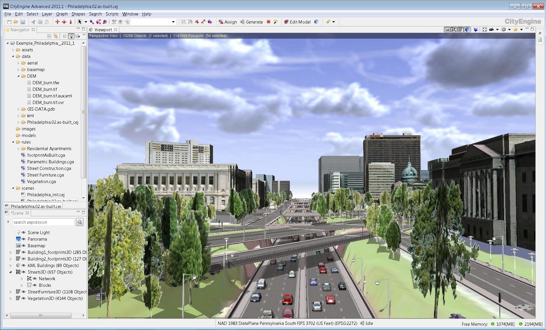
turn your street center lines into 3D streets.
-
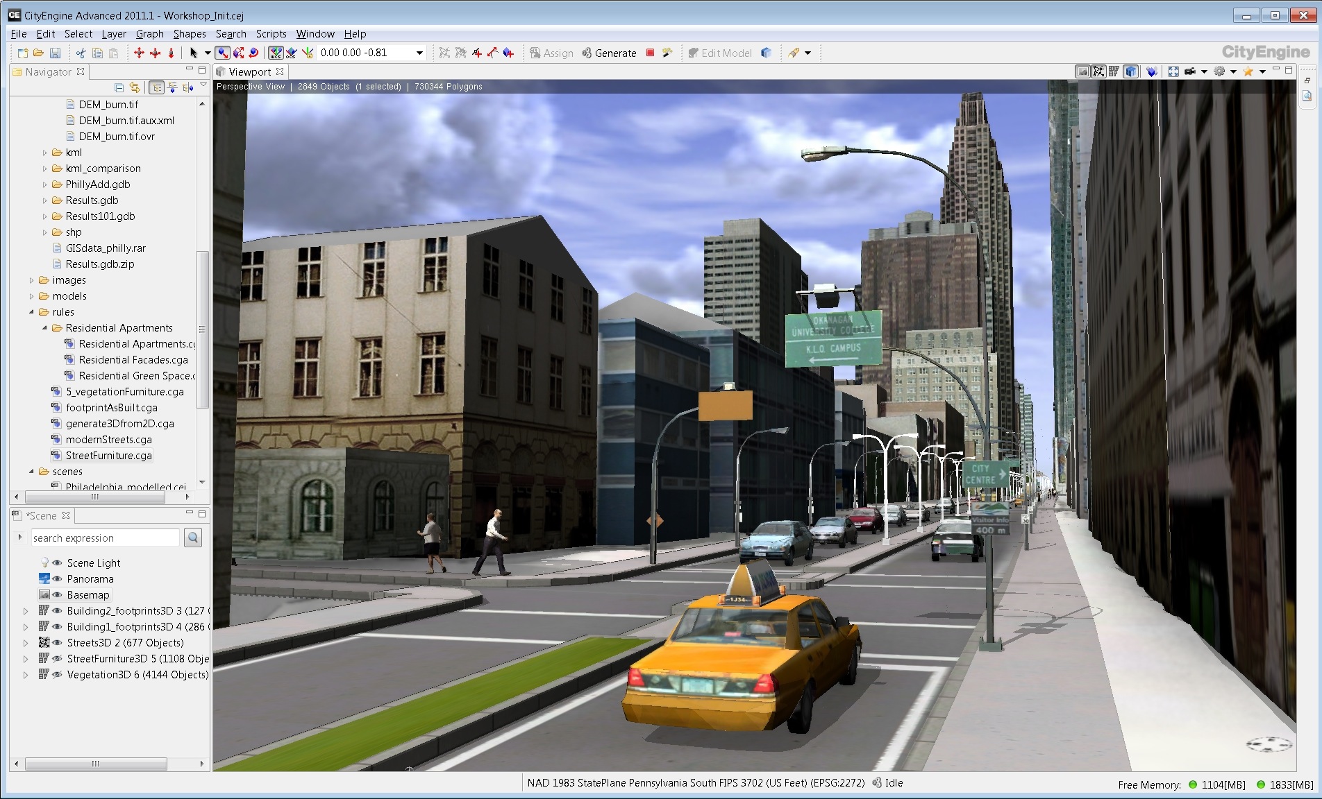
turn your vegetation and streetfurniture points into 3D models
-
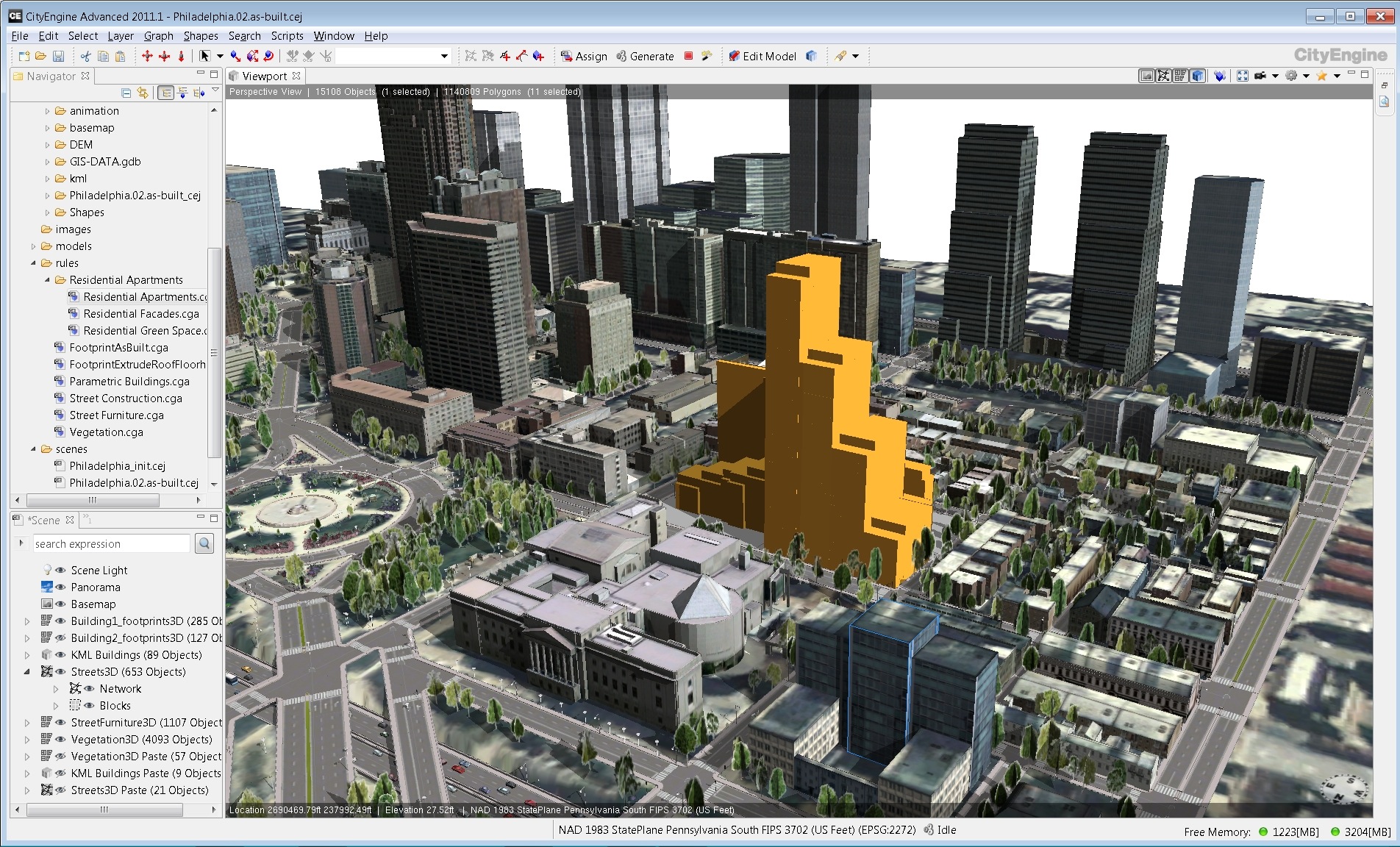
Import existing 3D content such as 3D buildings, trees, cars and street furniture
-
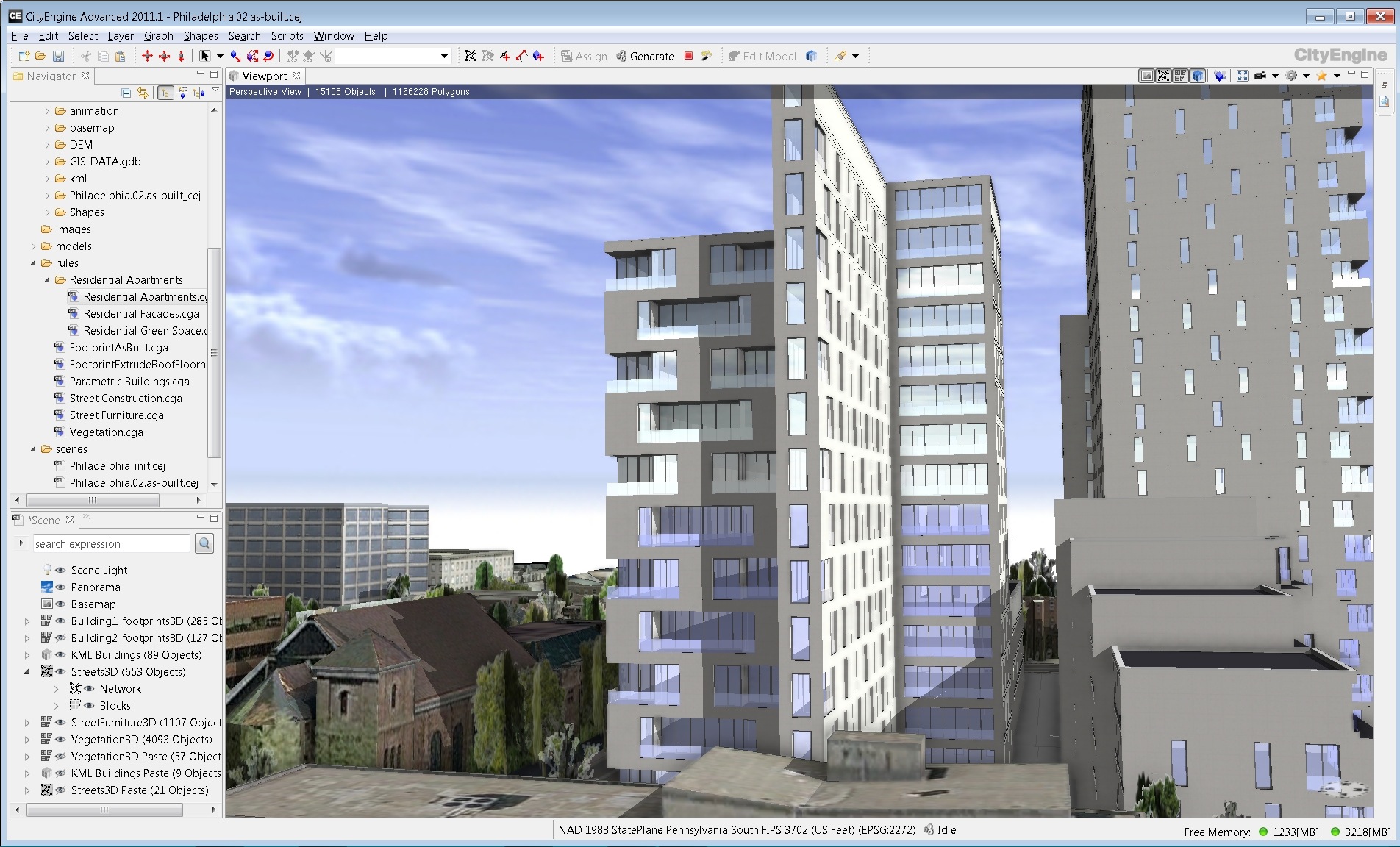
do a redesign on any part of the city
You can download this CityEngine: Philadephia example in the gallery section on the CityEngine resource center.
For more information on how to:
-
bring your CityEngine models back into ArcGIS
-
turn your 2D features into 3D
go to the gallery section on the CityEngine resource center and have a look for the CityEngine to ArcGIS and 2Dto3D templates.
Enjoy…
Gert
Esri R&D Center Zürich



Commenting is not enabled for this article.