Imagery can be hosted, visualized, analyzed, and shared in ArcGIS Online, which assists organizations in managing and sharing their imagery data without the need for infrastructure. Once you have all your imagery data organized, ArcGIS Online allows for analysis workflows, including deep learning. For this release, there are several upgrades to the user experience for raster analysis in Map Viewer, including:
- Adding multi tab viewing for raster function editor to switch between several raster function templates.
- Improved display of the multidimensional slider to remain visible when the raster function editor is enabled
- Enhancements for raster functions
- Adding the Geographic transformation environment setting to allow control over the transformation
- Raster Function Templates in ArcGIS Living Atlas
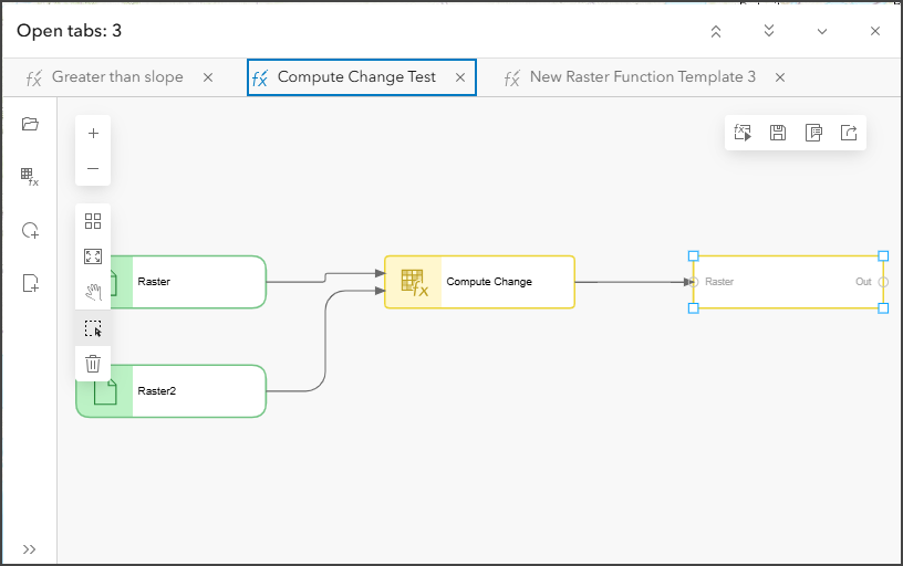
Multi tab viewing raster function templates
The Raster function editor has been enhanced to allow multiple raster function templates to be opened and stored as tabs in the Raster function editor. You can switch between the different raster function templates to make any edits. You can add raster function templates that you have created before or add new raster function templates from the Raster Function Templates pane in Map Viewer.

Multidimensional slider visibility
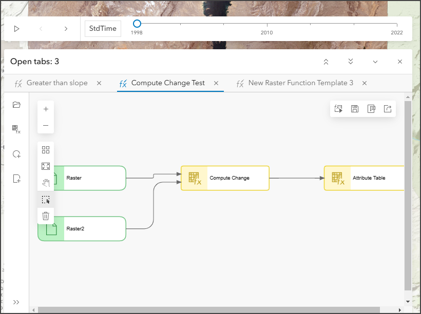
The Multidimensional slider will remain visible and on top of the Raster Function Editor when it is open to allow you to display the multidimensional imagery layer as desired. Previously the Multidimensional slider would remain fixed at the bottom of the map, which may make it difficult to determine which slice is being displayed. With this update, the multidimensional slider will be visible on top of the Raster Function Editor when it is open.
The Time slider will also reposition on top of the Raster Function Editor.

Enhancements for raster functions
Distance Accumulation and Distance Allocation raster functions have two new options for the Vertical factor parameter: Hiking time and Bidirectional hiking time. The performance of these tools has also been improved if the Distance method parameter value is Geodesic, or if the Vertical factor or Horizontal factor parameters are set.
New Raster Analysis Environment setting: Geographic Transformations
There are many different Environment settings available to customize raster analysis in Map Viewer. The latest addition to the other environment settings is the Geographic Transformations setting which allows you to specify transformation methods that can be used to project data during raster analysis. The environment settings can be customized for individual raster analysis tools or for the web map.
Raster Function Templates in ArcGIS Living Atlas
There have been two new raster function templates to use in your analysis, including:
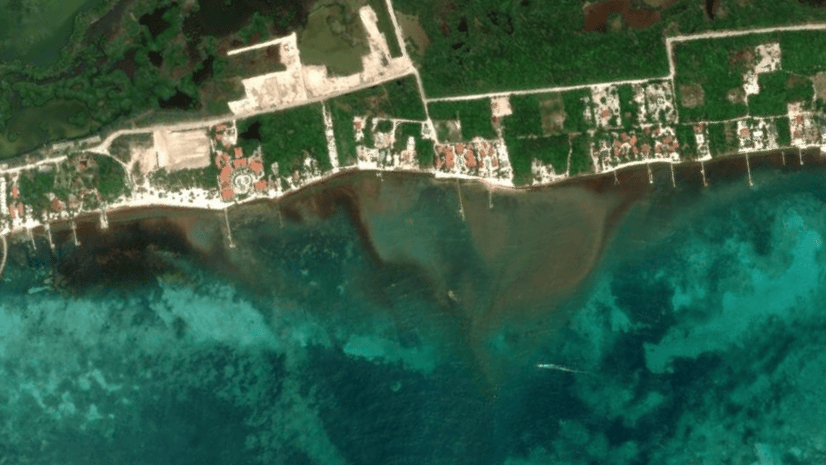
Monitoring Algae Bloom Concentration In Turbid Waterbodies – This raster function template uses the Normalized Difference Chlorophyll Index (NDCI) to monitor phytoplankton abundance in water.
Create Cloud Free Image Composite with Landsat Level-2 – This raster function template is designed to create a cloud-free image composite using the Landsat Level-2 layer, which is accessible through the Living Atlas of the World.
Ready to take the next step?
As an ArcGIS Online user, you can start exploring these new imagery capabilities today. The Product Team is interested in your thoughts and ideas as you explore. Influence the direction of future releases when you visit us and leave a comment via the Imagery in ArcGIS Online community on Esri Community.
Are you interested in further exploration of imagery in ArcGIS Online can do for you? Watch a demo and see what others are saying about the product, such as Skytec, LLC, the City of Johns Creek, and the City of Yakima. You can also read a case study from the National Trust from the United Kingdom.


Article Discussion: