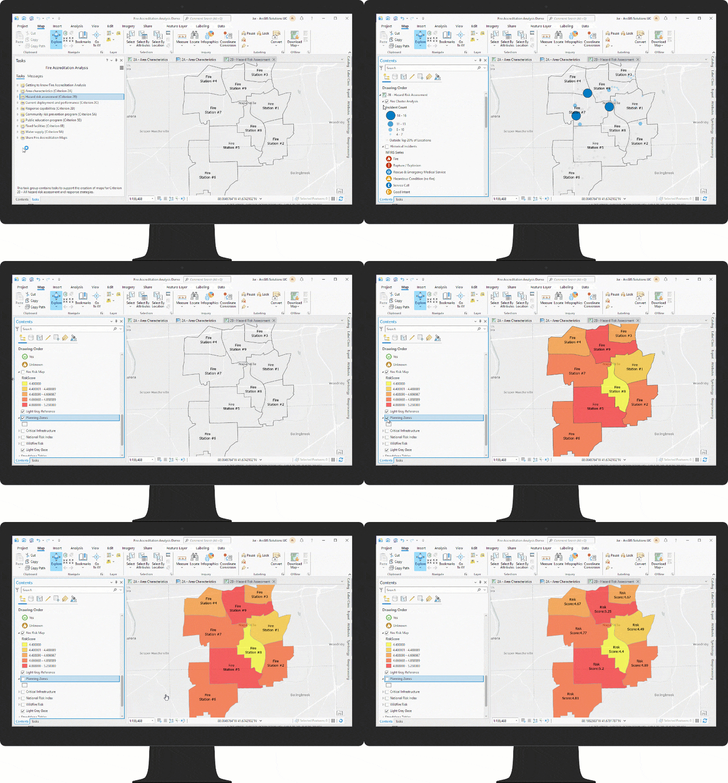
Fire departments and fire agencies regularly evaluate their strengths and weaknesses, encourage quality improvements, and measure service delivery. Empirical evidence and comparative benchmarks that measure service delivery are encapsulated in regular reports (for example, Accreditation, Community Risk Assessment, Standards of Cover, and Annual Reports) and used to review a fire agency’s service delivery. Maps are a major component of these standard reports, and spatial analysis is required to measure service delivery and demonstrate progress.
The Fire Accreditation Analysis solution delivers a set of capabilities that help fire agencies complete a standard set of spatial analysis workflows and generate a series of maps that conform with the spatial requirements included in the Commission on Fire Accreditation International (CFAI) Accreditation Model Information Technology Specifications.
Create fire accreditation maps
The Commission on Fire Accreditation International (CFAI) and the Center for Public Safety Excellence (CPSE) work with fire agencies around the world to encourage continuous improvement and promote standards of excellence. This accreditation process demonstrates that a fire agency is committed to continuous improvement, efficient community service, and a fair and safe work environment for all personnel.
The 10th Edition of Commission on Fire Accreditation International (CFAI) Model contains 11 unique criterion and over 40 different core competencies or performance indicators. Although all these criteria must be documented, not all of them can be mapped. As a result, the (CFAI) Model Information Technology Specifications provide a list of spatial data required for the accreditation process. For each spatial data element in the list, there is a reference to the core competency or performance indicator used in a map that supports the criteria. Producing each of these information products can be time consuming and data intensive.

The solution provides a structured set of tasks that reduce the time it takes to conduct the required analysis and increase the quality of the fire accreditation maps. The maps represent area characteristics, risk assessment that utilizes cluster analysis and a two-axis methodology of probability and consequence, response capabilities, risk prevention, and more. Infographics, tables, and charts can also be exported with the ArcGIS Pro project to support your accreditation documents.
Share fire accreditation maps
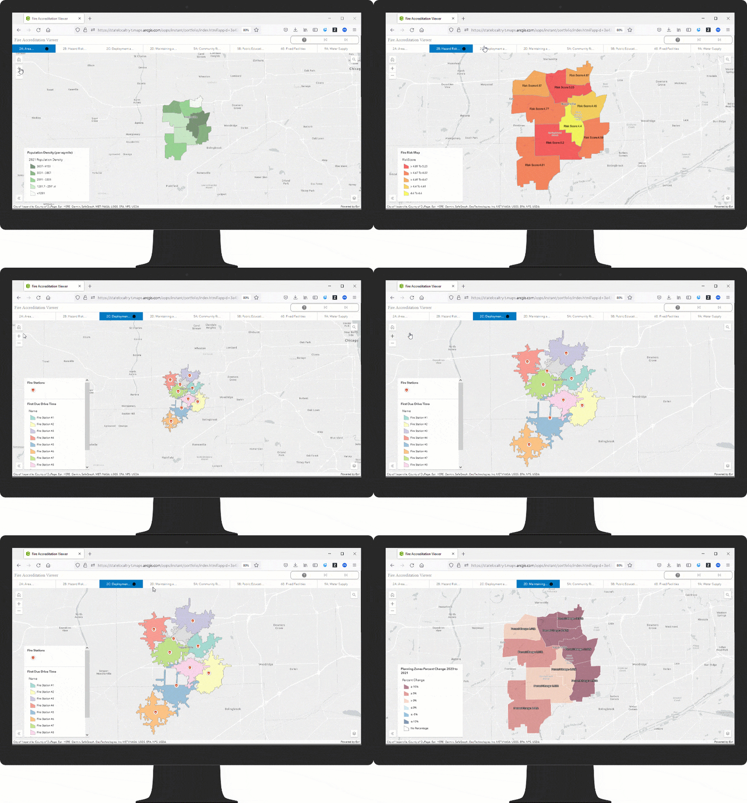
Fire accreditation maps and geospatial content created with the Fire Accreditation Analysis project can be shared with others in your organization with the Fire Accreditation Viewer app. Sharing maps can be especially valuable during the accreditation process to ensure that the correct information is included in accreditation documents.

Additional Resources
Learn more about the Fire Accreditation Analysis solution and how you can quickly deploy this solution on the ArcGIS Solution site. For questions and feedback, chat with us on Esri Community or contact Esri Support Services.
Article Discussion: