ArcGIS Solutions helps you make the most of your GIS by providing purpose-driven, industry-specific configurations of ArcGIS.
Perhaps more than any other emergency service, firefighting is the stuff of legend. But legends don’t exist in a vacuum. The strategy and organization behind the scenes are equally as critical as what happens during actual emergencies.
The Commission on Fire Accreditation International (CFAI) and the Center for Public Safety Excellence have established an accreditation process for fire agencies. An agency that successfully achieves and maintains accreditation has demonstrated that it is committed to continuous improvement, serving its community efficiently, and providing a fair and safe work environment for all personnel.
Kindling the fire
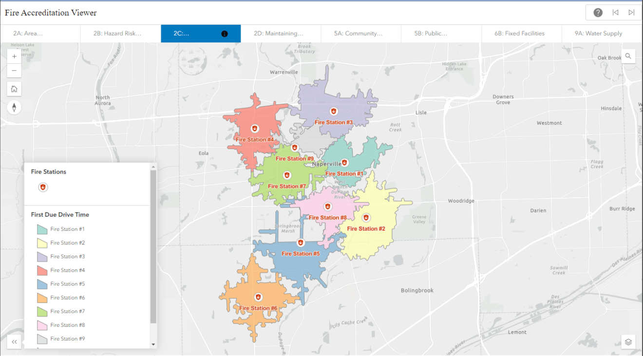
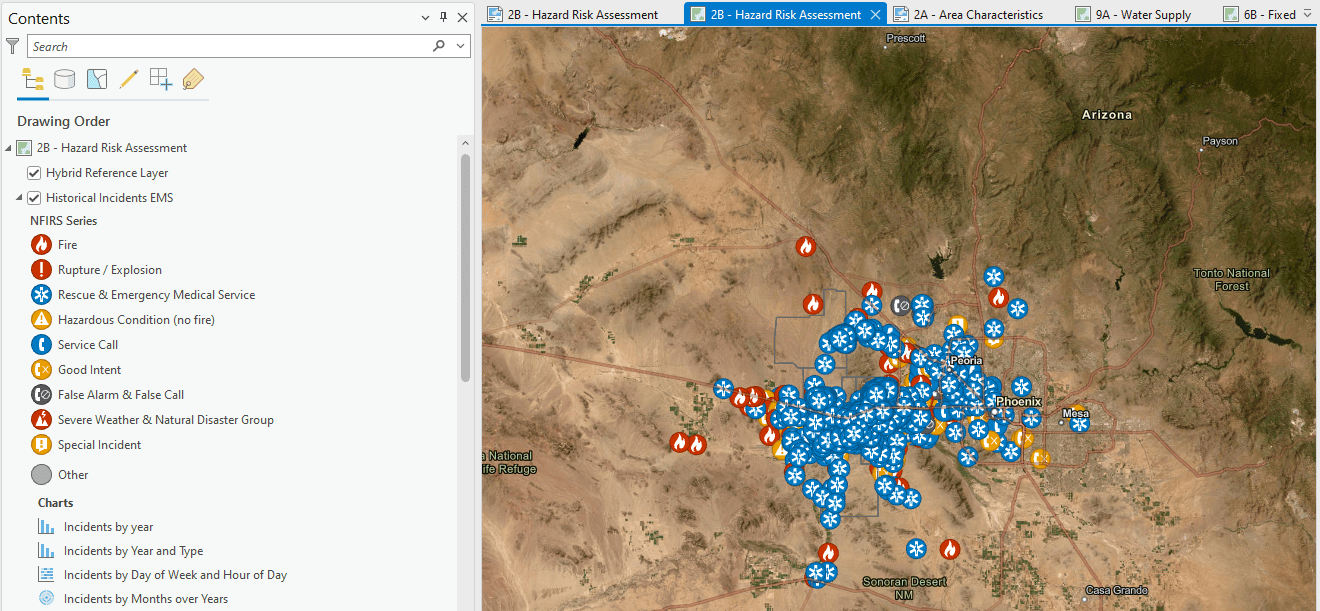
The path to accreditation is both rigorous and eye-opening, with a process focused on self-assessment, establishing a Standard of Cover, and planning, and it typically takes two to three years to complete. It requires applying agencies to take a hard look at all manners of service delivery. Several areas of focus are innately spatial, such as visualizing planning zones, mapping incident locations, and conducting drive-time analyses for apparatus. That’s where our Fire Accreditation Analysis solution comes in.
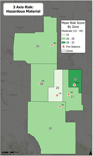
Fire Accreditation Analysis helps GIS analysts complete relevant spatial analysis workflows and generate maps that conform with the spatial requirements of the accreditation process. It also includes support for the three-axis method for hazard risk assessment, a method that looks not only at the probability and consequence of an incident but also its impact. Bottom line? With this solution, fire agencies can spend less time conducting these analyses while also increasing the quality of their fire accreditation maps.

Trial by fire
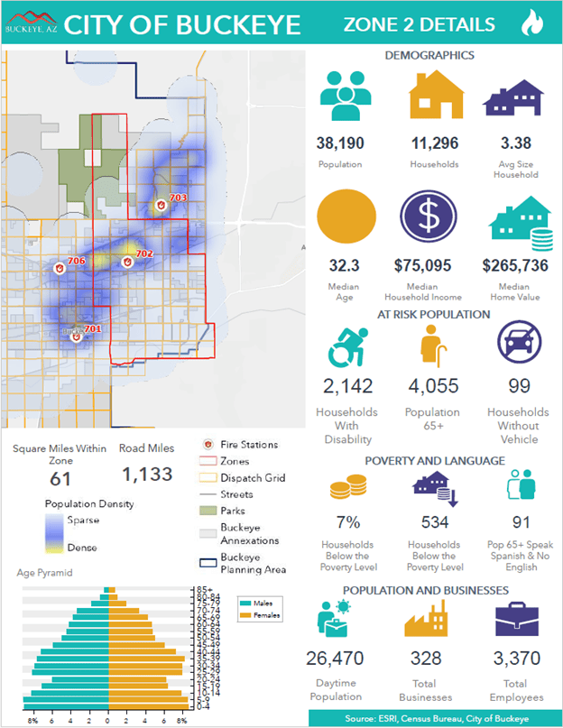
At more than 640 square miles, Buckeye, Arizona, is one of the largest and fastest-growing cities in the United States, and it is only 14 percent built out. Providing fire protection for this Phoenix suburb isn’t easy. But the Buckeye Fire-Medical-Rescue Department is equipped with six—soon to be seven—fire stations and more than 135 personnel, and it continues to grow to meet the community’s ever-expanding needs.
When city GIS Analyst Nicole Denecour was tasked with seeking out fire accreditation, she knew it would be a monumental task. Not only would it be the department’s first accreditation cycle, but it had never completed a hazard risk analysis before. Additionally, Fire Chief Jake Rhoades had requested a three-axis analysis because it would provide a more holistic picture of risk than the two-axis method; it would also be much more involved and cumbersome to complete.

The City of Buckeye’s GIS team was quite familiar with ArcGIS Solutions, having already implemented various solutions for both the fire department and the city. When they learned that ArcGIS Solutions was adding support for the three-axis method to its Fire Accreditation Analysis solution, they volunteered to beta the update.

Fired up
Working closely with fire department personnel, the GIS team configured the solution to best fit the department’s requirements. They found it easy to adjust the criteria and rerun the analysis and were happy to discover that using the solution saved them valuable time and GIS resources.
The accreditation process, with its many categories and subcategories, can be somewhat daunting when it’s first presented. The solution provided a GIS-specific guide to seamlessly support the fire department towards their accreditation goal.
“The solution made incorporating the third axis a breeze,” says Denecour, who explains that previously, three-axis analysis had only been completed theoretically. “It was exciting to run the analysis on real data!” And, looking ahead, Denecour notes that when they apply for reaccreditation in a few years, they will be able to pick up right where they left off.

Fire Accreditation Manager Nicholas Cunningham was pleased with the experience. “Collaborating with the City of Buckeye GIS team to develop our Standards of Cover document was a top-notch experience from the get-go,” he says. “The Fire Accreditation Analysis solution they instituted helped our team develop an innovative, visually appealing, outcome-driven publication that will serve us well into the future.”
A fire in the belly
Buckeye Fire received international accredited status in early August 2024. But even with this outstanding achievement, they aren’t resting on their laurels. Instead, they’re looking ahead to reaccreditation and discussing ways to use Fire Accreditation Analysis for more complex analyses. First up is to add in the reduction of risk score for sprinklered buildings and the increase in risk score for buildings with known hazardous materials. To prepare, the department is using the Pre-Incident Planning solution to collect data for this analysis.
Don’t be surprised that Buckeye Fire is planning ahead. With accreditation, they’ve proven that they are always prepared and ready to roll.
Learn more
For more information about the Fire Accreditation Analysis solution, check out the following resources:
- Learn how to deploy, configure, and use the solution.
- View a demo video.
- Discover related solutions:
- Explore additional content:
- Learn more about ArcGIS Solutions.


Commenting is not enabled for this article.