What’s New with ArcGIS Solutions (October 2019)
During the October 2019 ArcGIS Solutions Release 5 new Solution Templates were added to ArcGIS, 16 Solution Templates were updated, and 7 Solution Templates changed lifecycle phase.
ArcGIS Solutions are free and fully supported templates that configure ArcGIS to perform industry specific tasks and workflows.
New Solution Templates
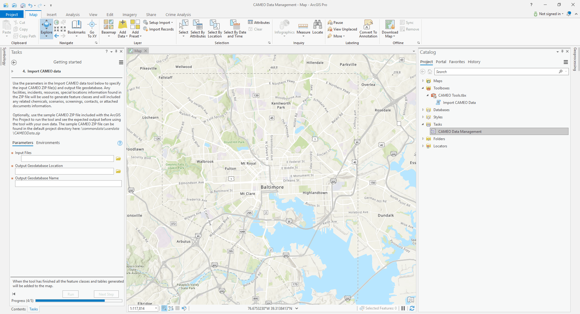
CAMEO Data Management loads CAMEO data into ArcGIS.

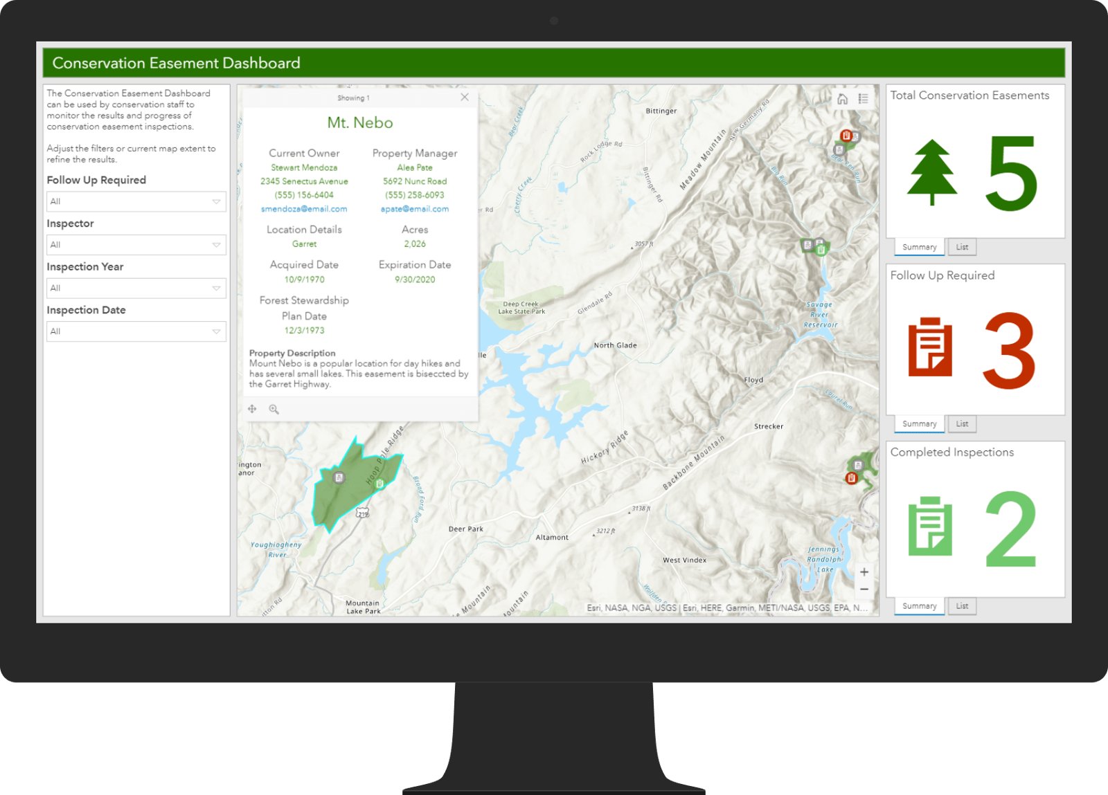
Conservation Easement Monitoring assists conservation staff with managing, monitoring, and inspecting conservation easement areas.

Electric Utility Network Data Loading provides a workflow for loading existing electric distribution and transmission data into the Electric Utility Network Foundation schema.
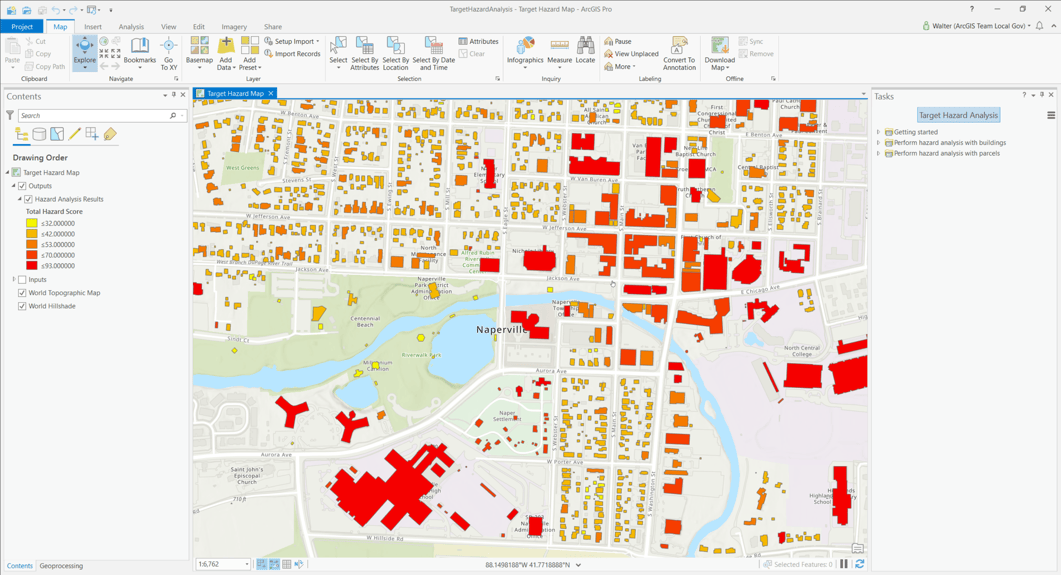
Target Hazard Analysis helps fire personnel score properties and buildings for potential loss of life or other negative community impacts if a fire were to occur.

Water Utility Network Data Loading provides a workflow for loading existing water system data into the Water Distribution Utility Network Foundation schema.
Updated Solution Templates
- Business Resilience
- Coordinate Conversion
- Crash Analysis
- Crime Analysis
- Distance and Direction
- Electric Utility Network Editor
- Electric Utility Network Foundation
- Invasive Pest Surveys
- Market Development
- Military Symbol Editor
- Military Symbology Styles
- Military Tools for ArcGIS
- Multi Source Data Feeds
- Visibility
- Water Distribution Utility Network Editor
- Water Distribution Utility Network Foundation
Lifecycle changes
3D Public Survey moved to the Mature Lifecycle Phase. Capabilities replaced by ArcGIS Urban.
CAMEO Tools moved to the Mature Lifecycle Phase. Capabilities replaced by CAMEO Data Management.
Facility Reports for Gas Distribution moved to the Mature Lifecycle Phase.
Facility Reports for Gas Gathering moved to the Mature Lifecycle Phase.
Facility Reports for Gas Transmission moved to the Mature Lifecycle Phase.
Pole Reports moved to the Mature Lifecycle Phase.
Visualize Proposed Developments moved to the Mature Lifecycle Phase. Capabilities replaced by ArcGIS Urban.

Commenting is not enabled for this article.