ArcGIS Solutions helps you make the most of your GIS by providing purpose-driven, industry-specific configurations of ArcGIS.
This blog was originally published on June 23, 2023, and has been updated.
Spring is here, which means that summer is just around the corner! Family road trips, camping, spontaneous jaunts to the beach! Aaaaand…traffic jams, road construction, and detours of the less-enjoyable variety. Gah.
Long winters and inclement weather paired with a chronic lack of routine road maintenance have led to an increasingly bumpy ride for travelers and commuters. The recent injection of road-improvement funding is good news, but the associated increase in construction work means more roadblocks, closures, and detours. Not helping matters is the uptick in community events that come with warmer weather—summer music festivals, farmers markets, craft fairs—fun stuff but road-closure nightmares. Short of flying cars (an invention that’s still more Jetsons than not), the best defense we have against construction zones and other road closures is information and communication. That’s where the Road Closures solution comes in.
Road Closures includes the tools you need to maintain a road closure inventory and share it with the public on both your organizational website and through popular consumer mapping apps. Here’s how the solution helps you pave the way to a smoother ride:
Maintain an inventory of road closures and detours
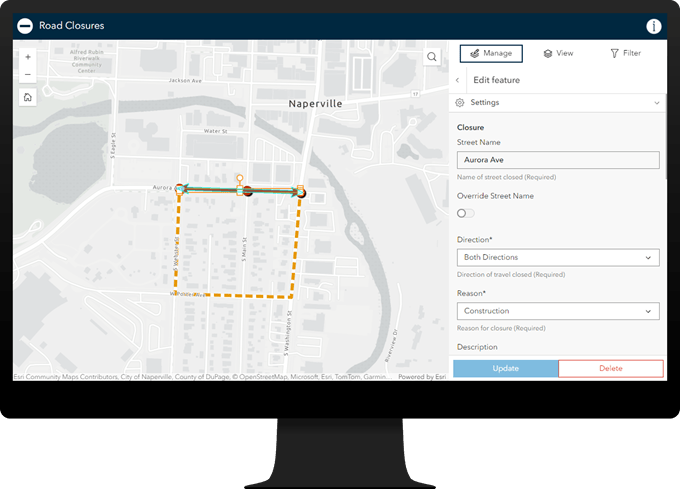
Information about roadblocks, road closures, and detours you add to the Road Closures app appears instantly on an interactive map, helping you understand how road closures and related detours affect the roadways in your community.

Share road closure info with travelers with Esri Community Maps
Travelers depend on real-time road closure information. Are there road hazards to avoid? Which roads are impacted? Is there a faster and, more importantly, safer route to get across town? But most people turn to consumer mapping applications for this information, not local government websites. So how can you get your valuable road closure information in front of them?
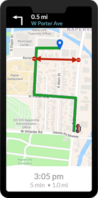
Fortunately, we have a solution for that too! When your road closure information is ready, you can join Esri Community Maps—sign up using your ArcGIS Online organizational credentials—and share your layers with the program. Esri regularly aggregates this shared data and makes it available to participating consumer mapping partners. That means that your community can access your authoritative road closure information from the apps they typically use while driving.

Share road closure info on your public works website
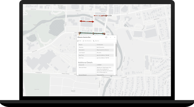
And, of course, you still have the option of sharing road closure info as Open Data and embedding the Road Closures map on your public works website. Adding the map ensures that community members have access to current road closure information if they visit your site.

Regardless of how you choose to share your information, everyone wins. Individually, users benefit from up-to-date travel and commute information. Collectively, the information helps minimize road closure impact, eases congestion, and enhances driver safety.
For public works and public safety departments, maintaining an up-to-date inventory of road closures makes operational sense. For the rest of us, information from the inventory helps make summer road trips fun again. Just don’t forget to pack your sunscreen!
Learn more
For more information about the Road Closures solution, check out the following resources:
- Learn how to deploy, configure, and use the solution.
- View a demo video.
- Learn more about ArcGIS Solutions.


Commenting is not enabled for this article.