The Weather Operational Effects solution is now available to deploy with ArcGIS Enterprise.
Weather, terrain, and time constitute the basic environmental setting for all military operations. These physical conditions affect military operations, systems, and personnel and act as constraints on units. Favorable and unfavorable conditions can impact the overall effectiveness of an operation and pose risks to both personnel and equipment.
However, weather analysis and weather forecasting often are challenges for the military. There are staff and technical limitations that prohibit weather analysis from being fully integrated into the planning process. Units often lack access to meteorological data and the tools required to process and understand that data.
The Weather Operational Effects solution delivers a set of capabilities that help you to understand weather conditions within an area of responsibility, analyze potential operational effects of weather, and share information among staff and leadership.

Expand intelligence capabilities
One of the first steps in preparing for an operation or mission is understanding the operational environment. This includes analyzing the terrain, potential threats, civilian populations, and the weather. This assessment is generally the responsibility of intelligence staff.
Typically the weather tactical decision aids are produced in static paper format by weather specialists at upper echelons. While informative, these products allow for very little configuration or adjustment by the end user.
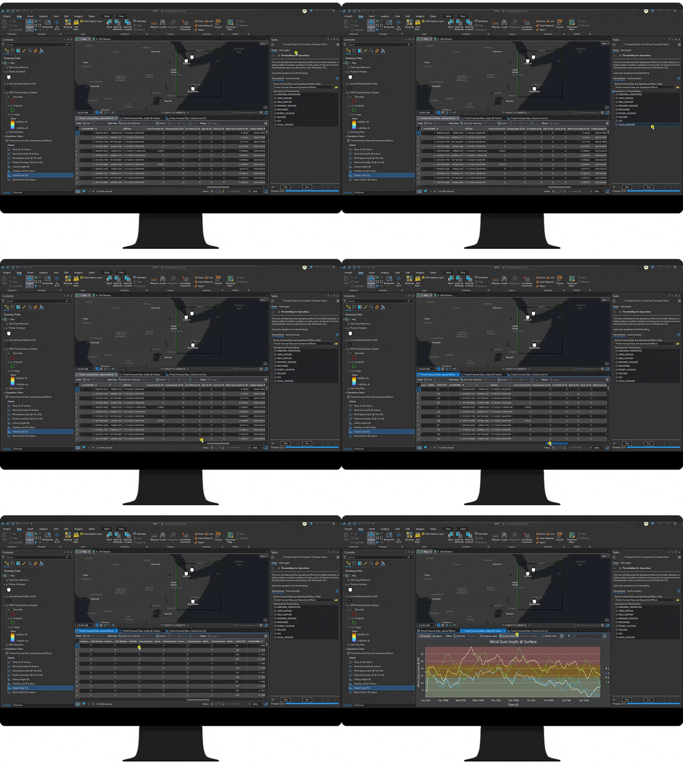
Weather Operational Effects expands unit intelligence capabilities with an ArcGIS Pro project which helps intelligence staff acquire and process weather forecast data. With this forecast data, staff can conduct weather analysis without specialized meteorological training. Additionally, the ability to define the operational environment and analyze weather for specific operation types, enables staff to focus analysis on their unit’s needs and capabilities.
The resulting tactical decisions aids are configurable and interactive, thereby moving beyond typical weather analysis products.

Maximize operational effectiveness
As operations staff plan for future operations and missions, it is critical that they account for weather as a key operational variable.
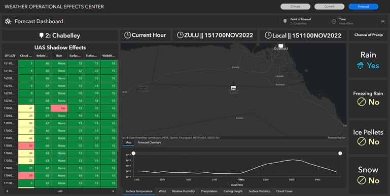
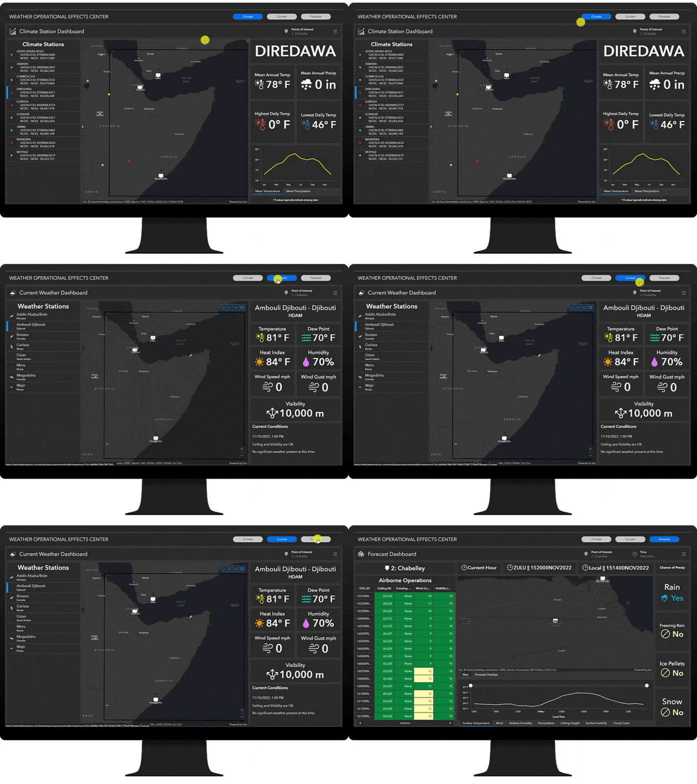
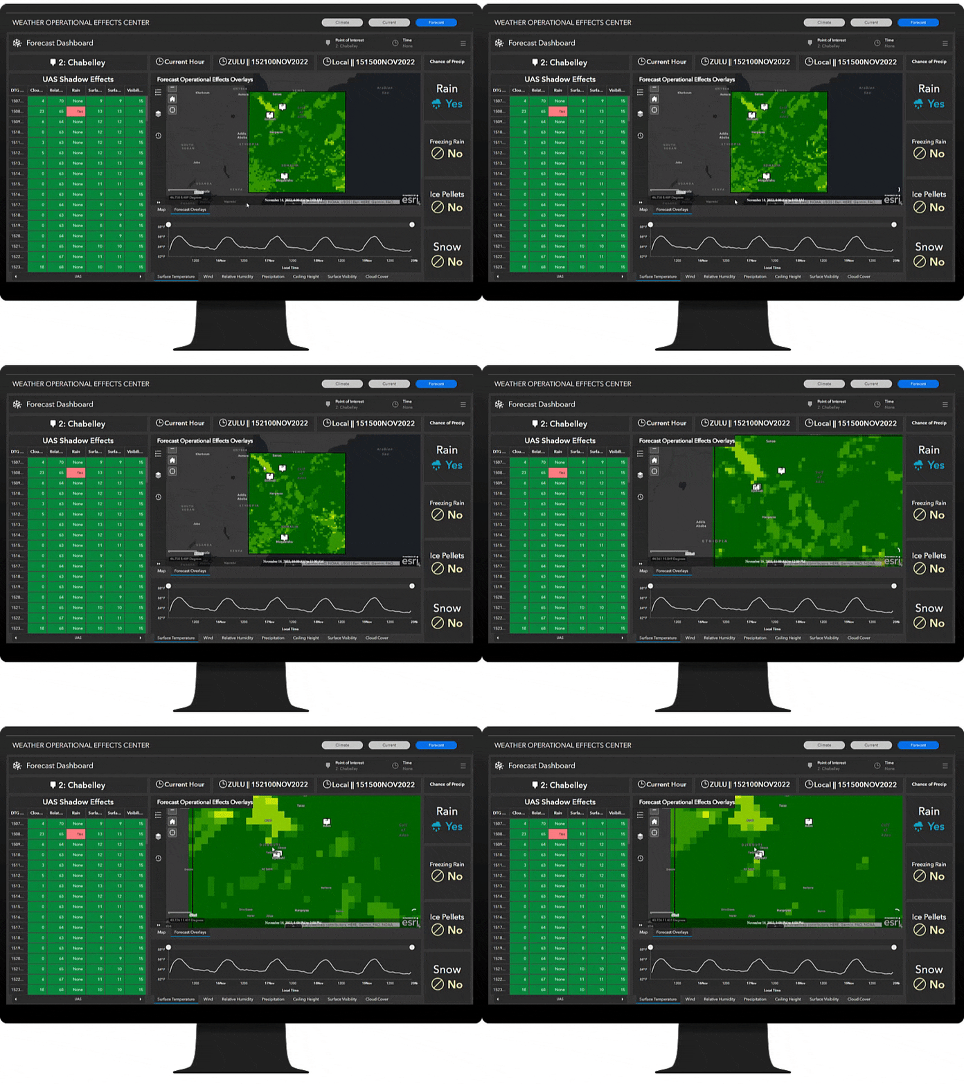
The Weather Operational Effects Center application can be used by operations staff to incorporate comprehensive weather analysis into operational planning. Using the app, staff can review climate data, current weather, and forecasted weather for their area of responsibility. Also, by viewing weather conditions in both space and time, planners can develop courses of action with timelines, routes, and actions which capitalize on favorable conditions.

Reduce operational risk
In all situations, unit commanders weigh and accept the risk of an operation or mission.
In order to make the most informed decisions and reduce risk, leaders should consider all available information. The Weather Operational Effects Center app can be used to view weather effects and then direct missions to avoid times and areas with unfavorable weather conditions.
By avoiding dangerous weather or hazardous conditions, units can save time, save equipment, and save lives.

Additional Resources
Learn more about Weather Operational Effects and how you can quickly deploy this solution on the ArcGIS Solutions site. For questions and feedback, chat with us on Esri Community or contact Esri Support Services.

Article Discussion: