ArcGIS Solutions provides a collection of industry-specific configurations of ArcGIS that align with your organization’s needs, transform your use of ArcGIS, and help you maximize your investment in location-based data and technology.

Hot off the press
Our November 2023 release has seven new solutions ready for state and local governments, utilities, defense, and public safety agencies to deploy.
Here’s what’s new:
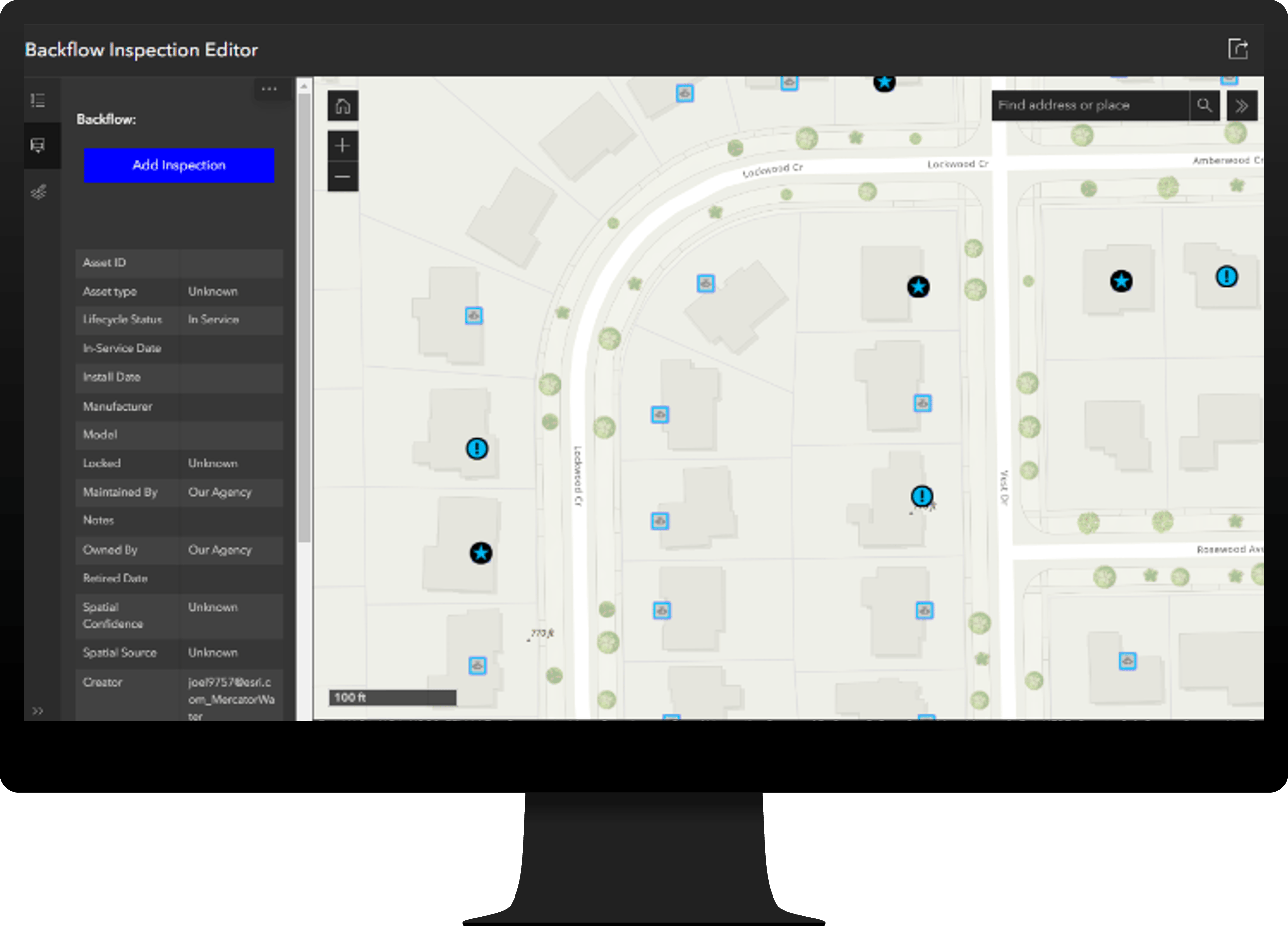
Backflow Inspections
Backflow Inspections can be used to streamline backflow prevention device inspections and understand backflow prevention device inspection status.
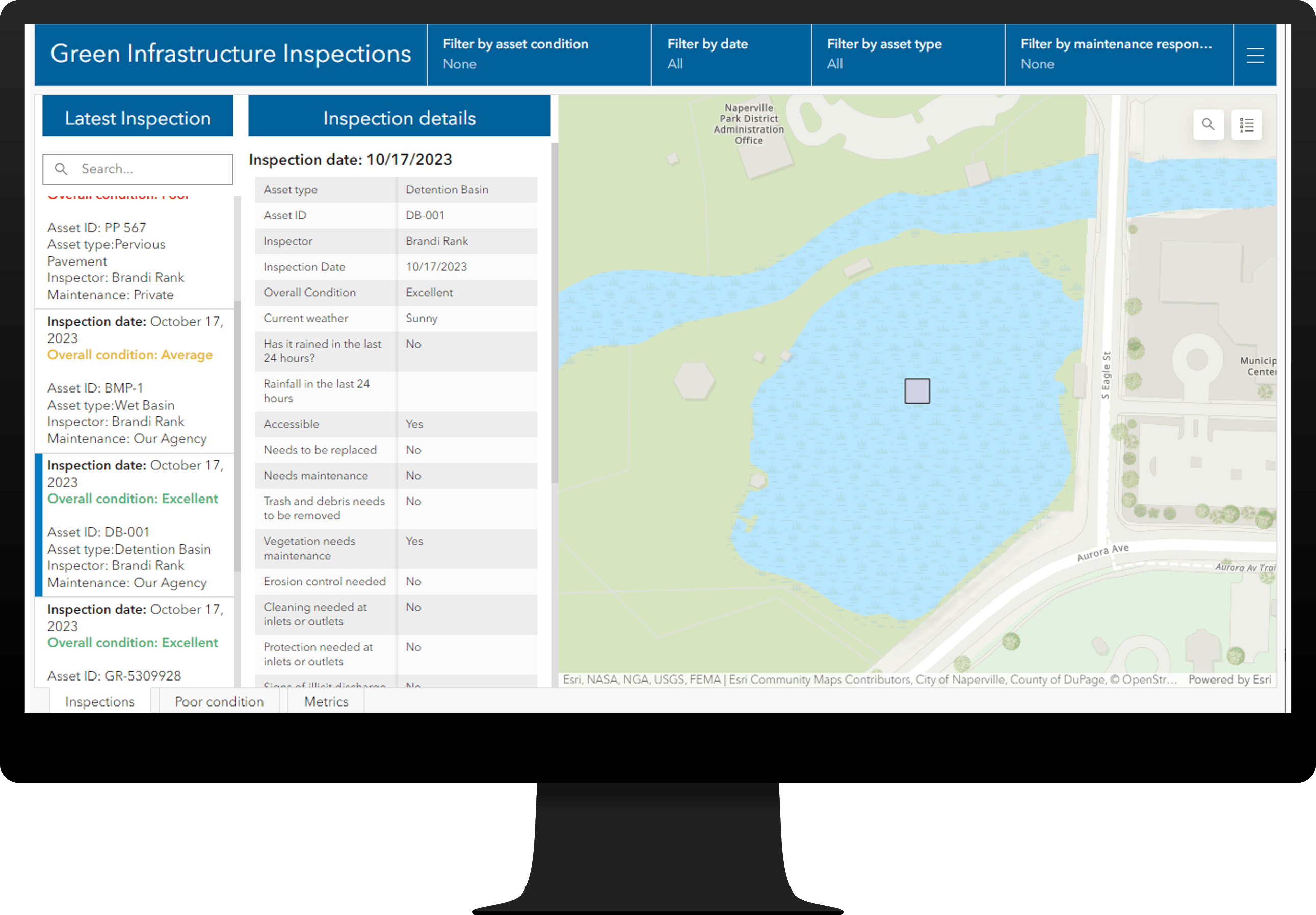
Green Infrastructure Inspections
Green Infrastructure Inspections can be used to assign inspections, record inspections in the field, monitor inspection activities and manage private green infrastructure maintenance activities.
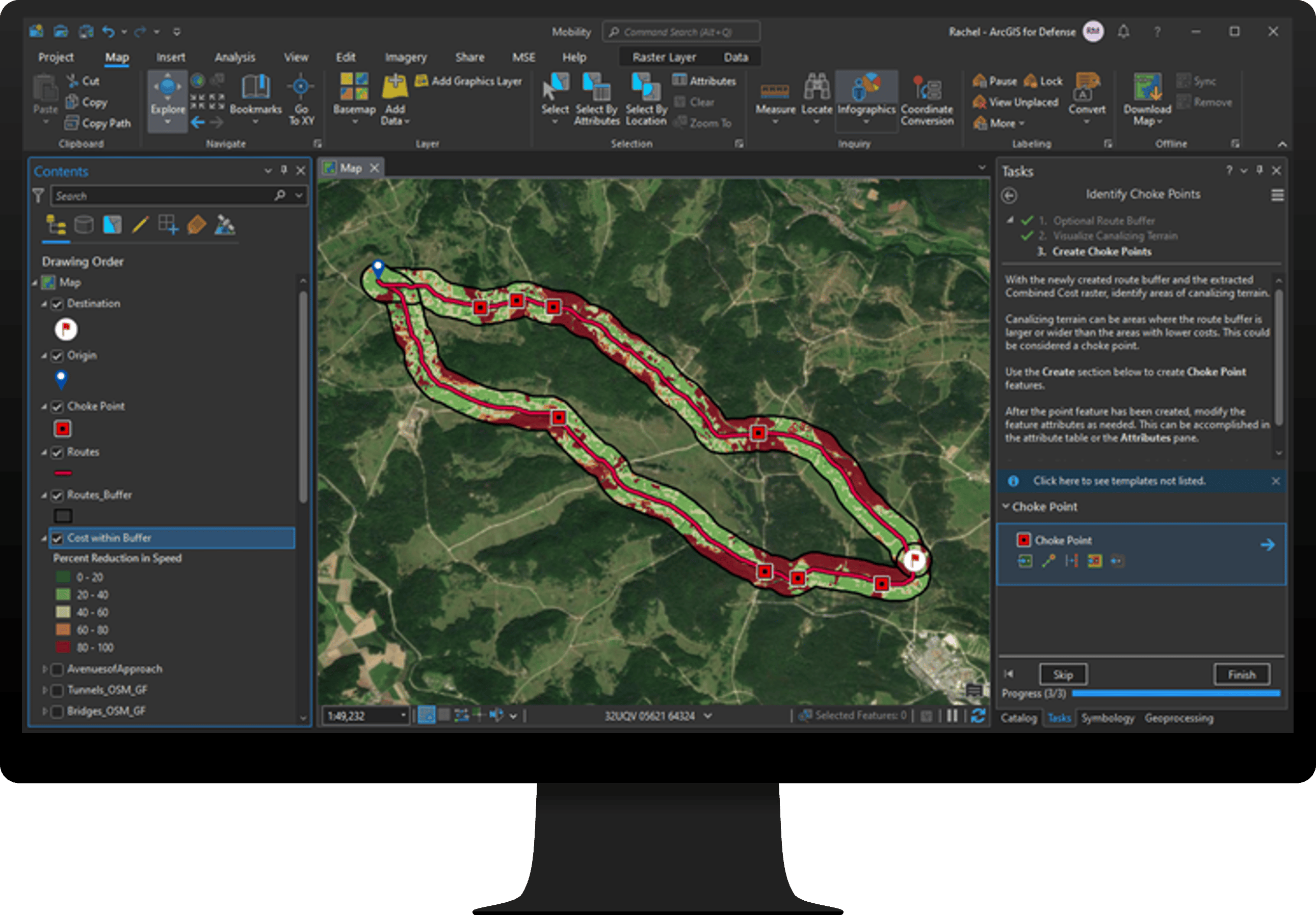
Military Ground Mobility
Military Ground Mobility can be used to conduct cross country mobility analysis and enhance operational planning.
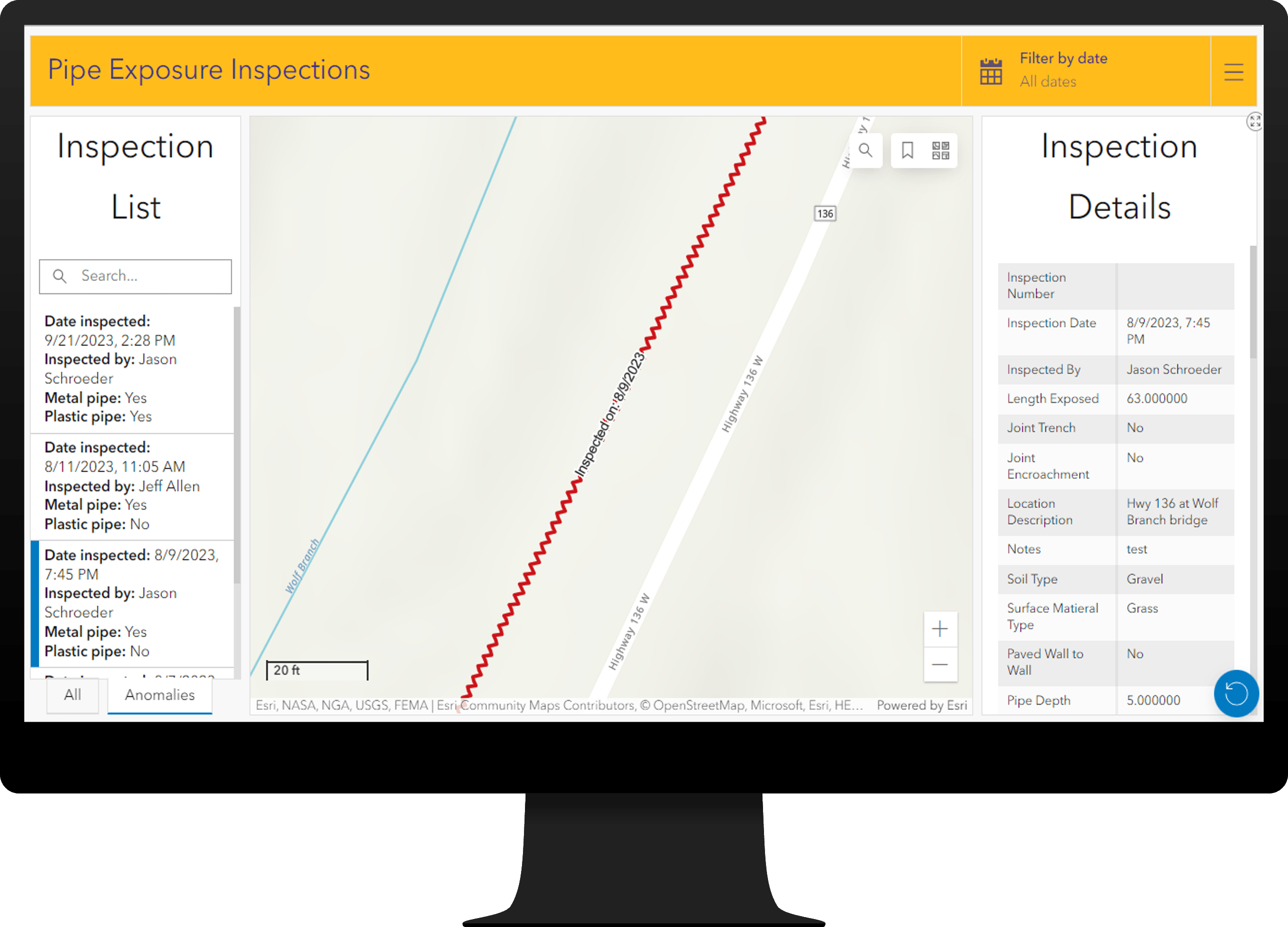
Pipe Exposure Inspections
Pipe Exposure Inspections can be used to document inspections of buried pipes that have become exposed.
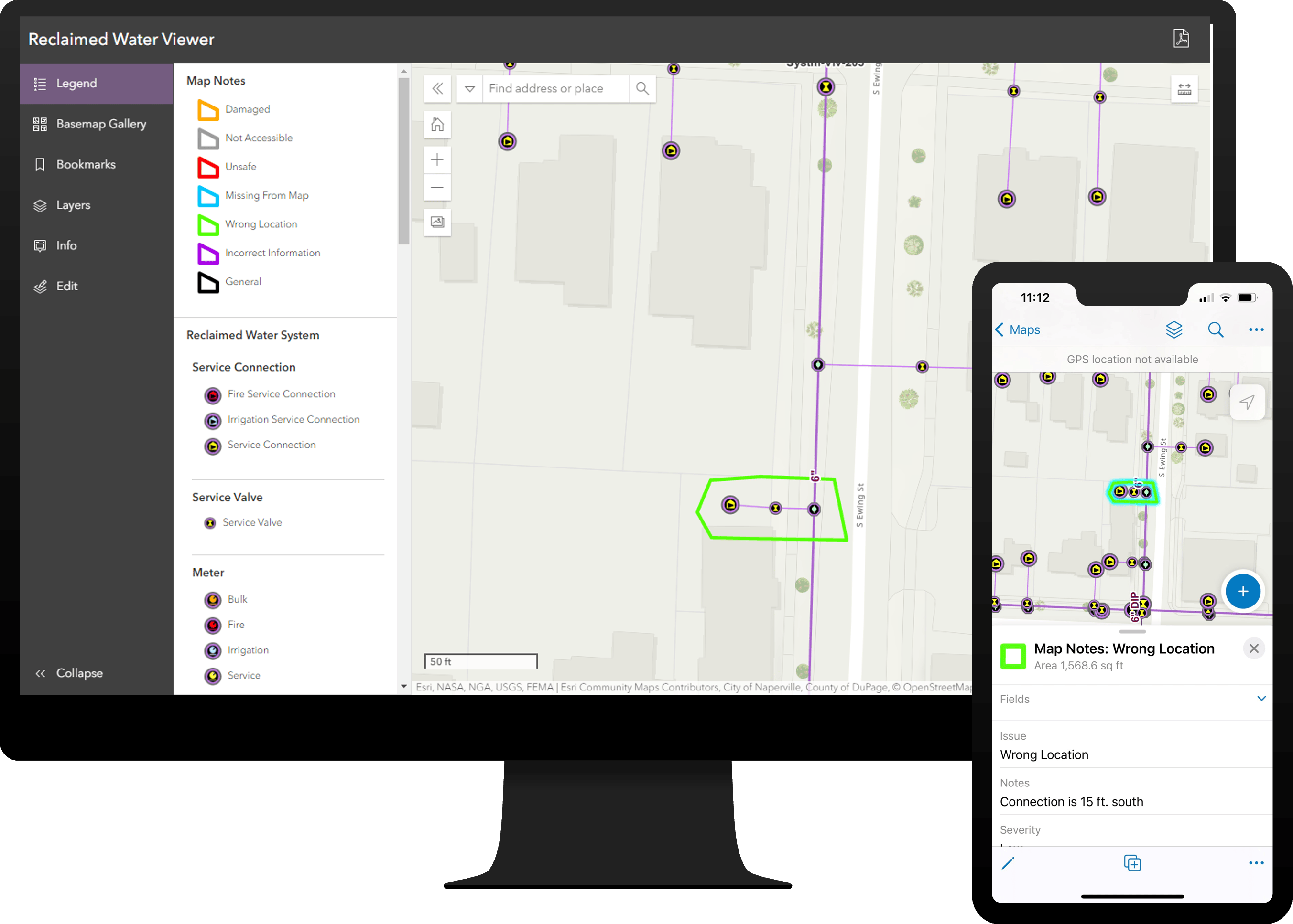
Reclaimed Water Data Management
Reclaimed Water Data Management can be used to map reclaimed water assets, edit data, view system maps in the field and office, view asset reports, and collaborate with map notes.
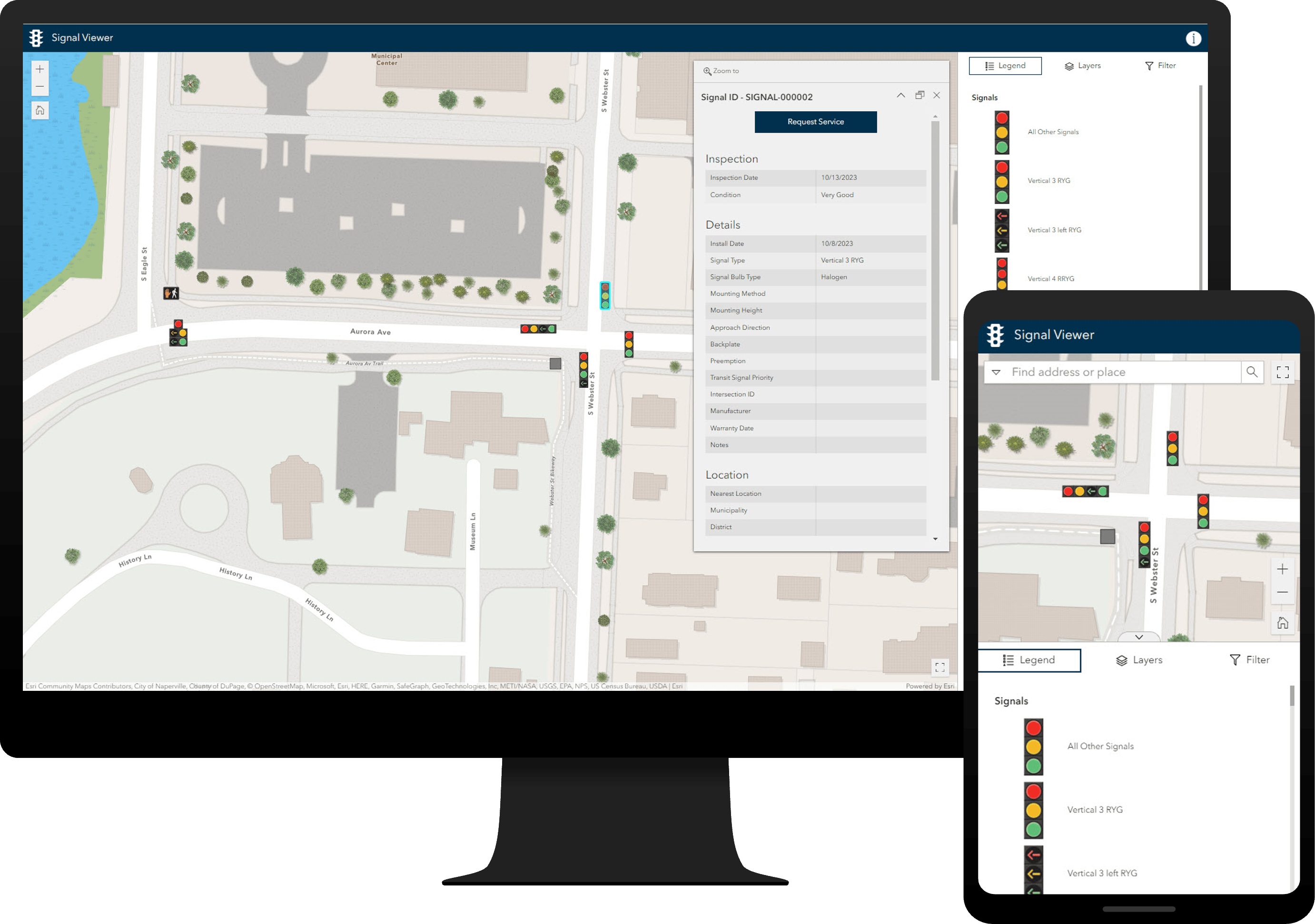
Signal Management
Signal Management can be used to collect roadway signals, cabinets, and poles, streamline inspection and maintenance activities, and understand asset conditions.
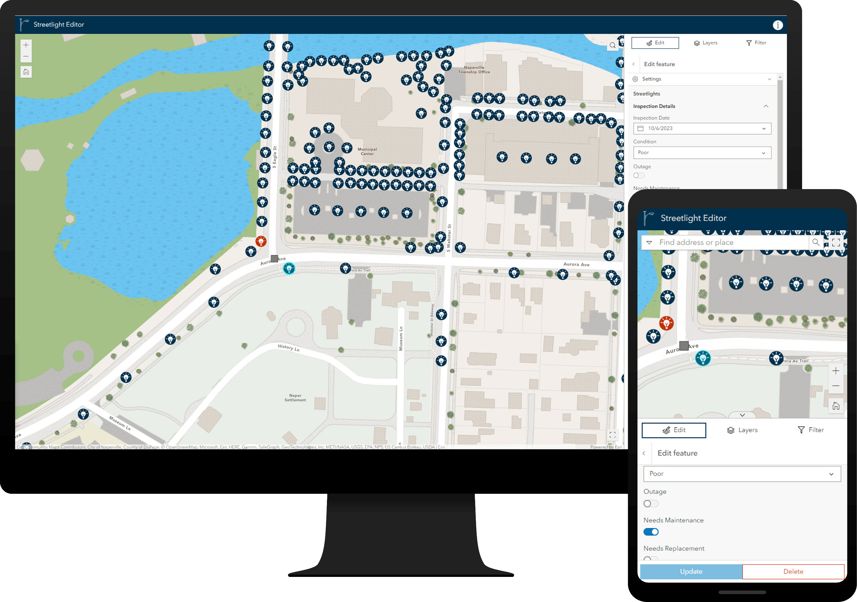
Streetlight Management
Streetlight Management can be used to collect streetlights, cabinets, and poles, streamline inspection and maintenance activities, and understand asset conditions.
And that’s not all.
There are also fourteen major enhancements, and many minor enhancements, to the existing solution portfolio that can be leveraged by organizations of all types.
- Adopt-A-Catch Basin
- Catch Basin and Outlet Inspections
- Damage Assessment
- Election Results
- Emergency Management Operations
- Fire Accreditation Analysis
- Know Your Zone
- Land Use Outreach
- Neighborhood Stabilization
- Parcel Value Analysis
- Road Closures
- Sign Management
- Social Equity Analysis
- Stormwater Data Management
Learn more about the minor enhancements to the existing solution portfolio in this release.
Lifecycle changes
Solutions supported in ArcGIS Enterprise 10.5 – 10.9 have moved into a Mature lifecycle phase. Solutions will no longer be available for these ArcGIS Enterprise versions, but customers may continue to use any solution they have previously deployed.
Furthermore, the Solutions Deployment Tool for ArcGIS Pro has also been moved to Mature lifecycle phase, and solutions will only be available in the ArcGIS Solutions app. The ArcGIS Solutions app is currently accessible through the app switcher in ArcGIS Online organizations and ArcGIS Enterprise (10.9.1 – current) portals.
Learn more about other lifecycle changes and issues that have also been addressed in this release.
Learn more
For more information about ArcGIS Solutions, check out the following resources:
- Explore the ArcGIS Solutions gallery.
- Learn more about ArcGIS Solutions.
- View the full collection of solution demo videos available to the community.


Article Discussion: