In 2015, the United Nations (UN) General Assembly adopted the 2030 Agenda for Sustainable Development. The agenda establishes 17 Sustainable Development Goals (SDGs) that are a universal call to end poverty, protect the planet, and ensure that by 2030 all people enjoy peace and prosperity.
While progress has been made on internationally comparable data, without geographic context and disaggregated data, it is difficult to understand whether vulnerable population groups are progressing at the same rate as the entire population.
The Sustainable Development Goals solution delivers a set of capabilities that help governments share progress made on Sustainable Development Goals, encourage community engagement, and combat misinformation.
Increase public awareness
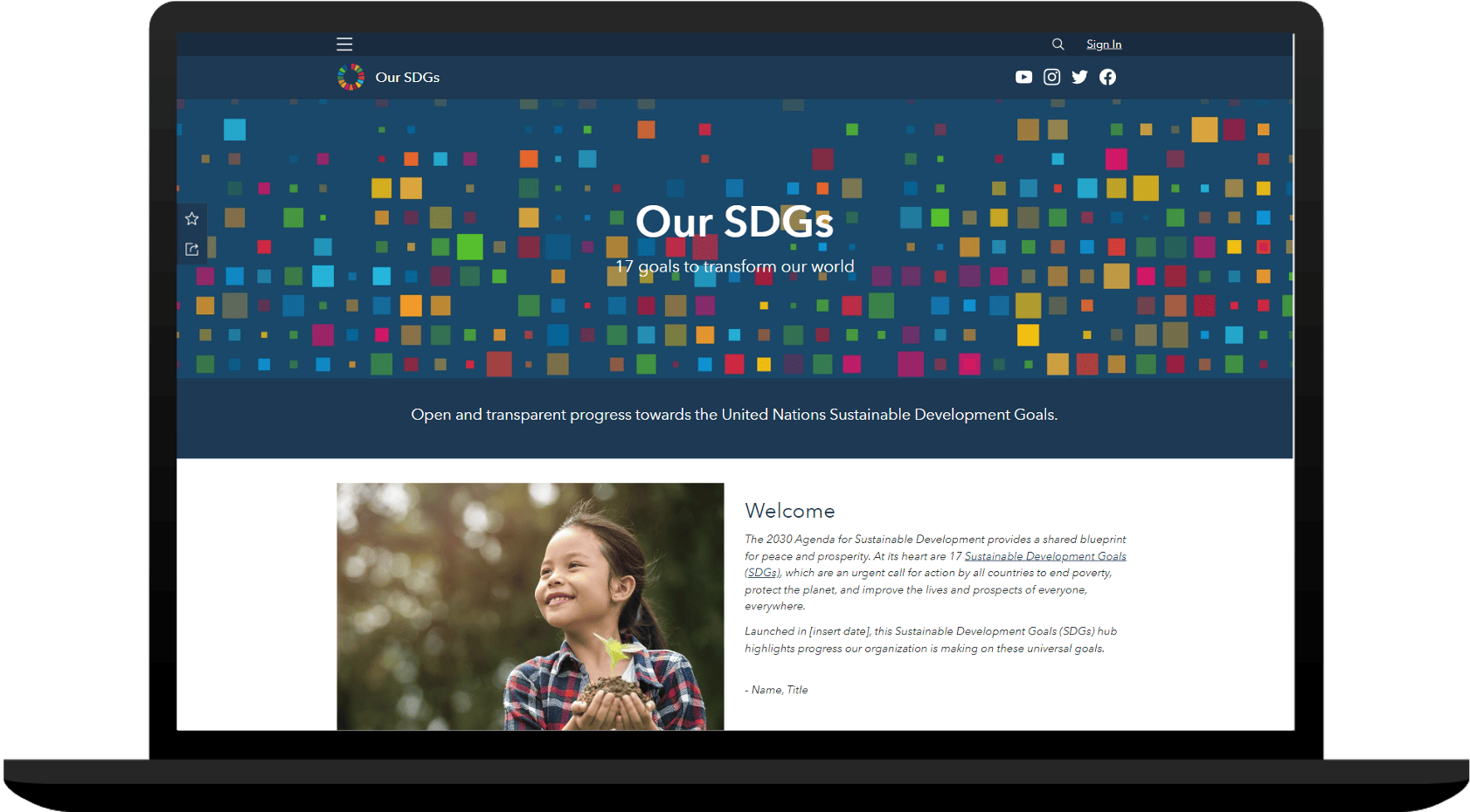
More than 1200 United Nations System Agencies and Organizations are reporting on the SDGs. As they continue to organize their data, they are looking for ways to provide geographic context so they can better understand progress being made by the entire population. The Sustainable Development Goals solution can be used to launch a web destination that helps you share authoritative data for SDG key indicators and communicate progress made on sustainable development goals.

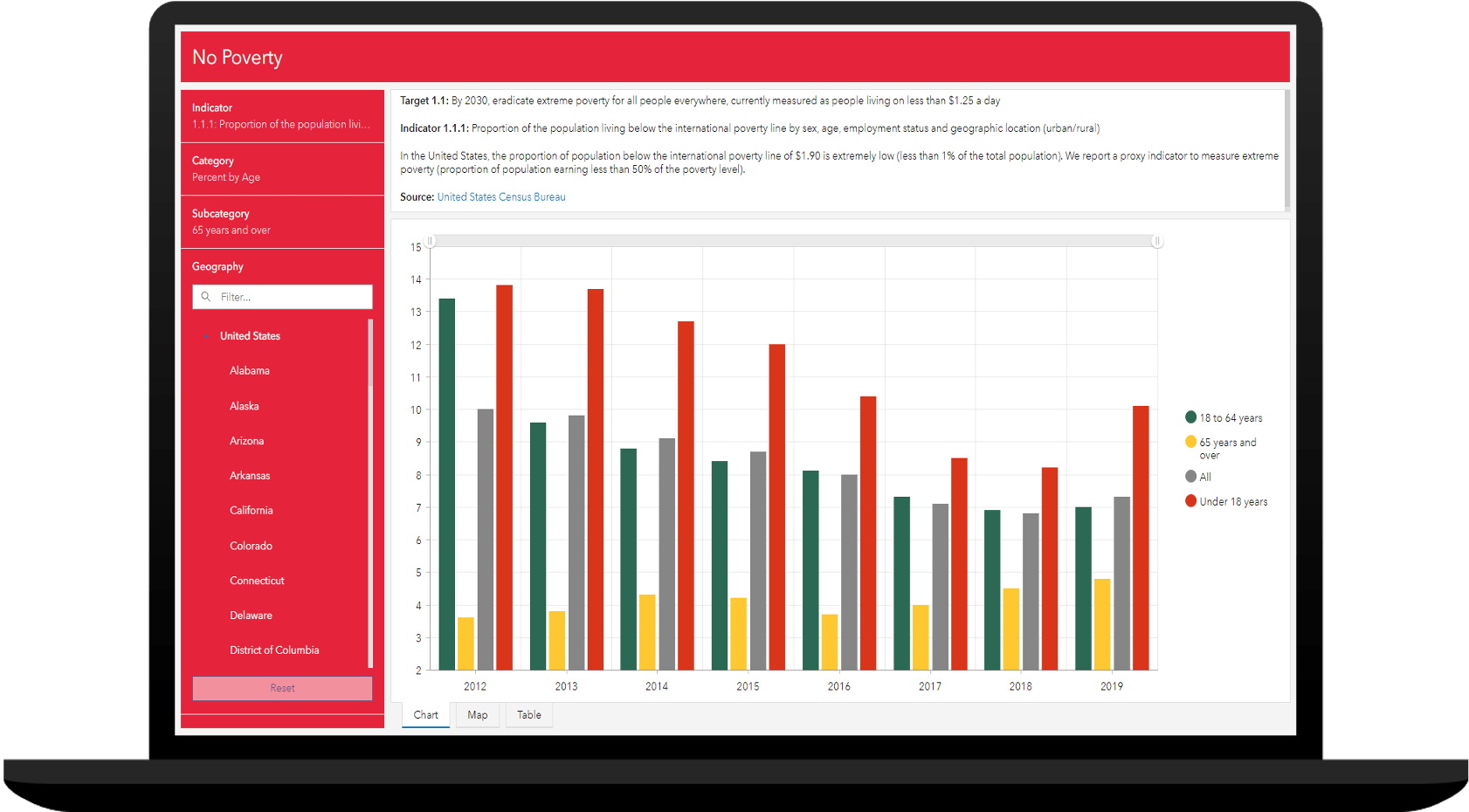
From this ArcGIS Hub destination, community members can visualize SDG indicators in modern, map-based reports. The map-based reports can include several levels of geography (for example, country, state, county, or census tract) and aggregated, or disaggregated, data. Community members can also monitor progress made on SDG related data, so they understand progress made on information required to measure SDG goals and indicators.

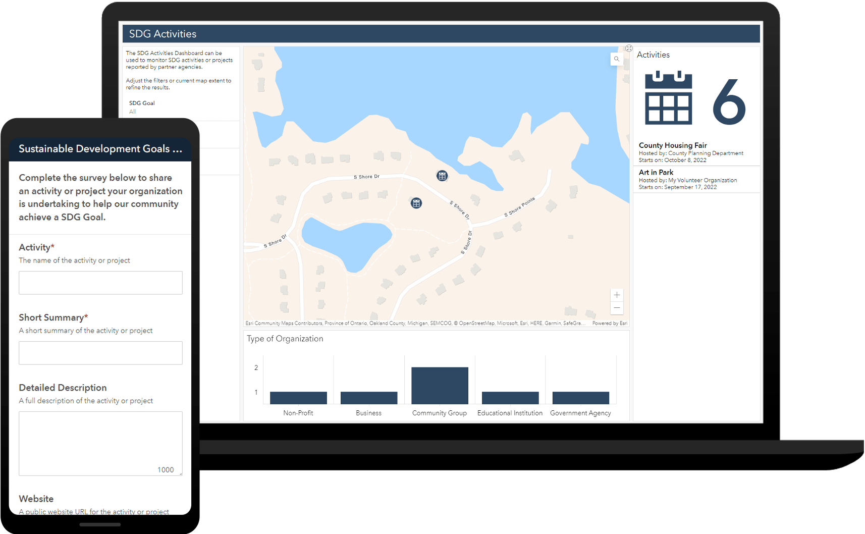
To help you continuously improve how you communicate progress being made, the Sustainable Development Goals solution includes an ArcGIS Survey123 form that can be used to solicit feedback from the public and other interested stakeholders. Sentiment can then be analyzed and used to evolve your SDG reports and destination.
Engage your community
Policy making is highly decentralized across the globe. Government jurisdictions of all sizes are responsible for policies that distribute available assets (i.e., funding, capital investments, programs, etc.) and create opportunities for all to succeed. Access to these assets and opportunities are the essence of what sustainable development goals attempt to measure.
The Sustainable Development Goals solution can also be used to solicit SDG activities undertaken by members of the public or organizations in your locale. Cataloging these activities can help you understand how community partners and their activities are helping you advance sustainable development goals.

The SDG Activity Dashboard can be used by SDG program analysts to monitor SDG activities reported by partner agencies. Use dashboard filters to explore activities for given goal or focus, or during a specific time period.
Additional resources
Learn more about the Sustainable Development Goals solution and how you can quickly deploy it on the ArcGIS Solution site. For questions and feedback, chat with us on Esri Community or contact Esri Support Services.
Scott, Moving forward almost 9 months, to the middle of the High Level Political Forum (HLPF) taking place in New York, I have been impressed with the new template developed and launched through a collaboration of the SDSN SDG Today and ESRI. This is an incredibly important tool for speeding up the pace achieving successful SDG outcomes in this decade