First of all, stop reading this blog post and jump over to a StoryMap written by mathematics-wielding projection-imbibing Bojan Šavrič (who says things like it is good to live on the ellipsoid, because on the sphere would be too easy), which describes the historical and trigonometric sleuthing he and David Burrows undertook to uncover, define, a share a projection intended to present the world’s oceans as a single body of water (which, you know, they are). The Spilhaus World Ocean Map.
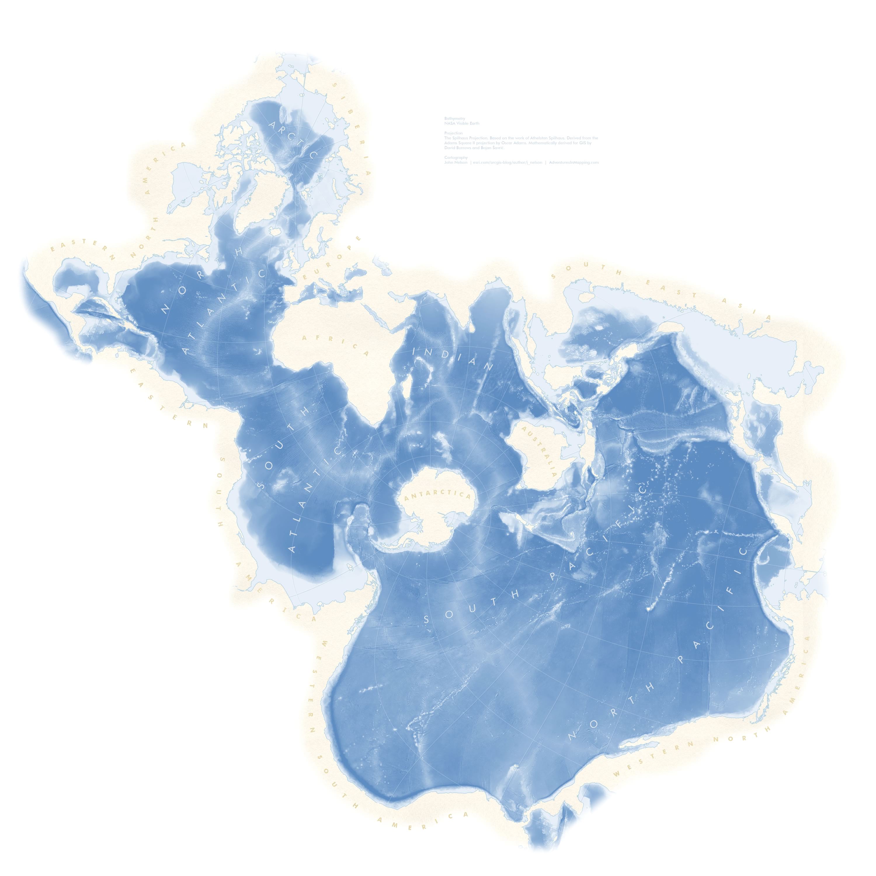
This projection is available in version 2.5 of ArcGIS Pro. We’re having a total blast playing with it. If you are immensely curious you can download an ArcGIS Pro project with this Spilhaus map all set up conveniently in a layout (12, 24, and 36 inch versions) so you can start pouring your oceanic data into it.
Here are a few more oceanic maps in Spilhaus…
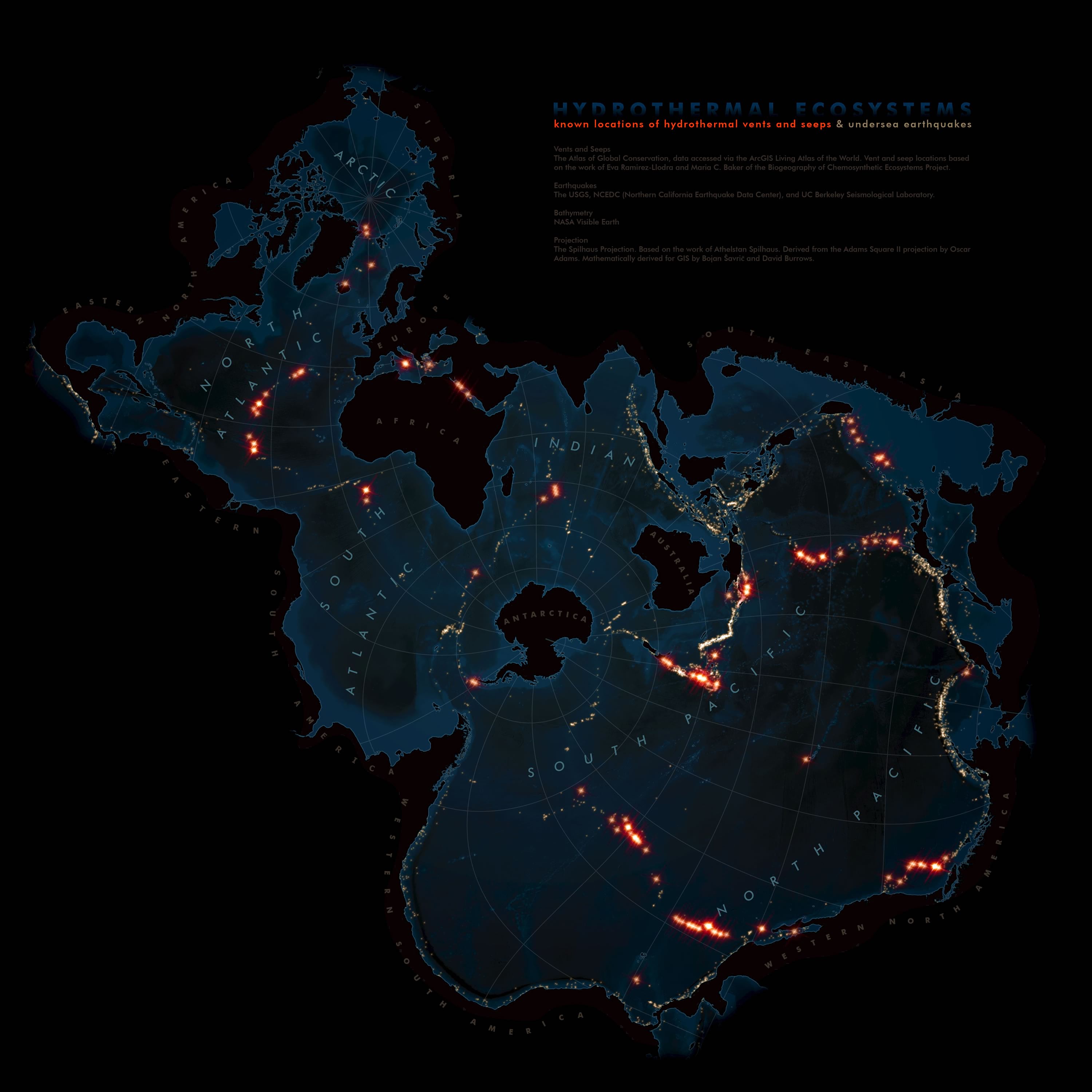
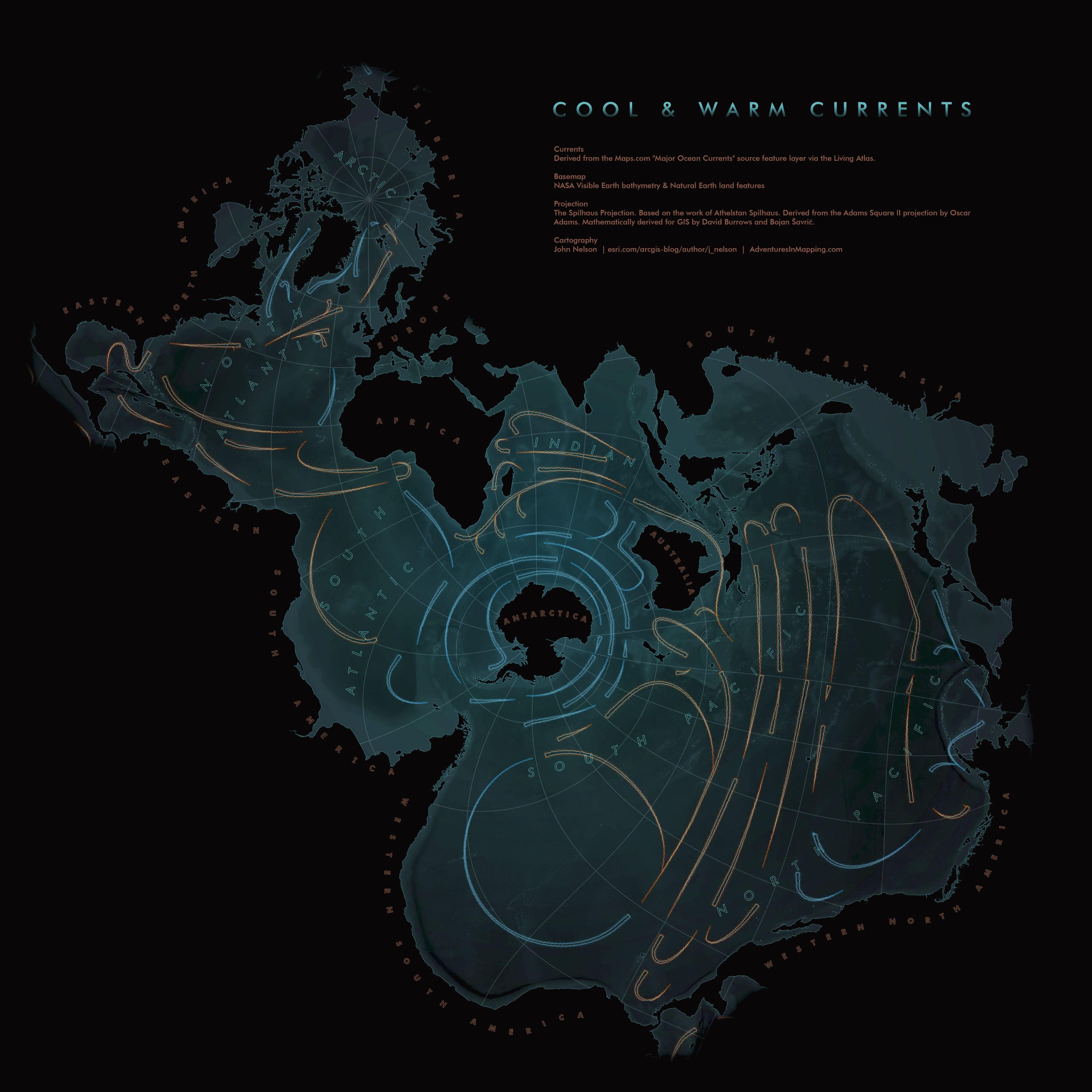
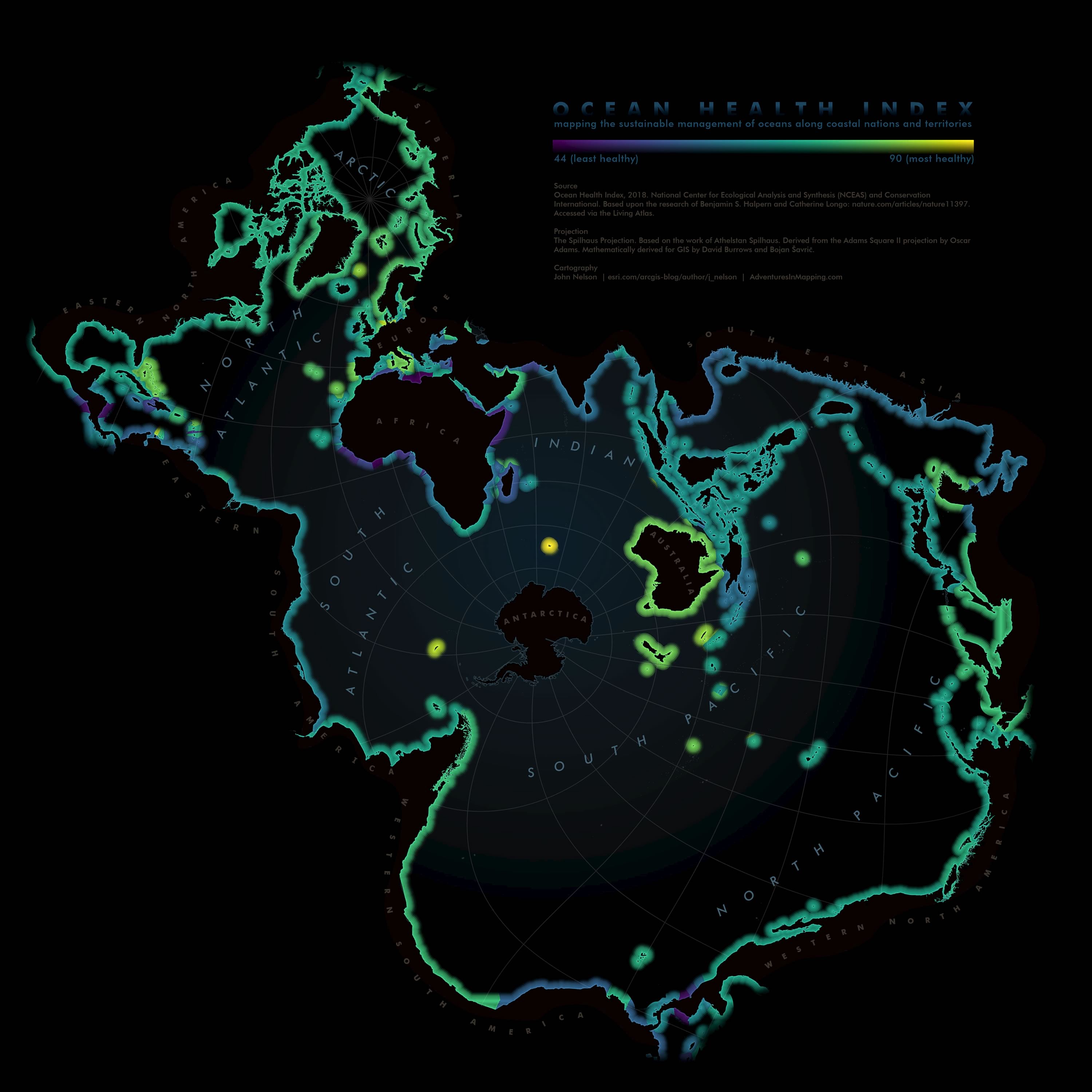
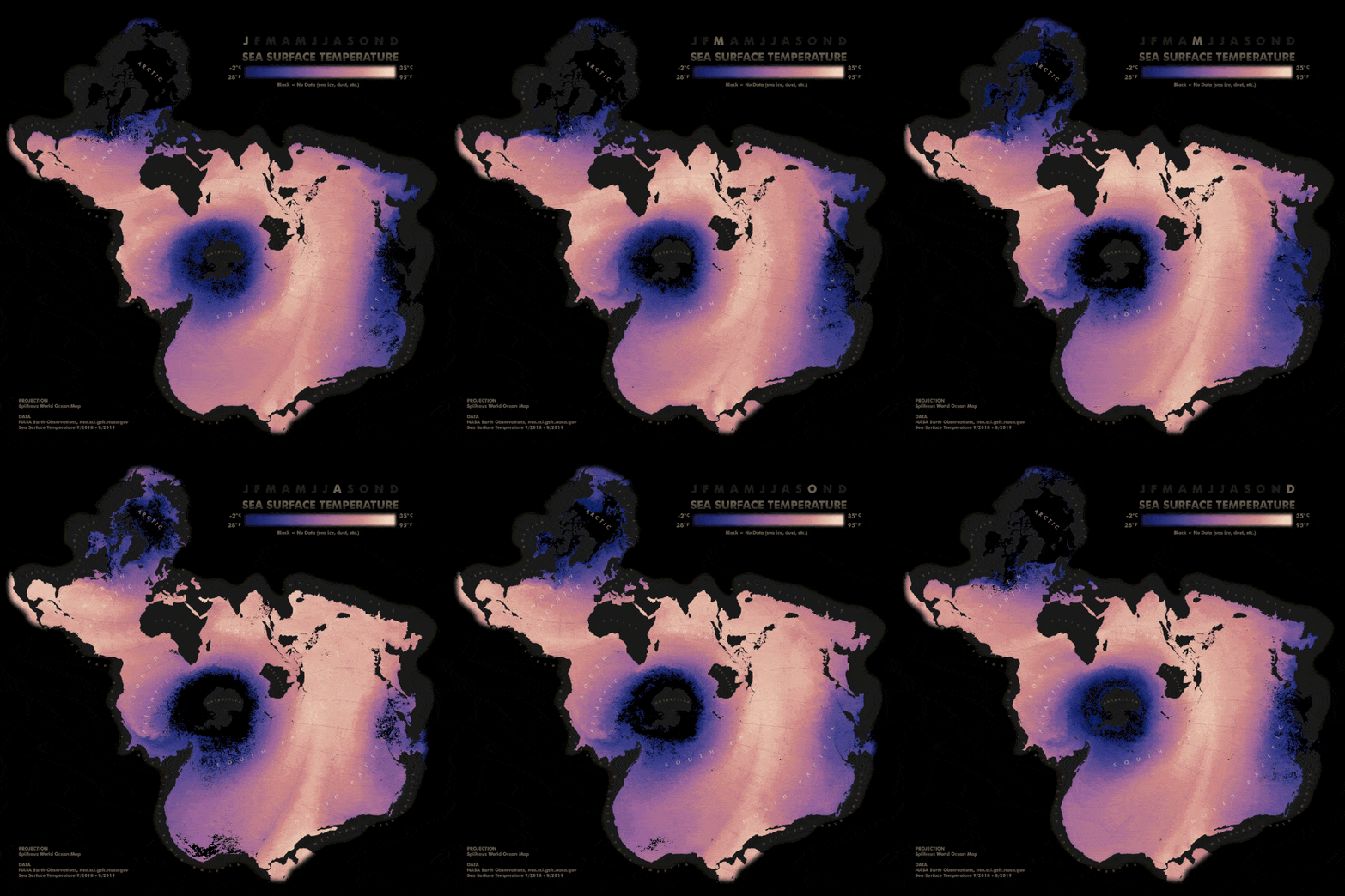
Once again, here’s that ArcGIS Pro 2.5 project package with a Spilhaus map all ready to roll. I sure look forward to seeing the maritime maps you all crank out.
Happy Mapping! John

Commenting is not enabled for this article.