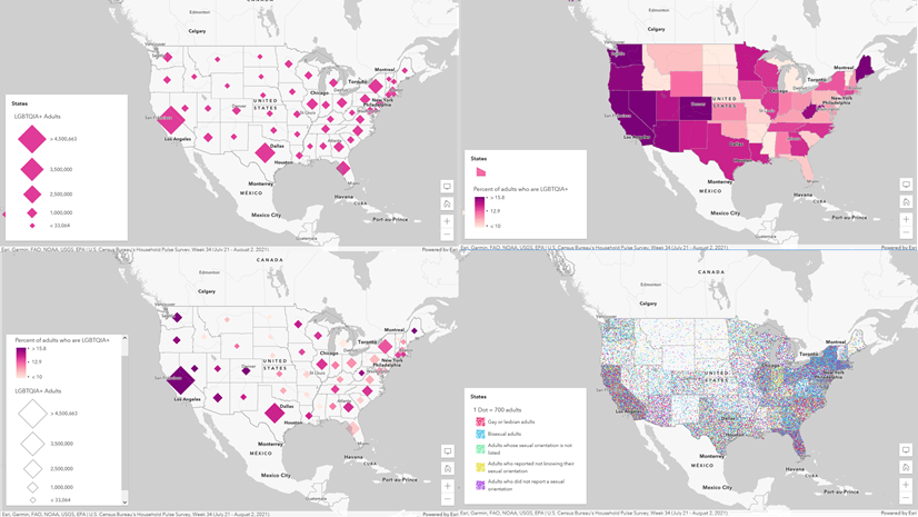
One of the great joys of working here at Esri is the opportunity to collaborate with amazing people. Recently I had the opportunity to present at the User Conference about thematic mapping, with Sarah Bell and Kenneth Field. It was a lot of fun and we all surprised each other with what we made from the same source data. One of the most beautiful aspects of cartography is there is no one right way to make a map. Here is what I made with some election data that Ken supplied us with.

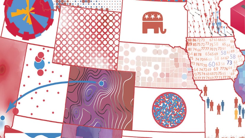
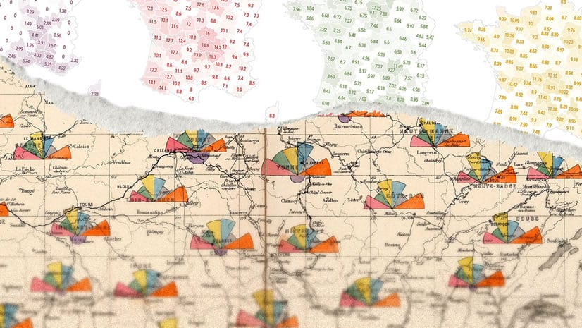
The title of this blog post says “How to” but actually it’s more like why to make this map the way that it is. There’s a lot to consider when making a thematic map, particularly election maps. This takes a pretty narrow look and mercifully uses data from Great Britain, which it turns out is not my home country. This was a nice change. Fresh eyes.
Here’s the video…
0:00 Rootin tootin introduction
0:32 Compared to what?
1:02 Explore the data
1:25 We ask too much of one map
1:47 Reveal information progressively
2:11 Sneaky legends
2:27 Complexity requires an investment
If you’d like to dive deep into all manner of thematic mapping techniques (it’s an endless path, my friends) I encourage you to check out Ken’s book on the subject.
Thanks for watching, and happy thematic mapping! Love, John

Article Discussion: