I recently made a map of the Sahara Desert using data from Natural Earth. I think it offers some nice examples of common tricks and techniques that go into many maps.
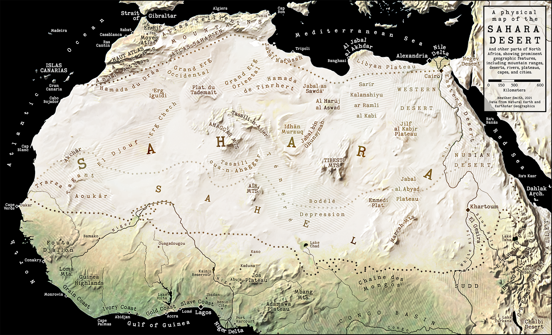
So I recorded some of those tips as GIF images and compiled them all into this story: 15 tips for cartographers in ArcGIS Pro.
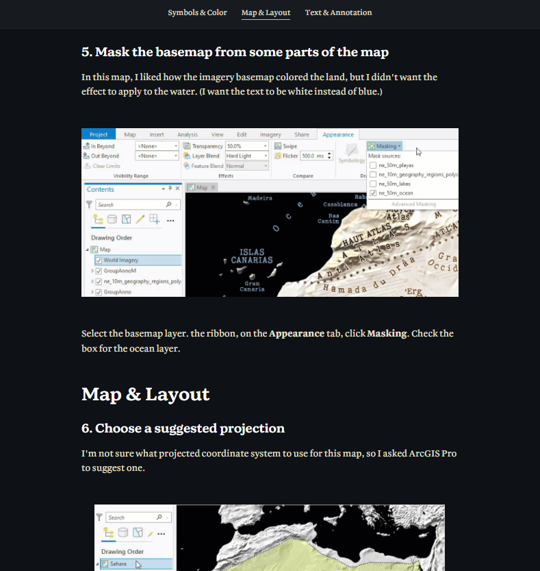
You can download Sahara.ppkx to view the map and layout shown in this story and see how they were constructed in ArcGIS Pro. The map was created in ArcGIS Pro 2.9.

Article Discussion: