
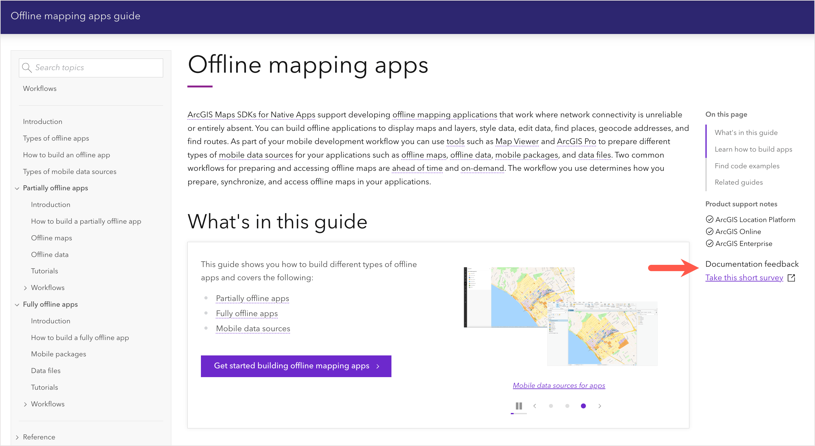
This summer we released a new Offline mapping apps guide for developers. This article takes an inside look at the guide, who it’s for, and the different types of offline mapping apps you can create.
What is an offline mapping app?
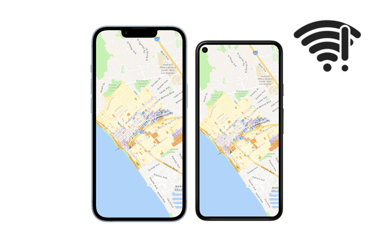
Offline mapping apps, also known as offline apps, are applications that work where network connectivity is unreliable or entirely absent. These apps allow users to interact with maps, edit data, get routes, and find addresses without needing continuous internet access.
Some examples of offline mapping apps include:
- Field data collection apps
- Hiking and navigation apps
- Utility inspection apps
- Surveying apps

Who is the guide for?
This guide is for developers who have ArcGIS Online or ArcGIS Enterprise. However, if you have ArcGIS Location Platform, please read this FAQ to learn more about your development options.
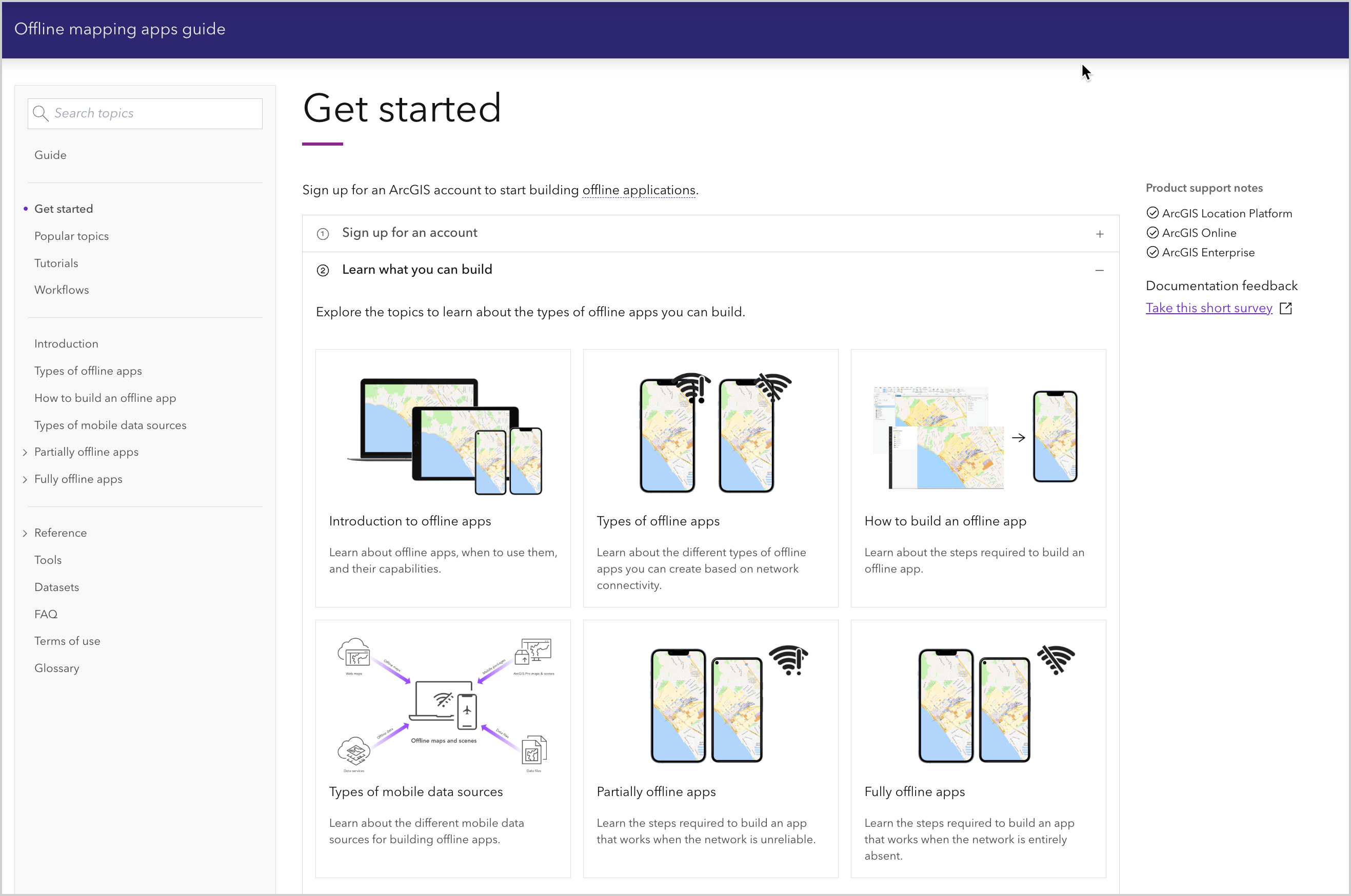
If you are new to building offline apps with ArcGIS, go to the Get started page to get an account, learn about the types of apps you can build and the mobile data sources you can use, and finally, how to develop offline applications with ArcGIS Maps SDKs for Native Apps.
Tip: The fastest way to find content and code in the guide is to use “Search topics”.
Types of offline apps
The guide describes two different types of offline apps you can build based on connectivity scenarios.
Partially offline apps
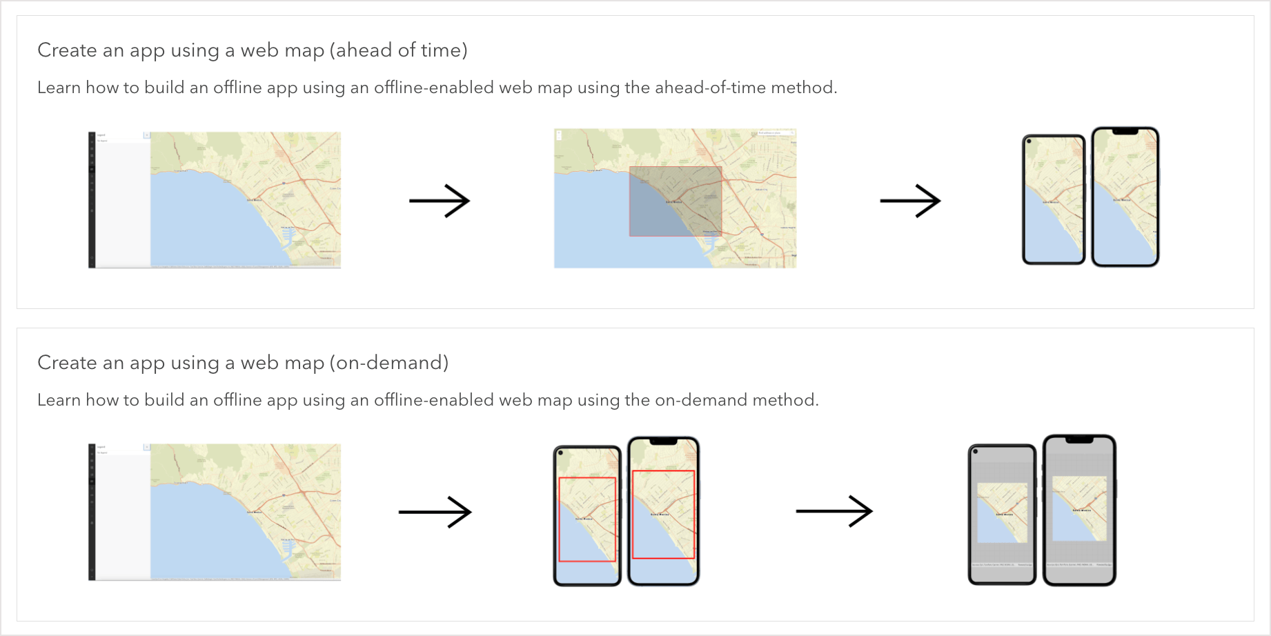
Partially offline apps are offline apps designed to work in situations where network connectivity is unreliable. This is a great option if you expect to be mostly offline but still have periods of network access. During those times, you can download data for offline use and synchronize any edits you made while offline.
Fully offline apps
Fully offline apps are offline apps designed for situations where network connectivity is entirely absent. This is a great option for when you have no internet access at all, such as when working behind a firewall. You can still perform mapping tasks offline if you have the map and data sideloaded to your device.

Code examples
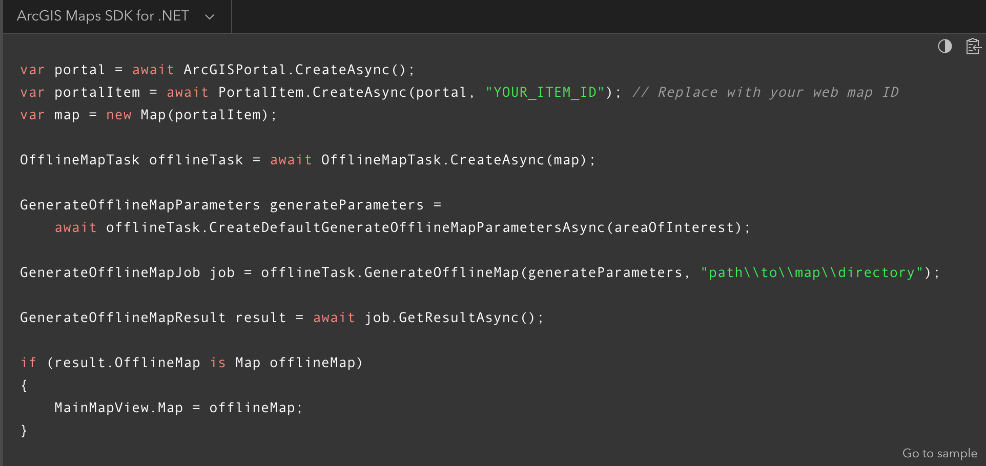
Throughout the guide, you will find an extensive collection of ready-to-use code examples. These examples are written in multiple languages supported by the ArcGIS Maps SDKs for Native Apps, such as .NET, Kotlin, Swift, and Qt. With the code switcher, you can easily select your preferred language, and it will stay selected as you navigate through the guide.
Tutorials
To provide you with hands-on experience, the guide includes tutorials and references to tutorials across different SDKs. The tutorials offer step-by-step instructions to achieve a focused task such as creating offline-enabled web maps and downloading maps offline.
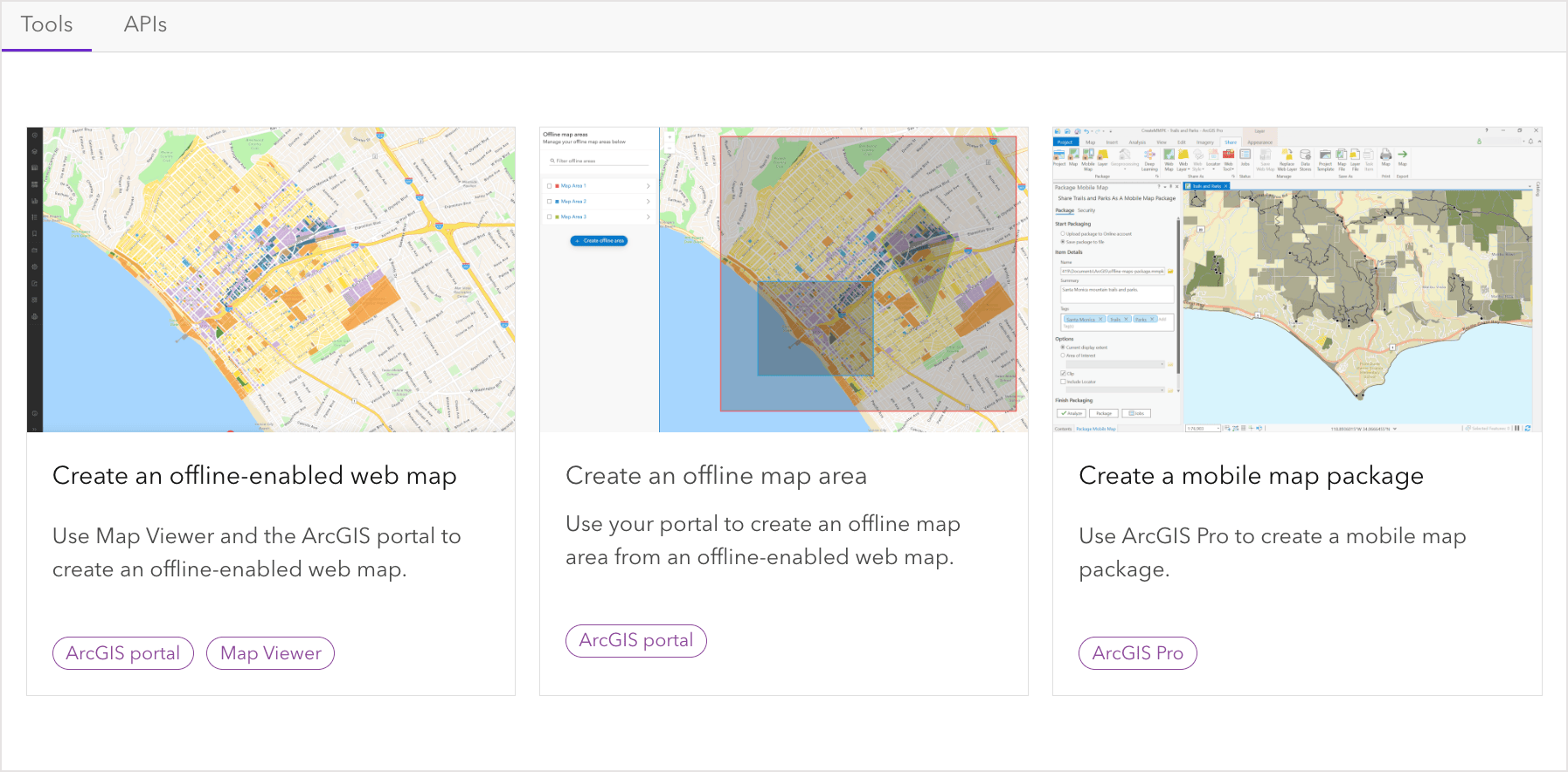
Tip: If you are new to building offline mapping apps, it is recommended to follow the “Tools” tutorials first to prepare your data source, and after that, write the code to access the data in the API of your choice.
Workflows
If you’re looking for a resource to guide you from start to finish, go to Workflows. While tutorials focus on specific tasks, workflows consist of a set of tasks to accomplish a bigger objective, such as creating an offline app to display your data. A workflow takes you through the whole development process, from preparing your data to getting your app up and running. Throughout the workflow, you will utilize various APIs and tools, such as the ArcGIS Maps SDKs for Native Apps, ArcGIS Pro, and ArcGIS portal.
Ready to get started?
To get started go to the Get started page, learn about the types of apps you can build, and start building offline mapping apps!
In future blogs we’ll take a deeper look at the development patterns and key concepts behind building maps offline.
We want your feedback!
Please take our survey to let us know if the guide was helpful and how we can improve it.


Article Discussion: