Some content referenced in this article may no longer be available as the COVID-19 situation progresses.
Yesterday I published a StoryMap that looks at the proportion of a county’s population that is represented by a single hospital bed. The data comes from the wonderful and generous “Definitive Healthcare: USA Hospital Beds” data that was recently shared into Living Atlas. I wanted to associate these hospital points, and their constituent bed counts, into regions that might help healthcare planners and providers, and the general public, understand the relative numbers of hospital beds in the context of the overall population (and some additional considerations like age, healthiness, and food security).
Why counties? Because a lot of state and local decisions are made at the county level and the general population tends to know their home county but certainly not which “hospital referral region” they fall into. As hospital beds, not necessarily hospitals themselves, become a critical commodity to quantify and understand, I wanted to put that data into an enumeration unit that just might be helpful to someone.
Find that story here…

…and the underlying bed counts per county data is available here…
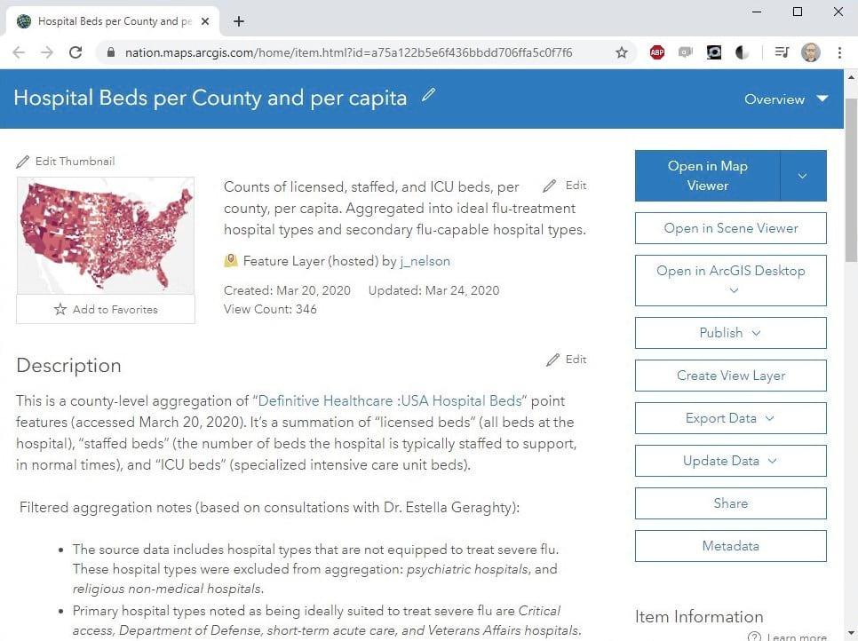
I shared this StoryMap, and underlying data source into the Twitters, as I am wont to do…
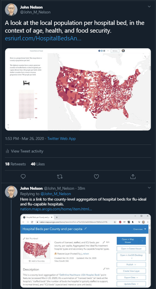
Alex Hill suggested I also aggregate the hospital bed data into Craigslist Economic Zones. This is the nearest thing to music to my ears that it gets for me. Great idea Alex! Coming right up!
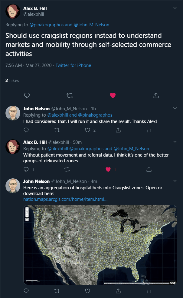
Craigslist Zones (or as I’ve also called them, The United States of Craigslist) are practical economic zones, grown from the seeds of Craigslist.org local websites. They represent a pragmatic segmentation of the country that are unencumbered by arbitrary political borders. Or, as Alex describes them well, “markets and mobility through self-selected commerce activities.”
So, here are Craigslist Zones, populated with the counts of hospital beds within each…
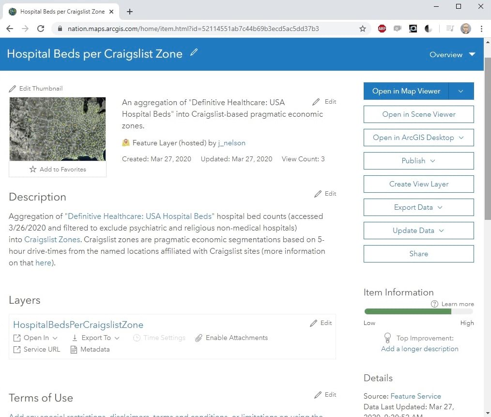
If you are working on the response to Coronavirus / COVID-19, then perhaps these zones and counts will be helpful.
How To
Here’s how to aggregate those hospital bed counts, living within hospital point locations, into polygons (particularly, Craigslist Zones)…
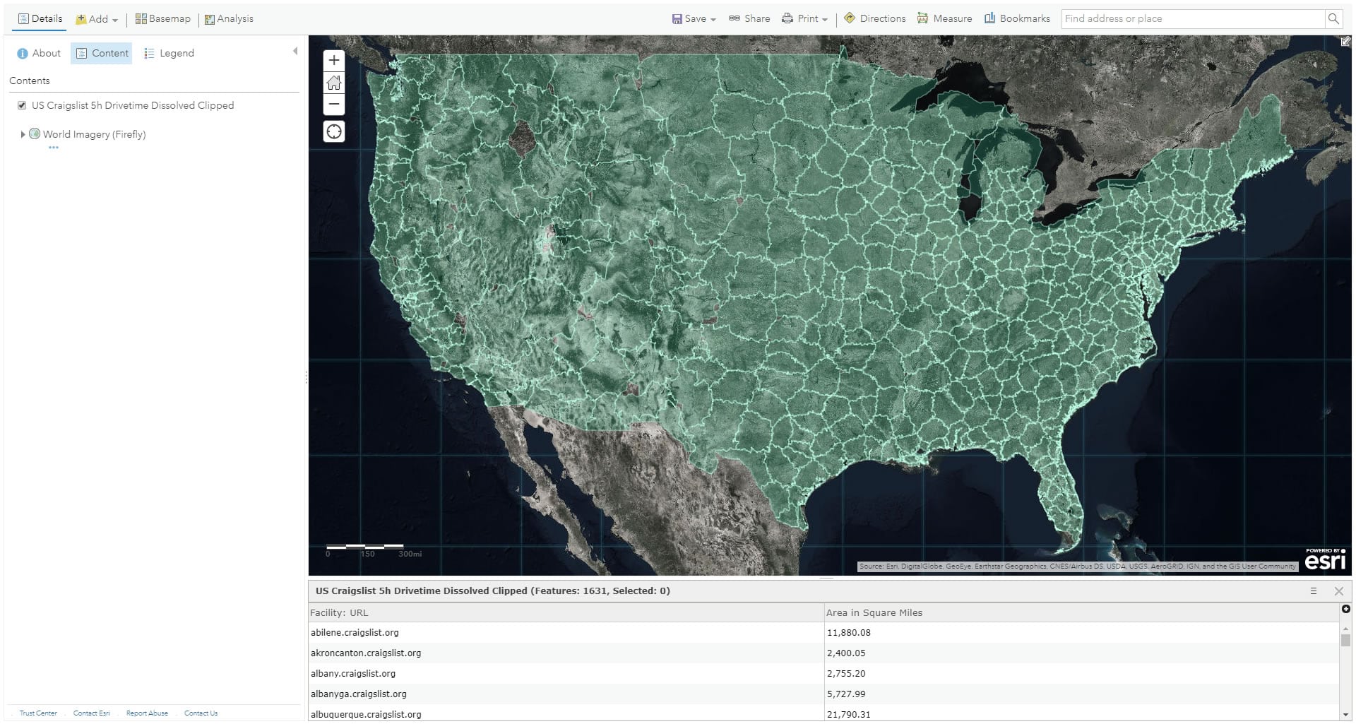
These are the Craigslist Zones in ArcGIS Online:
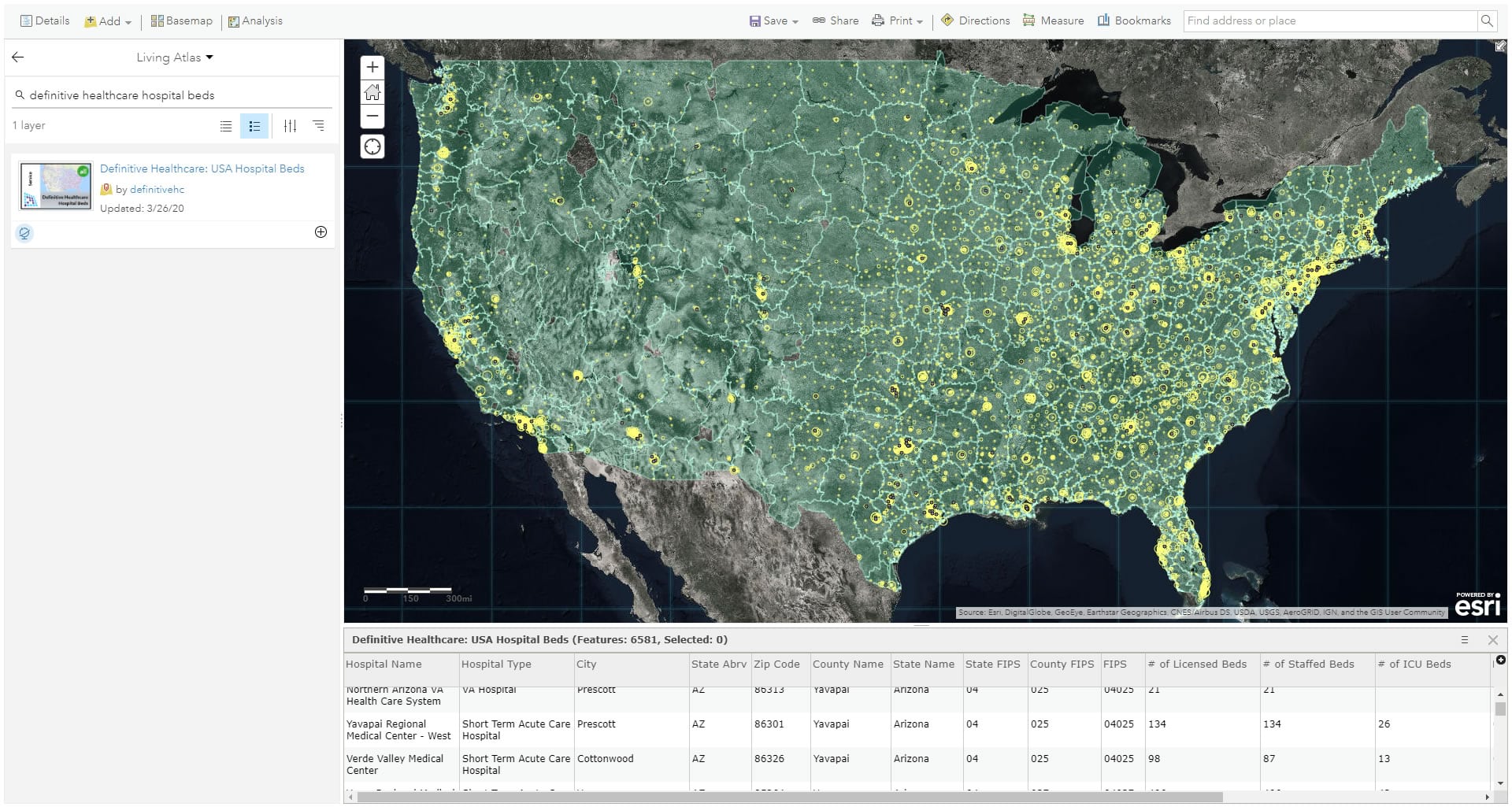
I added the hospital bed data from Living Atlas.
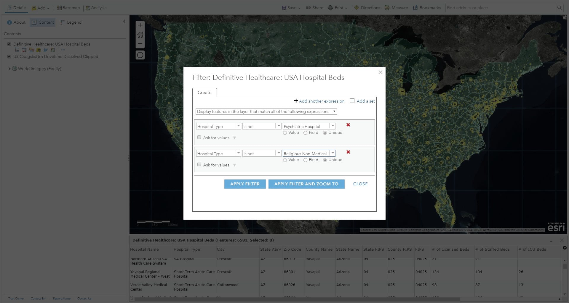
Not all of the hospital types included in the data are suited for severe flu treatment (I learned after chatting with the ever insightful and helpful and, these days, incredibly busy, Dr. Este Geraghty). So I filtered out “psychiatric hospitals” and “religious non-medical hospitals”, excluding them from the aggregation to come.
Now all that was left was the aggregation itself. Using the Summarize Within tool, I just added up each hospital bed type.
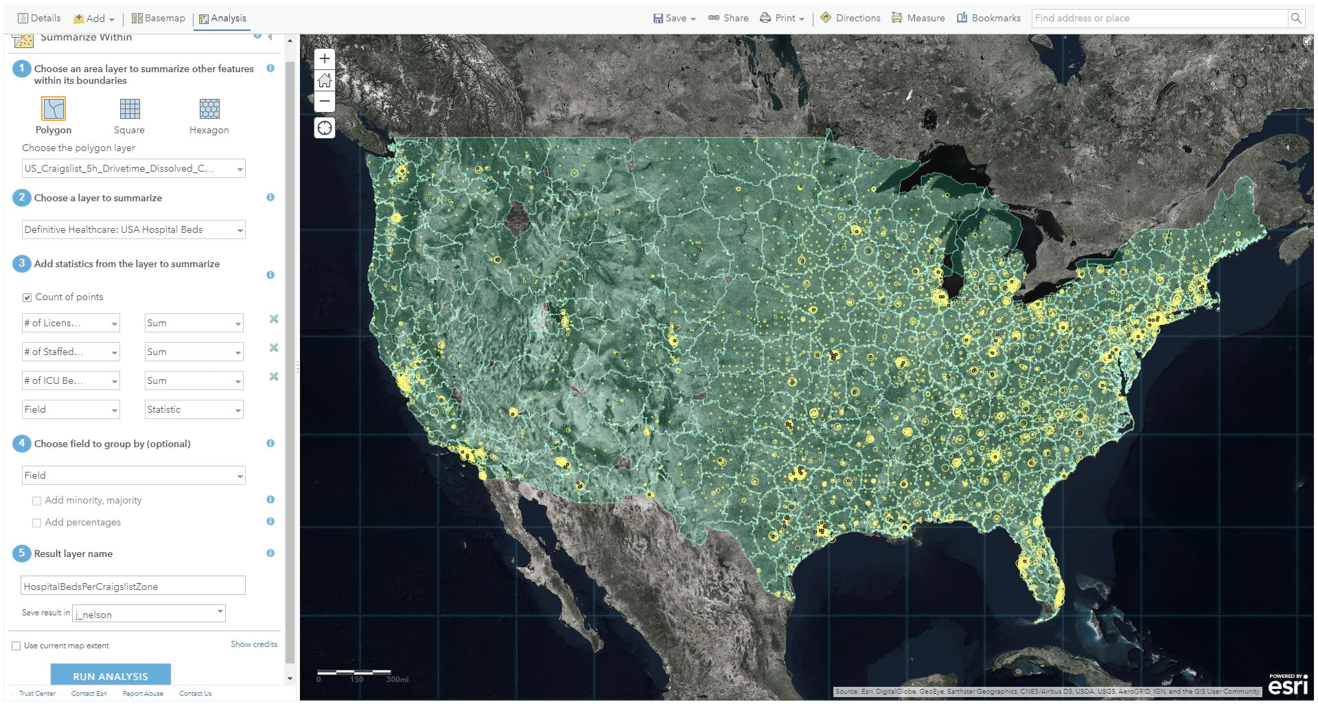
The result is a Craigslist Zone layer that is aware of how many hospital beds live within it.
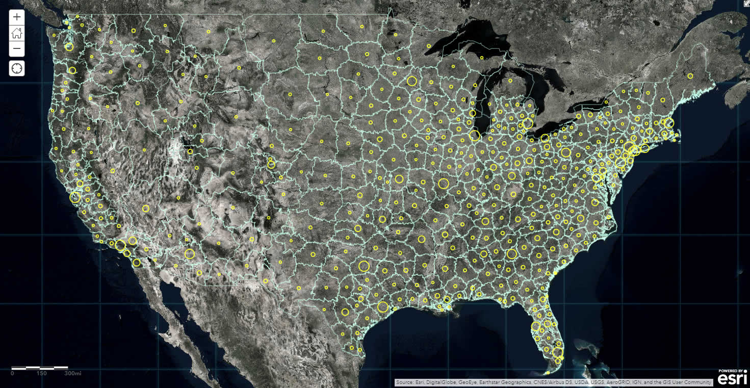
As the world flexes in response to this pandemic, hospital beds are a keen proxy for the healthcare industry’s capacity to respond and treat the afflicted. If the aggregation of beds into pragmatic non-political zones is useful in any way, great, please use it! If not, then at least we’ve looked at how to roll the attributes of one data type into another data type and we can extend that knowledge into our ongoing data-crunching knowledge-seeking difference-making pursuits.
For other COVID-19 resources, visit this site.
Be well and do good! John

Article Discussion: