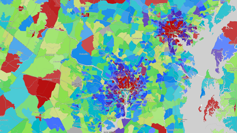
The Citizen Voting Age Population (CVAP) , as the name suggests, is the population that is both 18 years or older and a U.S. citizen. The CVAP dataset is a well-established data product. The U.S. Census Bureau prepares this dataset for the Department of Justice. The first delivery was based on the 2000 Census. Since 2011, CVAP is a special tabulation of the U.S. Census Bureau’s American Community Survey five-year estimates, supporting a new delivery of data every year.
CVAP layers, maps, and apps debuted in Living Atlas two years ago, with an annual update last February. This year’s annual update is here. All CVAP content in Living Atlas now contains and displays the latest vintage: 2019-2023. This year, we’ve even added the vintage right into the pop-ups.

The Details
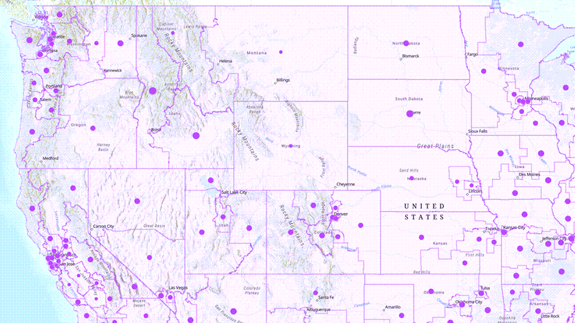
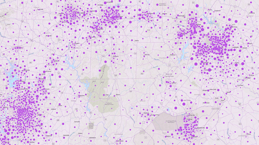
Geography levels available
- The “nested” geographies: nation, state, county, tract, and block group
- The legislative geographies: congressional district, and state legislative districts (both upper and lower chambers)
- Other administrative geographies: place, and minor civil divisions (for 12 states only)
Living Atlas value-adds for GIS users
The feature layers have all the details and enhancements you’d expect from Living Atlas:
- water-cut polygons
- informative aliases and field descriptions
- thoughtful symbology that works on a variety of basemaps
- percentages as calculated fields
Content
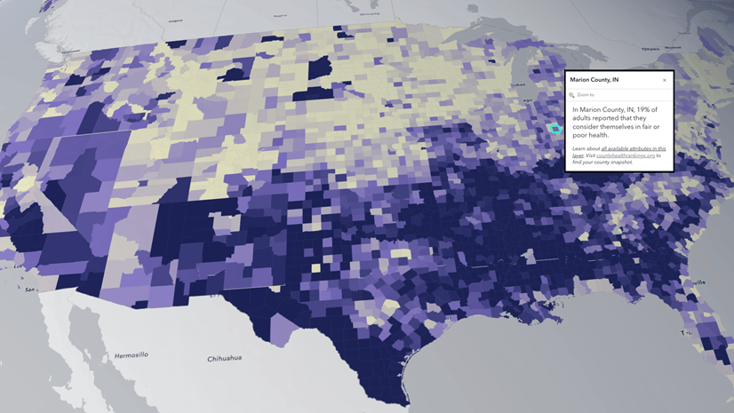
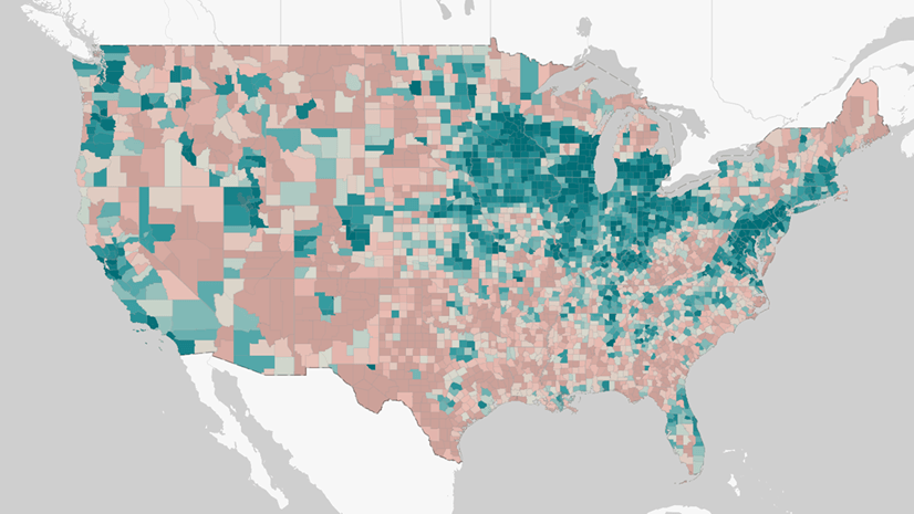
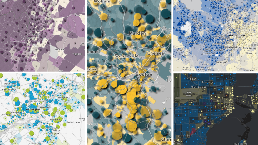
Living Atlas contains way more than just data. That’s why Living Atlas also has pre-configured maps and instant apps as additional content items for those who are looking for a polished information product rather than data layers. For example, this web map contains a chart of CVAP by race/ethnicity in the pop-up.
 by race/ethnicity.")
How do you use CVAP content in your work?
These ready-to-use layers and maps can be used within ArcGIS Pro, ArcGIS Online, its configurable apps, dashboards, Story Maps, custom apps, and mobile apps. Data can also be exported for offline workflows. This content is updated annually to contain the most currently released CVAP data (both estimates and margins of error). There are also additional calculated attributes, which can be mapped or used within analysis.
If you use CVAP content from Living Atlas in your work, please let us know! Doing so will help us to prioritize the maintenance and update plans for these important content items next year.
- Share your work through Esri Community
- Comment on the CVAP content item page(s) in Living Atlas that you’re using
- Leave a comment at the end of this blog post
- Visit the friendly Living Atlas Policy Maps booth at the User Conference and tell us your use-case

Article Discussion: