This article was last updated on 06/27/2024
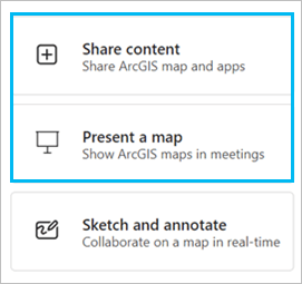
With ArcGIS for Teams your team can collaborate and share publicly available ArcGIS spatial content. Use the Share content and Present a map tools to engage with maps and data in real time during Microsoft Teams meetings.
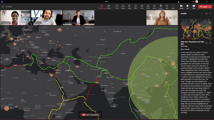
Sharing and presenting in ArcGIS for Teams is similar to the Microsoft Teams meeting option Share content: participants in a meeting can see the presenter’s screen. However, a key difference is that participants can interact with shared content independently from the presenter.
Share content and Present a map are designed for real-time collaboration
Participants can interact with a comprehensive library of publicly available ArcGIS Online location data, change presenters, and explore shared content independently.
One participant at a time is the presenter, but all participants can explore shared spatial data on their own. Synchronize back to the presenter only when you are ready.


Once the presenter shares content, participants are free to explore it independently. For example, zoom and pan a shared map, explore the data in a spreadsheet, or click a layer’s properties.
To return to the presenter’s viewpoint, click Live – Sync to presenter at the bottom of the screen.

Stop presenting at any time and allow another participant to take control of the Live Share. Just click Stop control at the bottom of the meeting pane.
Click Take control to become the new presenter.

Live Share is a simple but powerful way to share your public ArcGIS Online content through Teams.
ArcGIS for Teams June 2024 release
The February 2024 release was the first introduction to sharing and presenting in ArcGIS for Teams.
In June 2024, we have added a feature with even more collaboration possibilities: Sketch and Annotate. This feature builds on sharing and presenting by allowing users to independently annotate a shared public ArcGIS map. The host can save the team’s annotations as a map layer to their ArcGIS organizational account.
Learn more in the latest online user guide
To learn more, give us feedback, and find the latest product information, please join our ArcGIS for Teams Esri Community.


Article Discussion: