ArcGIS StoryMaps first became available on ArcGIS Enterprise at version 10.8.1. Since then new features and capabilities have been added at 10.9, and now even more powerful storytelling tools are at your disposal with the release of ArcGIS Enterprise 10.9.1.
Here are some of the additional features in ArcGIS StoryMaps you’ll be able to utilize after upgrading to Enterprise 10.9.1.
-
Two new collection layouts are available in the design panel: Magazine and Journal.
- You can add ArcGIS Survey123 forms to a collection.
- A timeline block has been added with three layouts: Waterfall, Single side, and Condensed.
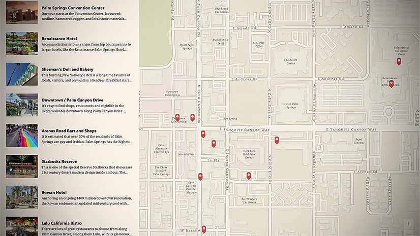
- Use an ArcGIS feature service to populate your map tour.
- Enhanced map tour place descriptions can include audio and buttons.
-
The color picker is available in the text formatting toolbar.
-
The Organization settings page allows administrators to configure approved themes for organization members to use.
- Preview and use fonts from Google Fonts in a theme.
-
Two new quote styles are available in the theme builder, and you can set the alignment for any of the available quote styles.
-
You can configure the story language in the story settings to improve readers’ experience when using web browser translation tools and assistive technologies.
-
Much more…
In addition to all the upgrades to ArcGIS StoryMaps, there are many new capabilities across all the app and features of ArcGIS Enterprise 10.9.1. For more details on the rest of what’s recently been added to Enterprise, see What’s new in ArcGIS Enterprise 10.9.1 (esri.com).
Below is a reminder about what was added to ArcGIS StoryMaps in the previous Enterprise 10.9 update. If you haven’t upgraded since 10.8.1, you’ve now got about two dozen more reasons to have a chat with your administrator!
- With map tour’s explorer layout, readers can browse a large set of places in grid or list view.
- You can create a map tour by uploading a set of photos.
- You can use photo geotags to locate map tour places.
- Add audio (.mp3 and .wav files) inline as a block or in the background of sidecar slides.
- The swipe block is available. You can use it to compare two maps or images.
- The slideshow block (beta) is available. You can use it to present a series of media with narrative content in a floating panel.
- Choose from a larger selection of basemaps, or use your own web map, for express maps and map tours.
- Circle and rectangle drawing tools are available in express maps.
- Transparent panel styles are available in the floating panel layout of sidecar.
- You can add link-style map actions to text in a sidecar narrative panel.
- A replace media option is available for images and videos.
- Greater control over video playback options like autoplay and loop.
- A new large paragraph style is available from the text formatting toolbar.
- You can add sidecar and credits headings as story navigation links.
- Collections support adding ArcGIS file types like images and PDFs.
- Tabbed and bulleted navigation options are available in collections.
- Add a logo to a collection.
- Co-authors can publish changes to stories and collections.
- Publish stories and collections to shared update groups.
- Theme builder is available to create custom themes.
- An enhanced color picker is available in the express map designer and the theme builder.
- Many accessibility updates have been made to improve keyboard navigation and screen reader experiences.
- Lots of bug fixes and performance improvements.
Banner photo by Massimo Botturi on Unsplash


Article Discussion: