Today we’re releasing over 30 new ArcGIS DevLabs to help you explore and build powerful geospatial apps.
What are DevLabs?
If you are new to the ArcGIS DevLabs, they are short tutorials that step you through the process of building geospatial apps with the ArcGIS platform. They follow a Data – Design – Develop workflow and illustrate how to import data, style maps and layers, and then add maps and layers to applications. The labs are very short (5-15 minutes each) and you can complete them in any order you want and in the language of your choice: JavaScript, Android, iOS, or with any of the Runtime APIs.
The big news for this release is the addition of the new ArcGIS API for Python and ArcGIS REST API labs.
New Python Labs – Automate Workflows
There’s more to building apps than coding the apps themselves! The new Python labs show you how to use the ArcGIS API for Python to automate workflows that help you prepare and maintain data for your applications. These labs give you the option of using the Esri Jupyter Notebook in the cloud so no installation is required! You can input and execute Python code right from your browser.
New REST Labs – Enterprise Development
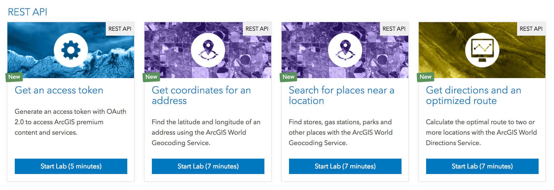
The new REST labs show you how to access ArcGIS Services (Feature Services, Geocoding, Directions…) directly with the ArcGIS REST API, which is extremely helpful when building and integrating ArcGIS Services into larger enterprise solutions. They step you through the entire process of acquiring an authentication token and then executing GET and POST HTTP requests with an easy-to-use tool called Postman. Learn more about these labs here.
Feel free to browse the complete list of the new labs below and start building apps today!
ArcGIS for Developers Team
New Data Labs
New Python Labs
New REST API Labs
- Get an access token
- Get coordinates for an address
- Search for places near a location
- Get directions and an optimized route
- Calculate drive time from a location
- Route to the closest destination
- Query a feature layer
- Add, edit, and remove features
- Create a buffer and perform a geometry intersection
- Query elevation data
- Export a static image of a map
- Get demographic data
New JavaScript Labs
New Android Labs
New iOS Labs
New .NET Labs
New Qt Labs


Commenting is not enabled for this article.