In this demonstration, Maher Abdel Karim from The Public Authority for Civil Information (PACI) in Kuwait showed us how PACI used machine learning and deep learning to modernize their GIS data, to support the Kuwait Vision 2035. Kuwait is focusing on major infrastructure growth as part of the Kuwait Vision 2035, by implementing huge infrastructure projects across the country. PACI is responsible for recording data about people, addresses and businesses and have created a comprehensive basemap for the whole State of Kuwait. The rapid infrastructure growth makes it challenging for PACI to keep the basemap up to date as it is used by more than 170 different organizations. Their goal was to automate updates to their basemap.

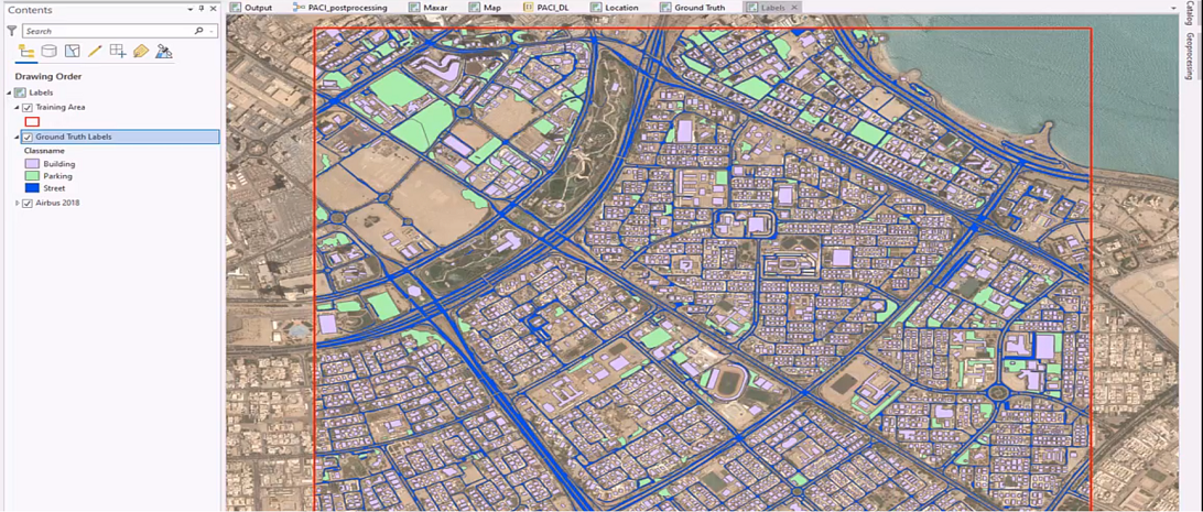
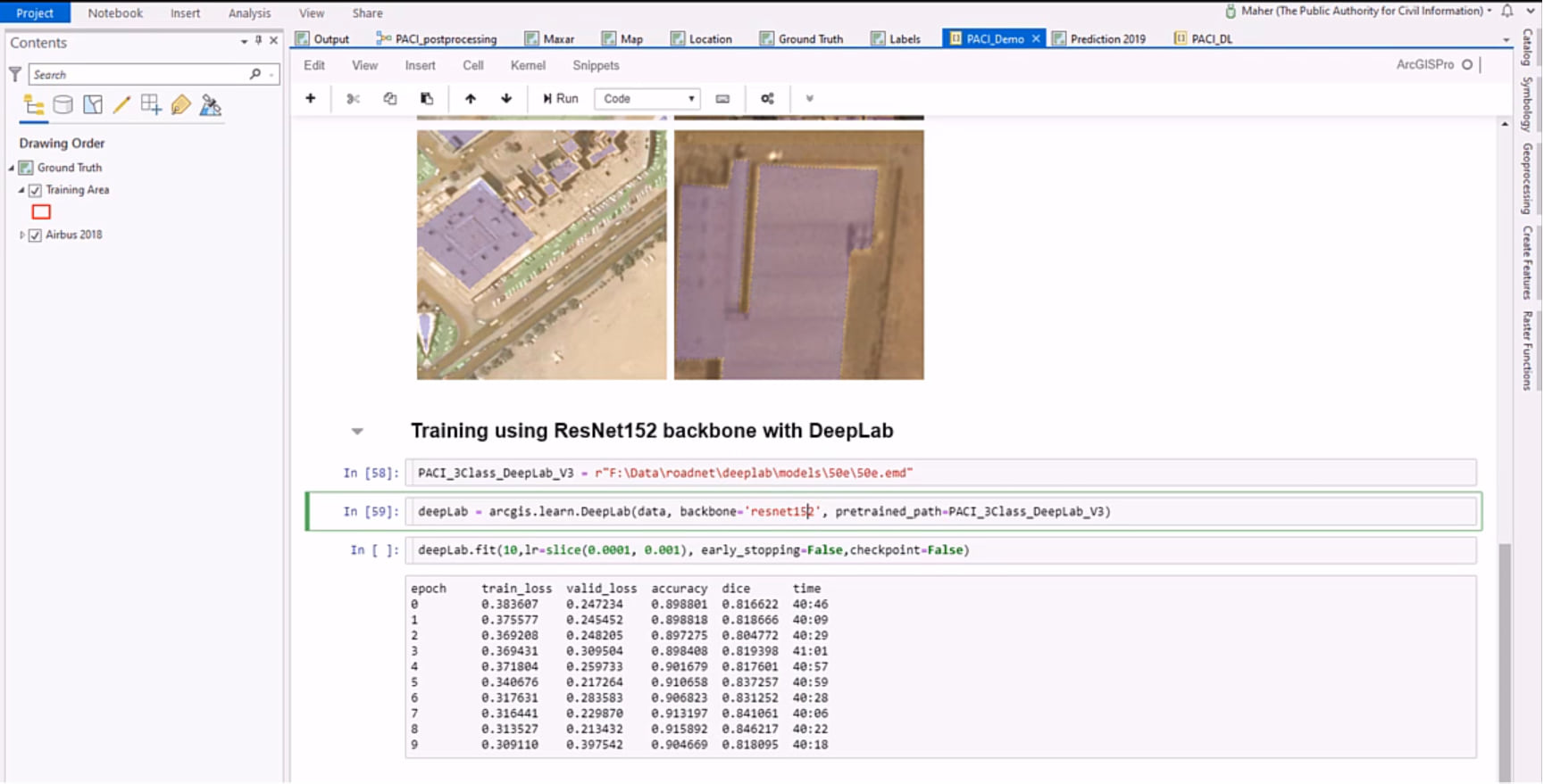
In order to do this, PACI used data from their app, Kuwait Finder and satellite imagery. Kuwait Finder is a GIS powered search application which serves more than 1.2 million users, including citizens and government officials. They used GPS logs from Kuwait Finder and satellite imagery to find gaps in their street network and GIS data. As we see above, they selected Airbus 2018 image as baseline and created the ground truth data covering three different classes – building footprints, streets and parking lots. They collected this ground truth data in several regions distributed across the country; it is the part of their demo where they show lots of rectangles throughout their country. Doing this helps get diversity in the training data and helps create a more generalizable model. They proceeded to use the arcgis.learn module of the ArcGIS API for Python to train the model. As a first step, they exported their data, prepared it for the model and visualized this prepared data to validate it. Using arcgis.learn.DeepLab with ResNet152 as the backbone, they trained the model using multiple iterations, each time starting from where they last stopped to increase its accuracy.

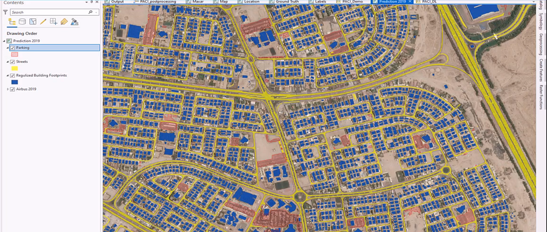
Spanning an area of over 600 square kilometers, they identified 111,563 building footprints, 78,689 street signals and 2600 parking lots. Manually digitizing these structures normally takes about 74 days. But all this process took was 1.5 hours of processing time and about 2 days for quality assurance and quality control, with a massive 900% increase in efficiency. By using the deep learning capabilities of ArcGIS, PACI is able to provide timely and accurate data to their citizens with improved efficiency.

Additional Resources:

Article Discussion: